MyTopo
Lightning Valley Nebraska US Topo Map
Couldn't load pickup availability
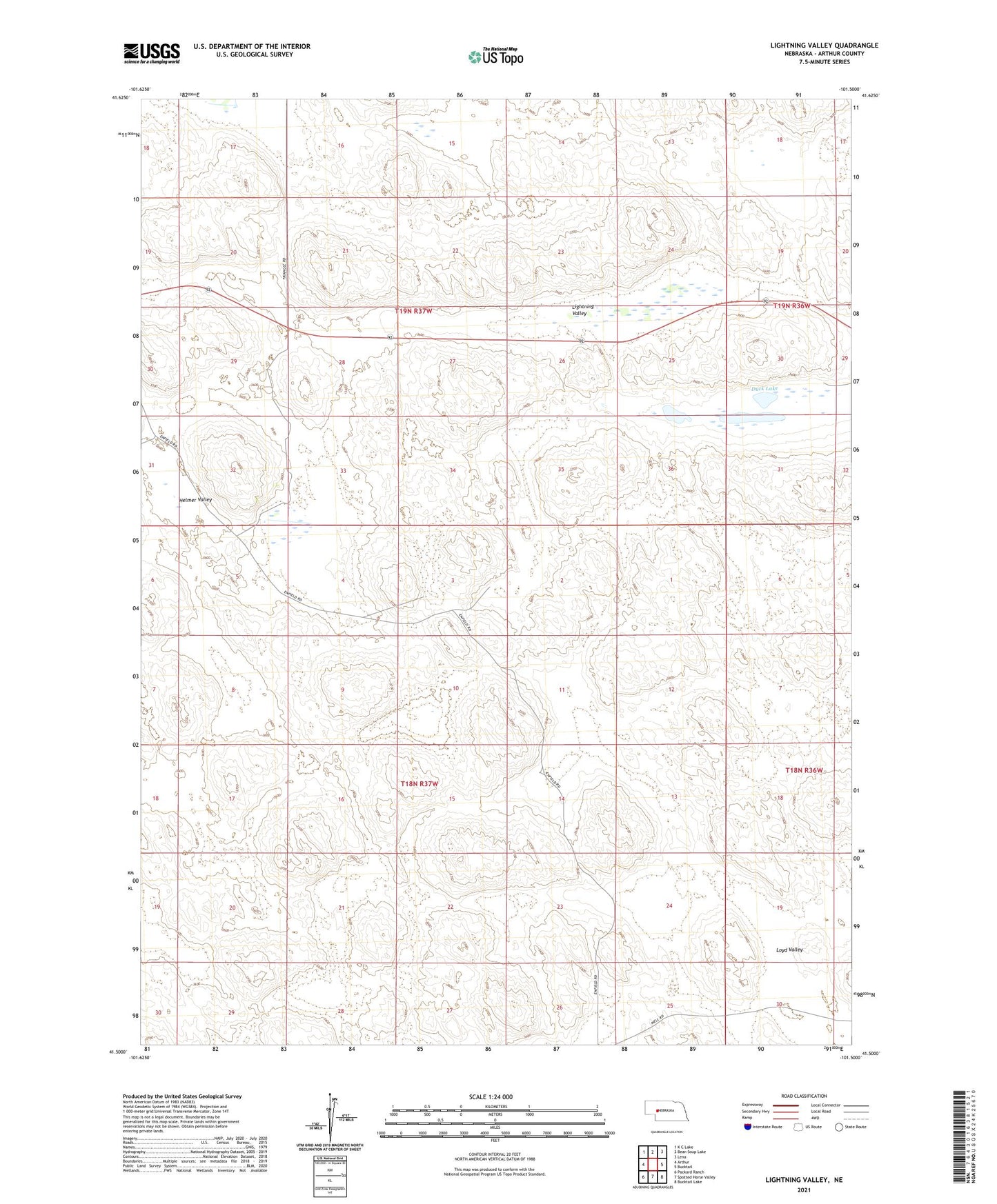
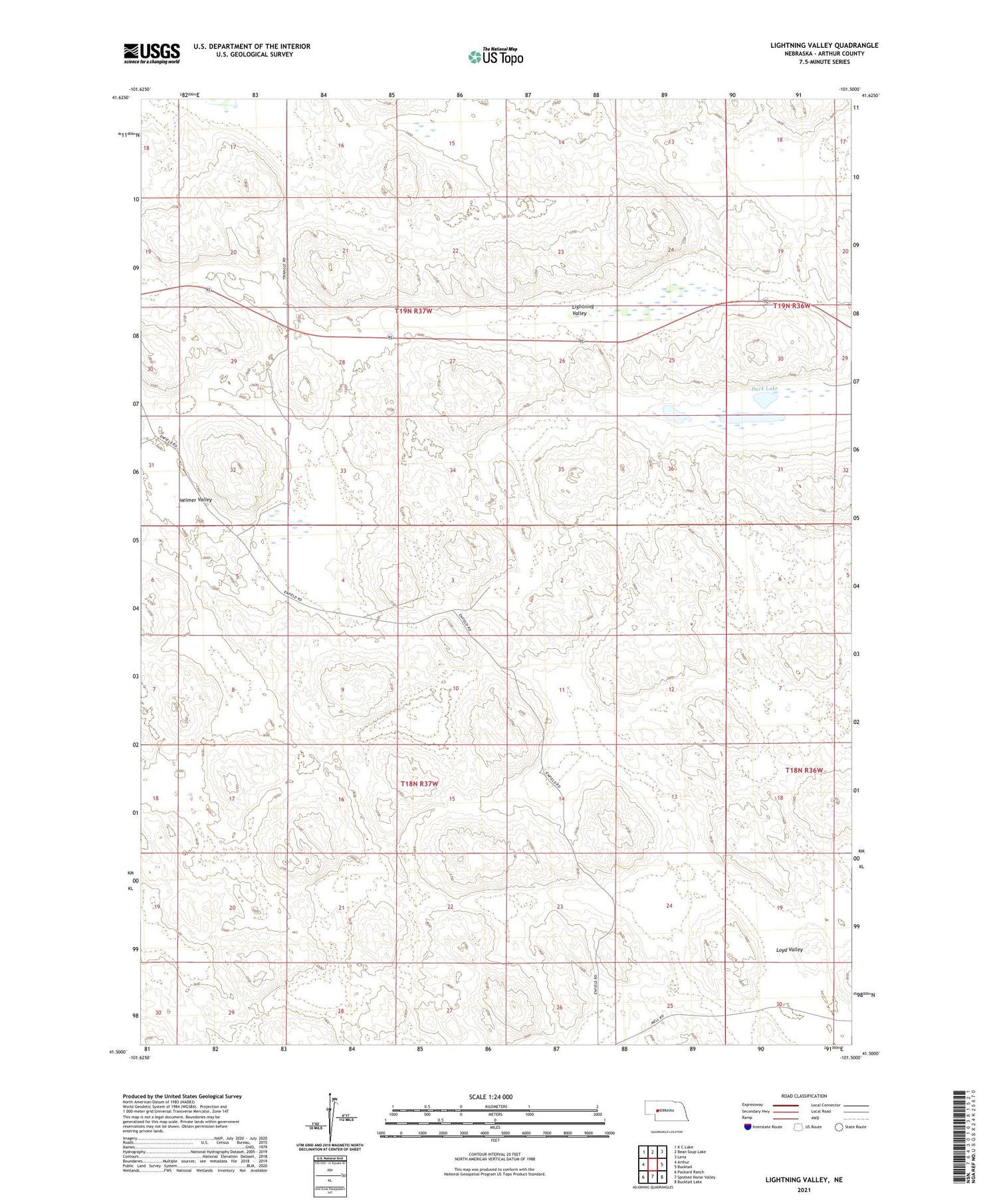
2021 topographic map quadrangle Lightning Valley in the state of Nebraska. Scale: 1:24000. Based on the newly updated USGS 7.5' US Topo map series, this map is in the following counties: Arthur. The map contains contour data, water features, and other items you are used to seeing on USGS maps, but also has updated roads and other features. This is the next generation of topographic maps. Printed on high-quality waterproof paper with UV fade-resistant inks.
Quads adjacent to this one:
West: Arthur
Northwest: K C Lake
North: Bean Soup Lake
Northeast: Lena
East: Bucktail
Southeast: Bucktail Lake
South: Spotted Horse Valley
Southwest: Packard Ranch
Contains the following named places: Anderberg Ranch, Bar 91 Ranch, Duck Lake, Enfield Ranch, Helmer Ranch, Helmer Valley, Houpt Ranch, Lightning Valley, Loyd Valley, Lyons Place, Reichenberg Ranch, Rounds Place, School Number 39, School Number 51, Soehls Lake