
MyTopo
Maxwell Nebraska US Topo Map
Couldn't load pickup availability
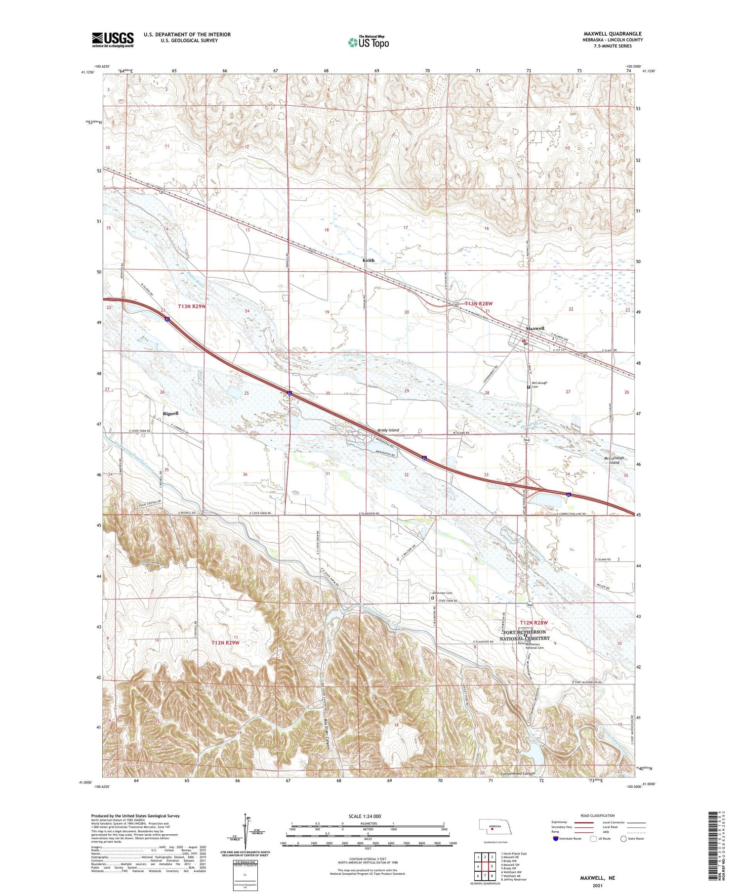
2021 topographic map quadrangle Maxwell in the state of Nebraska. Scale: 1:24000. Based on the newly updated USGS 7.5' US Topo map series, this map is in the following counties: Lincoln. The map contains contour data, water features, and other items you are used to seeing on USGS maps, but also has updated roads and other features. This is the next generation of topographic maps. Printed on high-quality waterproof paper with UV fade-resistant inks.
Quads adjacent to this one:
West: Maxwell SW
Northwest: North Platte East
North: Maxwell NE
Northeast: Brady NW
East: Brady SW
Southeast: Jeffrey Reservoir
South: Wellfleet NE
Southwest: Wellfleet NW
Contains the following named places: Assembly of God Church, Bignell, Bignell Post Office, Bignell School, Box Elder Canyon, Box Elder Canyon State Wildlife Management Area, Cottonwood Canyon, Cottonwood Canyon State Wildlife Management Area, Cottonwood Springs, Cottonwood Springs Post Office, Earth Dam-Canal Mile 128 Dam, Earth Dam-Canal Mile 135 Dam, Earth Dam-Canal Mile 95 Dam, First Baptist Church, Fort McPherson, Fort McPherson Campground, Fort McPherson Historical Marker, Fort McPherson National Cemetery, Fremont Slough, Keith, Maranatha Bible Camp, Maxwell, Maxwell Post Office, Maxwell Public Schools, Maxwell Volunteer Fire Department Station 1, Maxwell Volunteer Fire Department Station 2, McCullough Cemetery, Moran Dam-Canal Mile 57 Dam, Pawnee Slough State Wildlife Management Area, Plainview Cemetery, Ross Dam, Ross Reservoir, Village of Maxwell


