MyTopo
North Platte East Nebraska US Topo Map
Couldn't load pickup availability
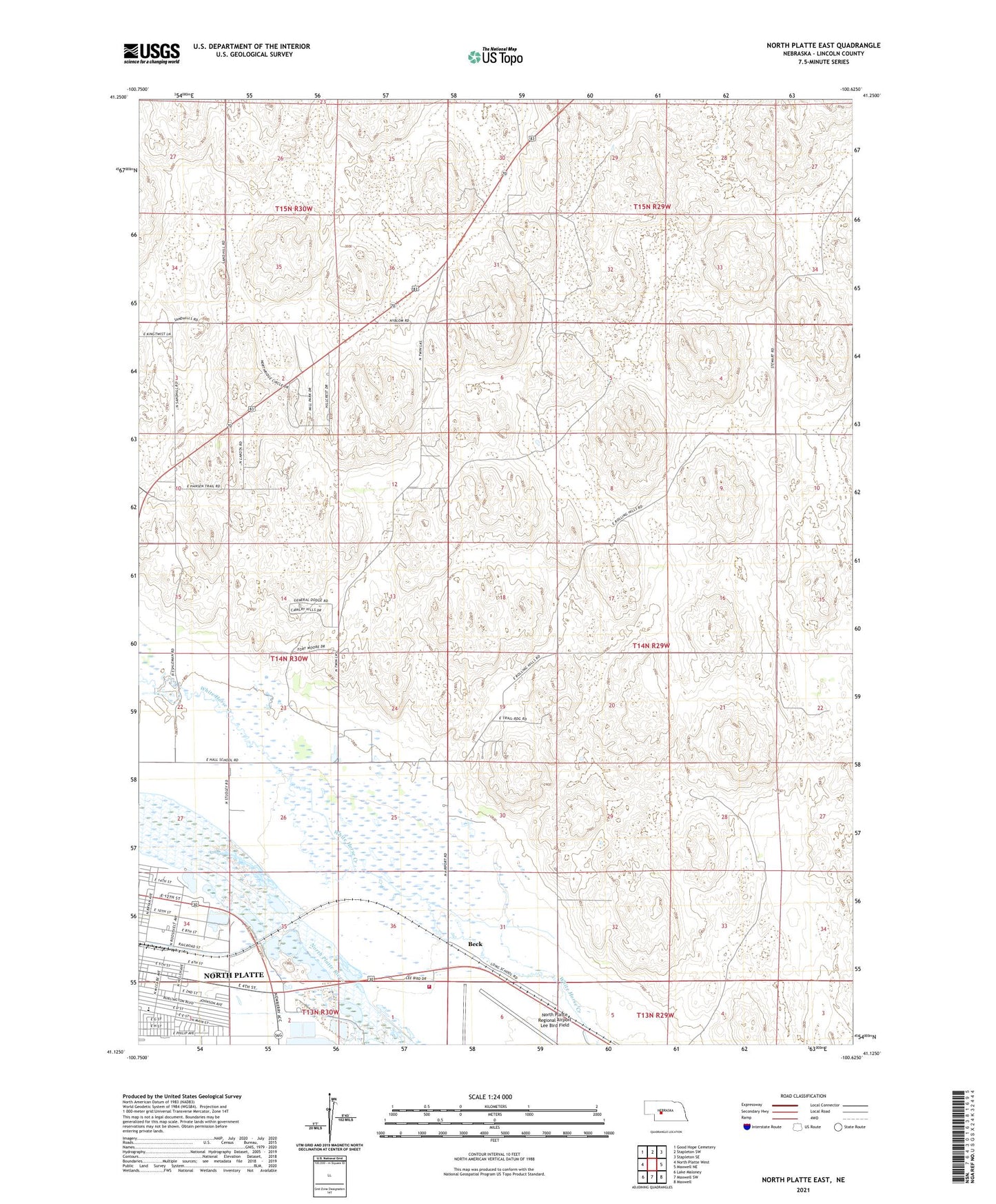
2021 topographic map quadrangle North Platte East in the state of Nebraska. Scale: 1:24000. Based on the newly updated USGS 7.5' US Topo map series, this map is in the following counties: Lincoln. The map contains contour data, water features, and other items you are used to seeing on USGS maps, but also has updated roads and other features. This is the next generation of topographic maps. Printed on high-quality waterproof paper with UV fade-resistant inks.
Quads adjacent to this one:
West: North Platte West
Northwest: Good Hope Cemetery
North: Stapleton SW
Northeast: Stapleton SE
East: Maxwell NE
Southeast: Maxwell
South: Maxwell SW
Southwest: Lake Maloney
This map covers the same area as the classic USGS quad with code o41100b6.
Contains the following named places: Beck, Hall School, KELN-FM (North Platte), KNOP-TV (North Platte), KXNP-FM (North Platte), North Platte Regional Airport Fire Department, North Platte Regional Airport Lee Bird Field, Our Redeemer Lutheran Church, Our Redeemer School, Riverside Baptist Church