MyTopo
Mayhew Lake Nebraska US Topo Map
Couldn't load pickup availability
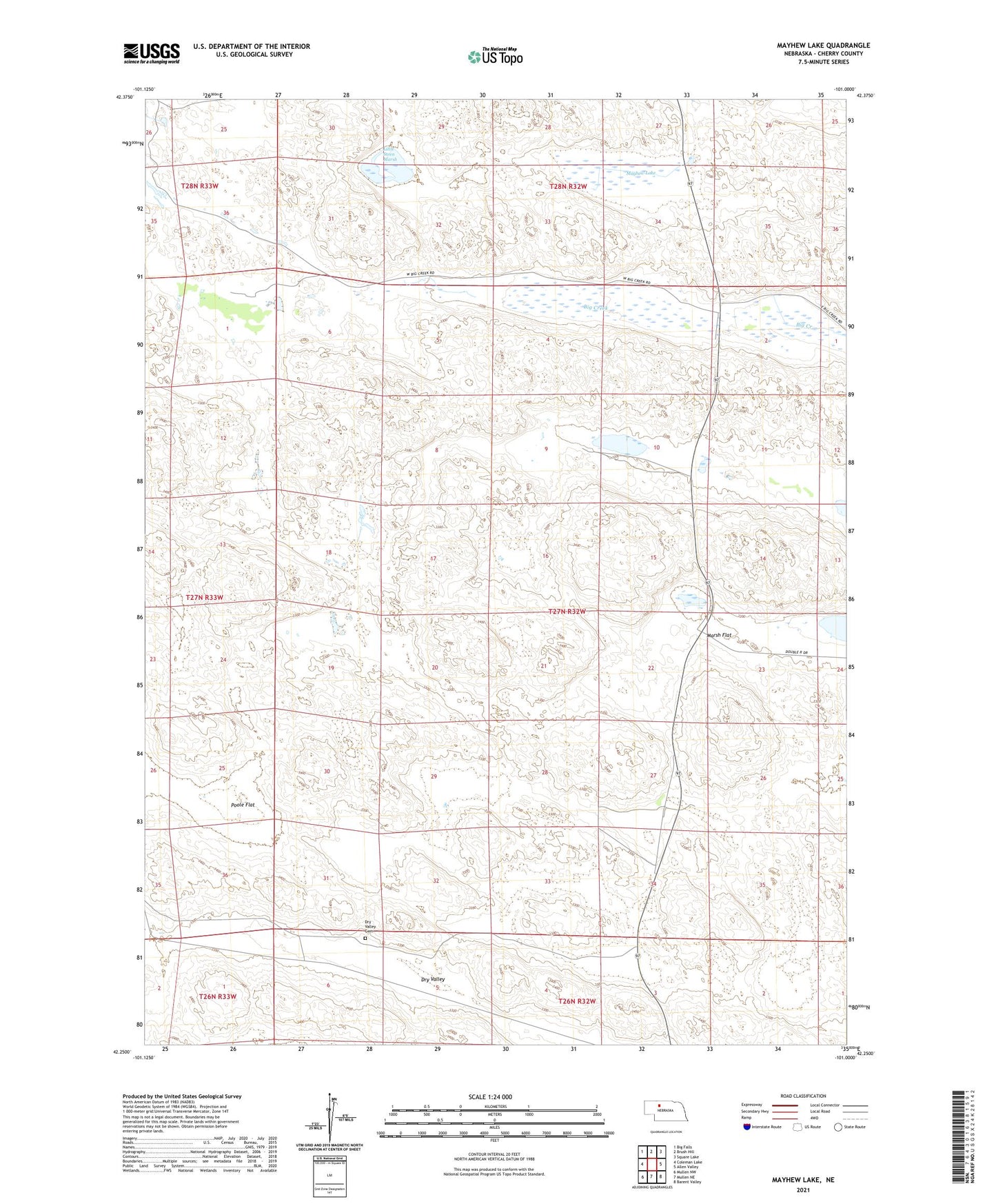
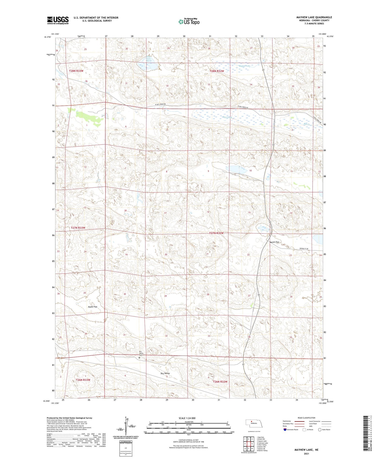
2021 topographic map quadrangle Mayhew Lake in the state of Nebraska. Scale: 1:24000. Based on the newly updated USGS 7.5' US Topo map series, this map is in the following counties: Cherry. The map contains contour data, water features, and other items you are used to seeing on USGS maps, but also has updated roads and other features. This is the next generation of topographic maps. Printed on high-quality waterproof paper with UV fade-resistant inks.
Quads adjacent to this one:
West: Coleman Lake
Northwest: Big Falls
North: Brush Hill
Northeast: Square Lake
East: Allen Valley
Southeast: Barent Valley
South: Mullen NE
Southwest: Mullen NW
Contains the following named places: Bufinch Ranch, Dry Valley School, Little Steen Marsh, Marsh Flat, Marsh Lake, Mayhew Lake, Poole Flat, School Number 66, Starr Camp, Wells Election Precinct, Yaryan Ranch