MyTopo
Barent Valley Nebraska US Topo Map
Couldn't load pickup availability
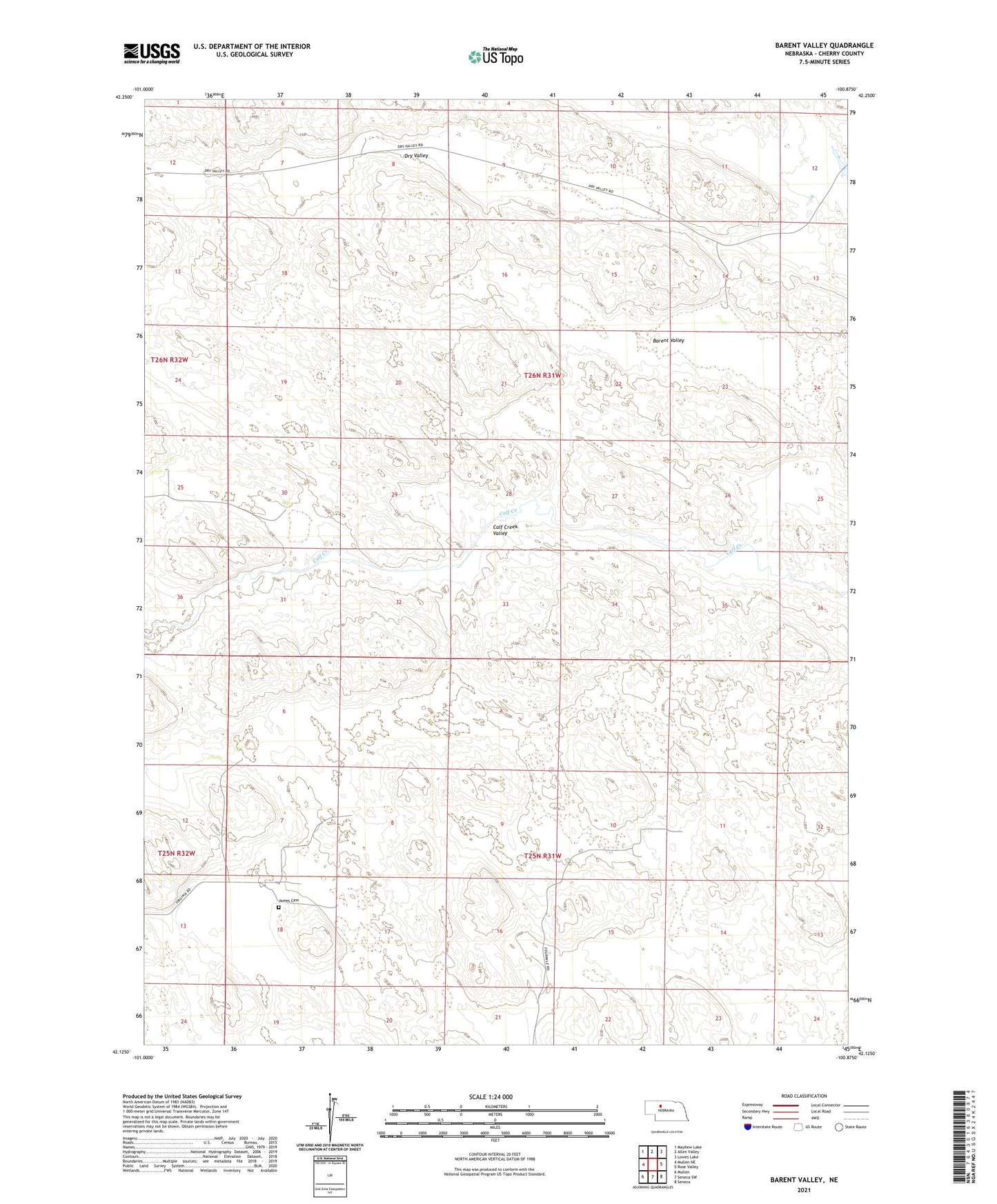
2021 topographic map quadrangle Barent Valley in the state of Nebraska. Scale: 1:24000. Based on the newly updated USGS 7.5' US Topo map series, this map is in the following counties: Cherry. The map contains contour data, water features, and other items you are used to seeing on USGS maps, but also has updated roads and other features. This is the next generation of topographic maps. Printed on high-quality waterproof paper with UV fade-resistant inks.
Quads adjacent to this one:
West: Mullen NE
Northwest: Mayhew Lake
North: Allen Valley
Northeast: Lowes Lake
East: Rose Valley
Southeast: Seneca
South: Seneca SW
Southwest: Mullen
This map covers the same area as the classic USGS quad with code o42100b8.
Contains the following named places: Barent Valley, Dry Valley, Giles Ranch, Huddle School, James Cemetery, Murry Ranch, Phillips Ranch, Swendener Ranch, Virginia School, Walker Ranch