MyTopo
Murray Lake NE Nebraska US Topo Map
Couldn't load pickup availability
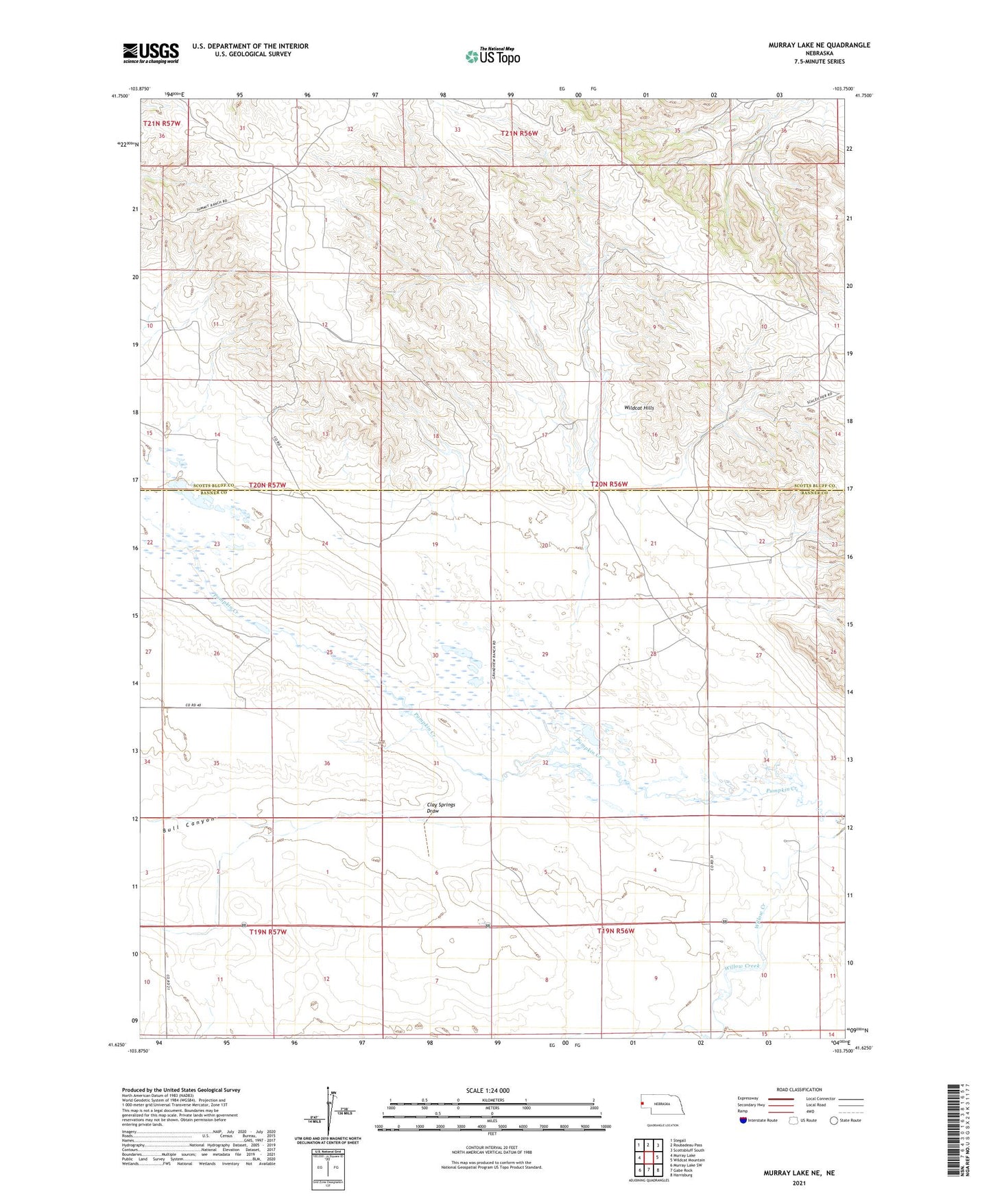
2021 topographic map quadrangle Murray Lake NE in the state of Nebraska. Scale: 1:24000. Based on the newly updated USGS 7.5' US Topo map series, this map is in the following counties: Banner, Scotts Bluff. The map contains contour data, water features, and other items you are used to seeing on USGS maps, but also has updated roads and other features. This is the next generation of topographic maps. Printed on high-quality waterproof paper with UV fade-resistant inks.
Quads adjacent to this one:
West: Murray Lake
Northwest: Stegall
North: Roubadeau Pass
Northeast: Scottsbluff South
East: Wildcat Mountain
Southeast: Harrisburg
South: Gabe Rock
Southwest: Murray Lake SW
Contains the following named places: Bull Canyon, Clay Springs Draw, Scrivens Diversion Dam, Scrivens Reservoir, Willow Creek