MyTopo
Paxton North Nebraska US Topo Map
Couldn't load pickup availability
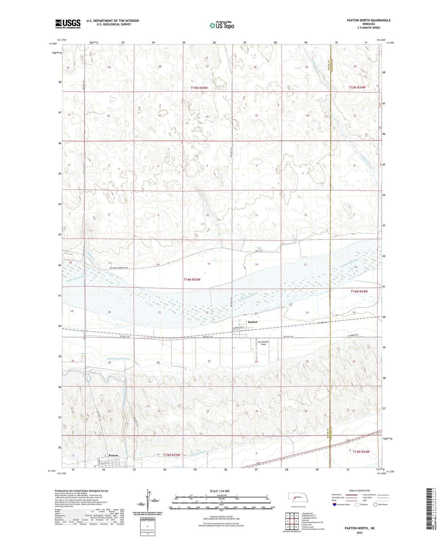
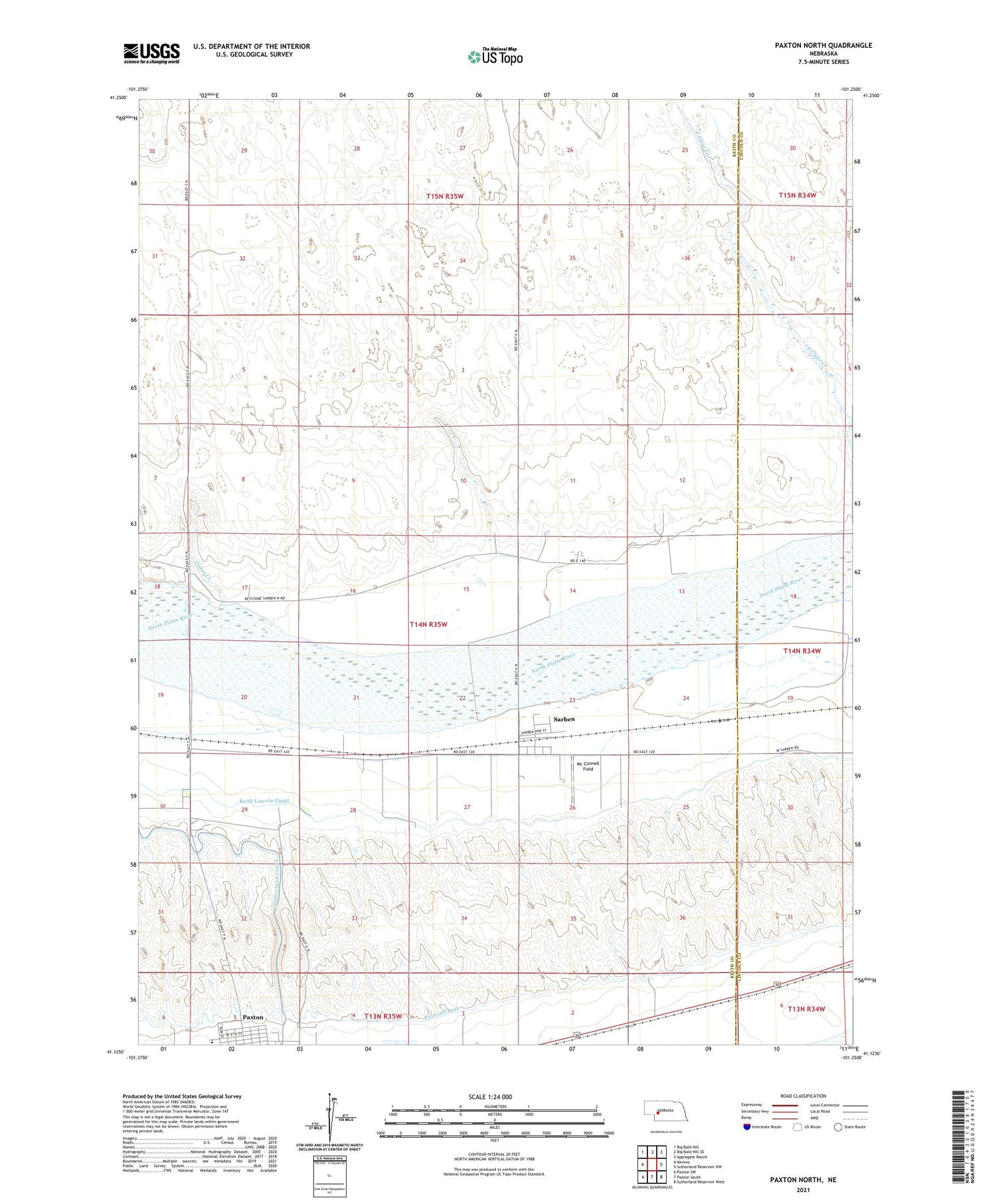
2021 topographic map quadrangle Paxton North in the state of Nebraska. Scale: 1:24000. Based on the newly updated USGS 7.5' US Topo map series, this map is in the following counties: Keith, Lincoln. The map contains contour data, water features, and other items you are used to seeing on USGS maps, but also has updated roads and other features. This is the next generation of topographic maps. Printed on high-quality waterproof paper with UV fade-resistant inks.
Quads adjacent to this one:
West: Nevens
Northwest: Big Bald Hill
North: Big Bald Hill SE
Northeast: Applegate Ranch
East: Sutherland Reservoir NW
Southeast: Sutherland Reservoir West
South: Paxton South
Southwest: Paxton SW
Contains the following named places: Cedar Creek, Keith Lincoln Canal, Mc Connell Field, Methodist Church, Paxton Consolidated Schools, Saint Patricks Catholic Church, Sarben, Sarben Census Designated Place, Sarben Post Office, Sheridan Wilson Canal, Trinity Evangelical Lutheran Church