MyTopo
Well Valley Nebraska US Topo Map
Couldn't load pickup availability
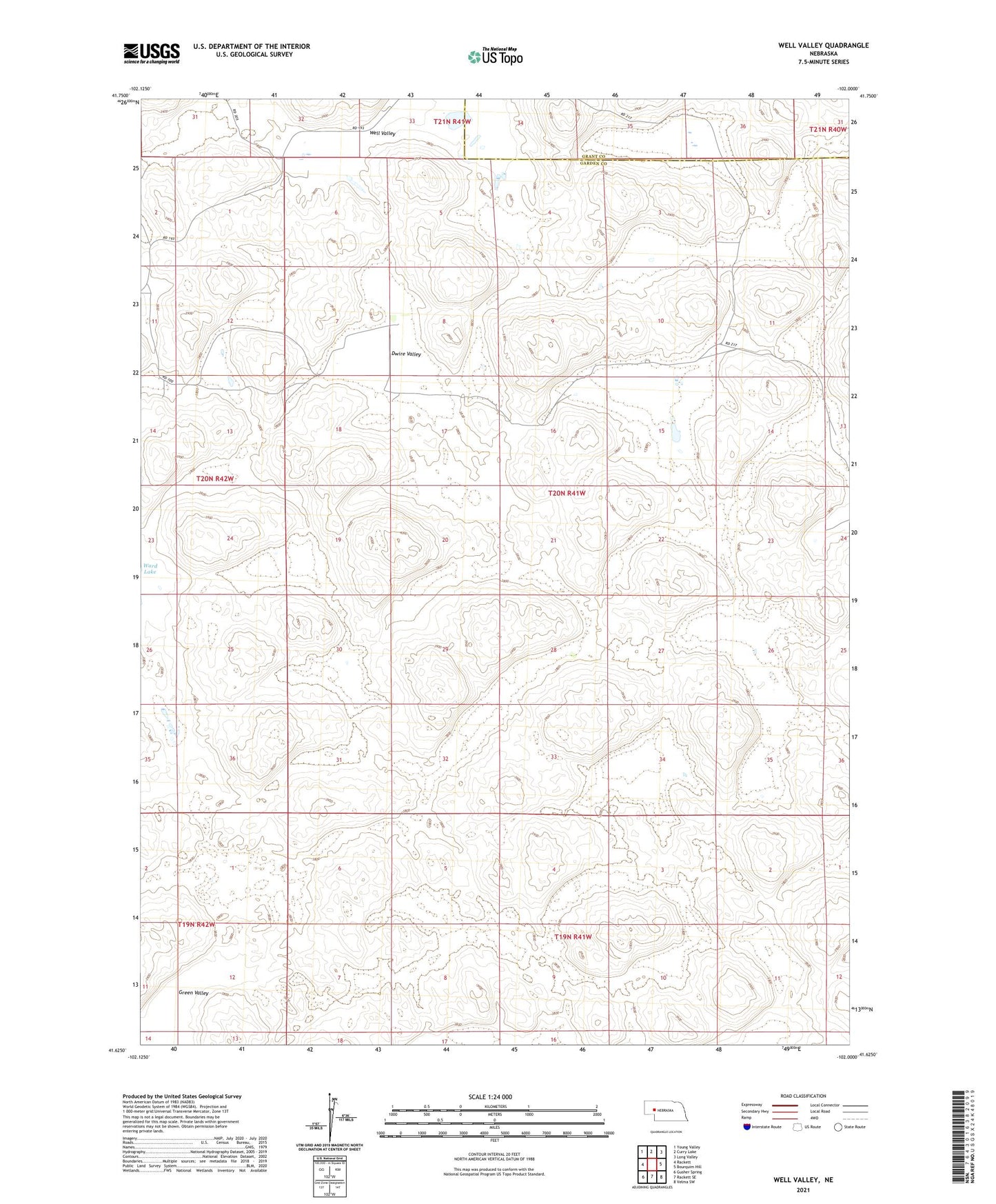
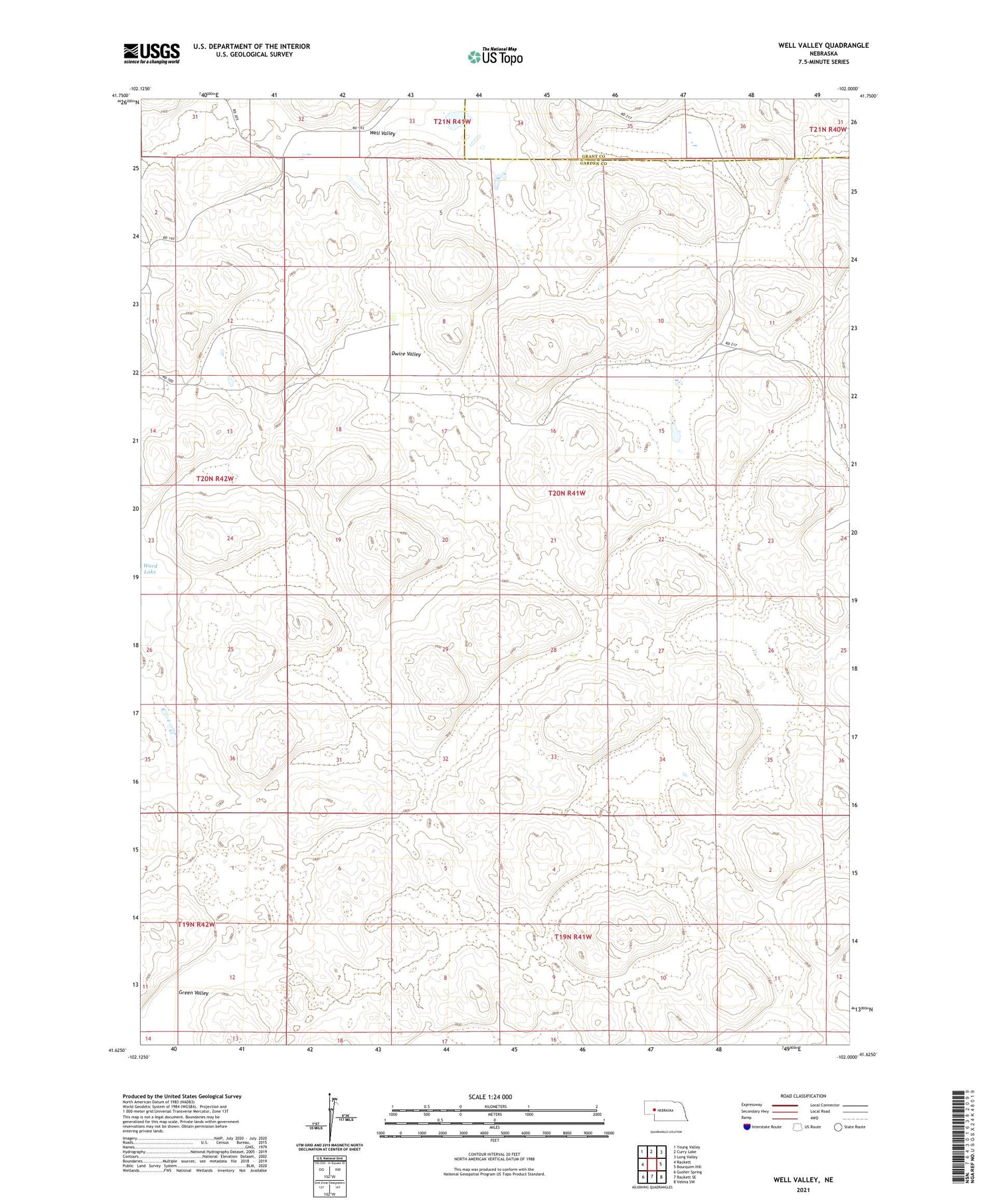
2021 topographic map quadrangle Well Valley in the state of Nebraska. Scale: 1:24000. Based on the newly updated USGS 7.5' US Topo map series, this map is in the following counties: Garden, Grant. The map contains contour data, water features, and other items you are used to seeing on USGS maps, but also has updated roads and other features. This is the next generation of topographic maps. Printed on high-quality waterproof paper with UV fade-resistant inks.
Quads adjacent to this one:
West: Rackett
Northwest: Young Valley
North: Curry Lake
Northeast: Long Valley
East: Bourquim Hill
Southeast: Velma SW
South: Rackett SE
Southwest: Gusher Spring
Contains the following named places: Cochran Ranch, Dwire Valley, Green Valley, Hisel Ranch, School Number 31, Smith Ranch, Sutton Buggy Pole Ranch, Well Valley