MyTopo
Whitman NW Nebraska US Topo Map
Couldn't load pickup availability
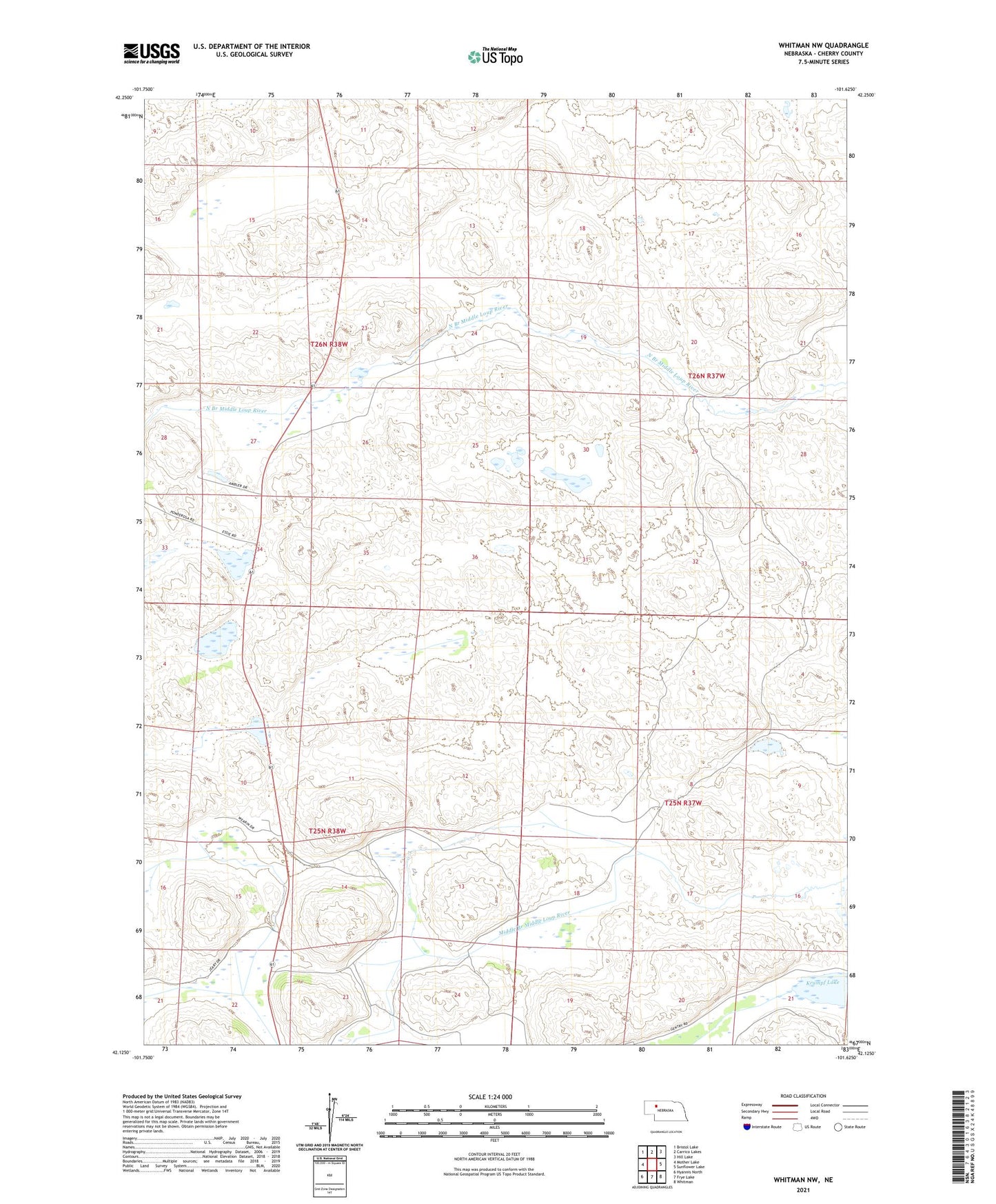
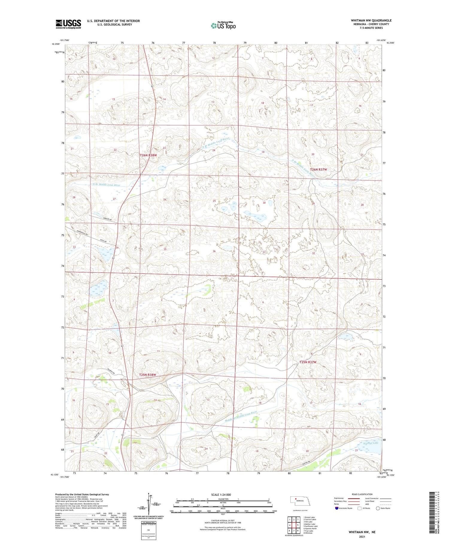
2021 topographic map quadrangle Whitman NW in the state of Nebraska. Scale: 1:24000. Based on the newly updated USGS 7.5' US Topo map series, this map is in the following counties: Cherry. The map contains contour data, water features, and other items you are used to seeing on USGS maps, but also has updated roads and other features. This is the next generation of topographic maps. Printed on high-quality waterproof paper with UV fade-resistant inks.
Quads adjacent to this one:
West: Mother Lake
Northwest: Bristol Lake
North: Carrico Lakes
Northeast: Hill Lake
East: Sunflower Lake
Southeast: Whitman
South: Frye Lake
Southwest: Hyannis North
Contains the following named places: Dumbbell Ranch, Red Mill School, Rothwell Ranch