MyTopo
Bean Flat East Nevada US Topo Map
Couldn't load pickup availability
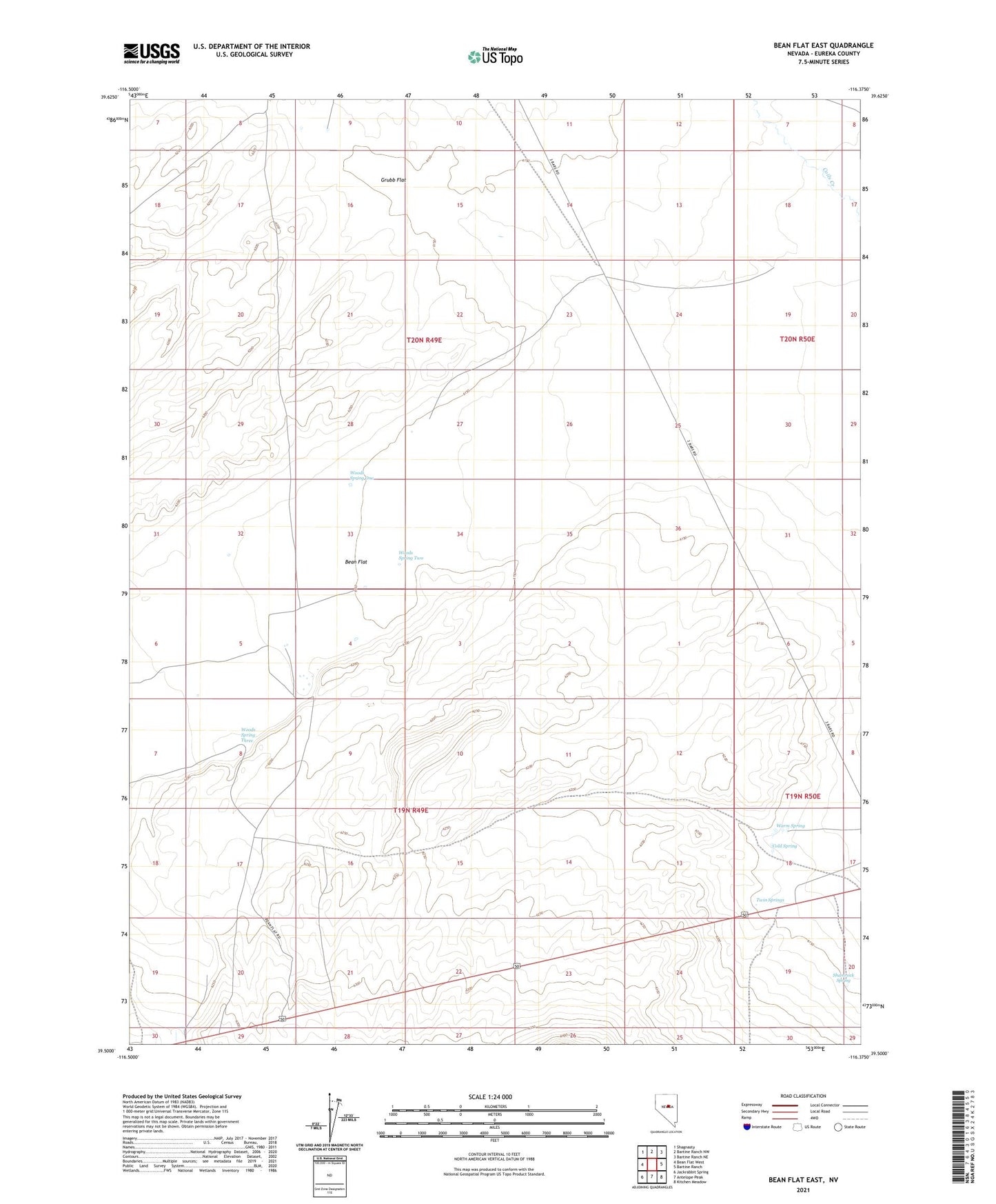
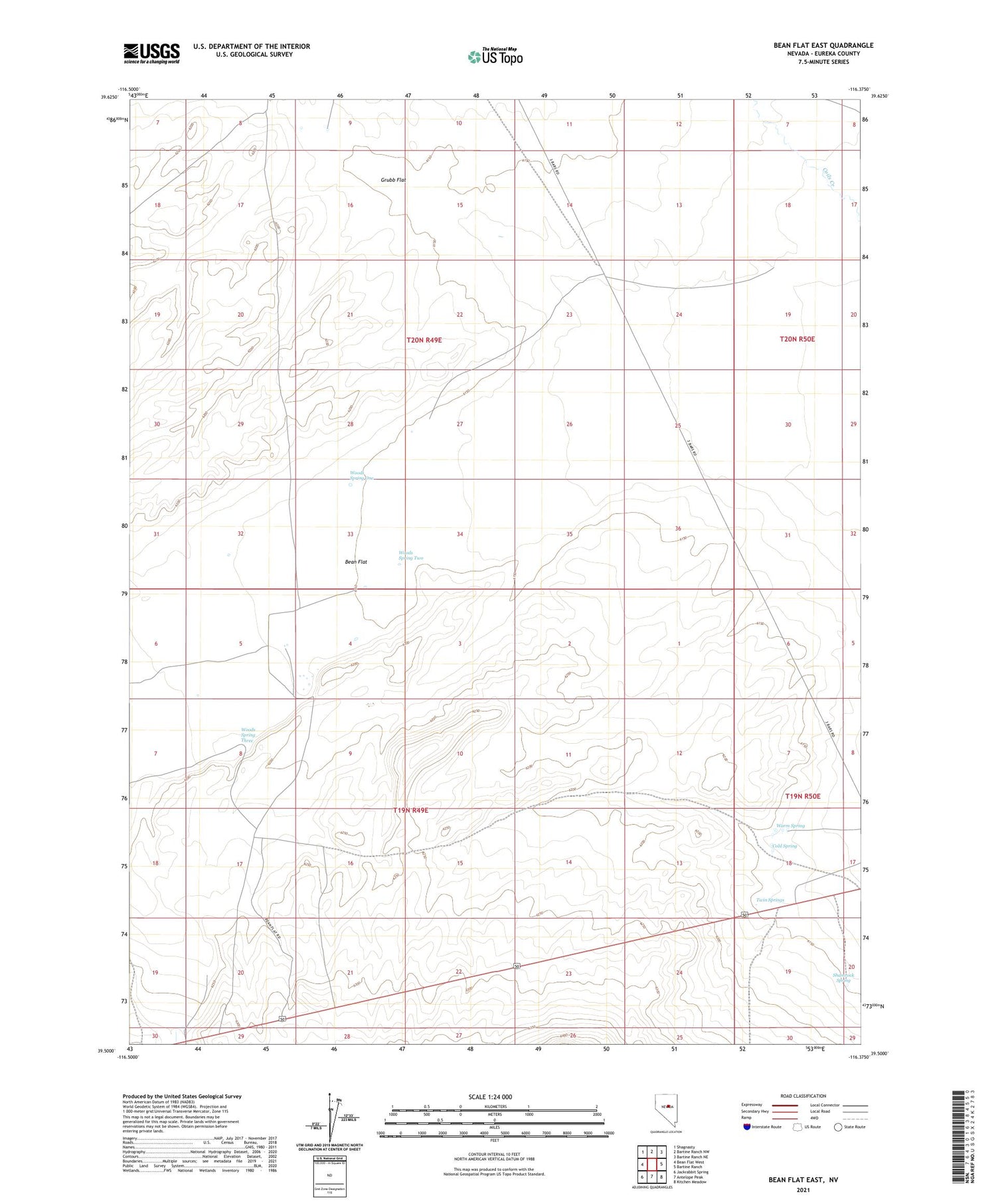
2021 topographic map quadrangle Bean Flat East in the state of Nevada. Scale: 1:24000. Based on the newly updated USGS 7.5' US Topo map series, this map is in the following counties: Eureka. The map contains contour data, water features, and other items you are used to seeing on USGS maps, but also has updated roads and other features. This is the next generation of topographic maps. Printed on high-quality waterproof paper with UV fade-resistant inks.
Quads adjacent to this one:
West: Bean Flat West
Northwest: Shagnasty
North: Bartine Ranch NW
Northeast: Bartine Ranch NE
East: Bartine Ranch
Southeast: Kitchen Meadow
South: Antelope Peak
Southwest: Jackrabbit Spring
Contains the following named places: Bean Flat, Camp Station, Cold Spring, Grub Flat Well, Grubb Flat, Shamrock Spring, Twin Springs, Warm Spring, Willow Creek, Woods Spring One, Woods Spring Three, Woods Spring Two