MyTopo
Chukar Canyon Nevada US Topo Map
Couldn't load pickup availability
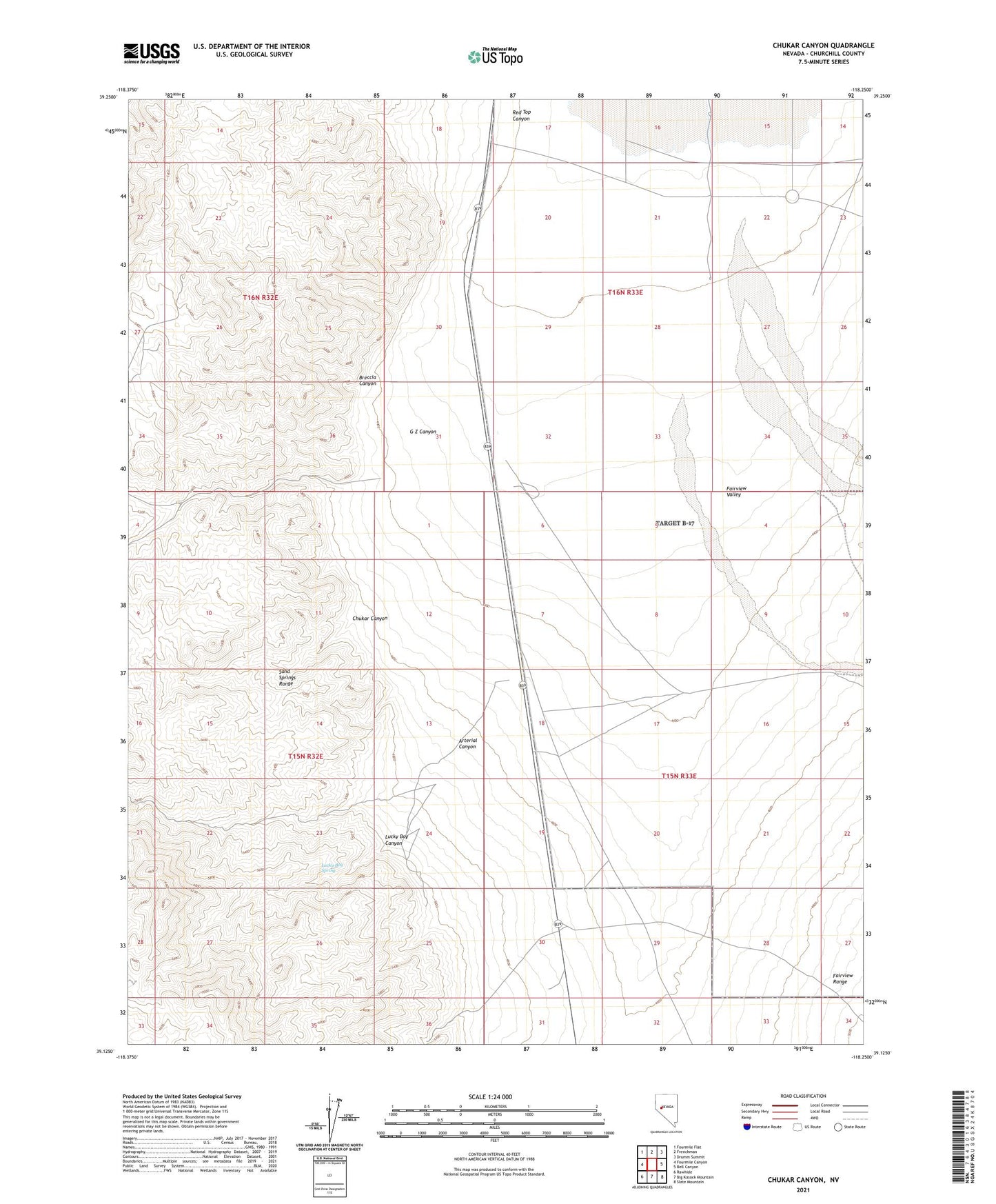
2021 topographic map quadrangle Chukar Canyon in the state of Nevada. Scale: 1:24000. Based on the newly updated USGS 7.5' US Topo map series, this map is in the following counties: Churchill. The map contains contour data, water features, and other items you are used to seeing on USGS maps, but also has updated roads and other features. This is the next generation of topographic maps. Printed on high-quality waterproof paper with UV fade-resistant inks.
Quads adjacent to this one:
West: Fourmile Canyon
Northwest: Fourmile Flat
North: Frenchman
Northeast: Drumm Summit
East: Bell Canyon
Southeast: Slate Mountain
South: Big Kasock Mountain
Southwest: Rawhide
Contains the following named places: AEC Well 1-4, Arterial Canyon, Breccia Canyon, Chukar Canyon, Eagle Valley, Eagleville, Eagleville Mine, G Z Canyon, Lucky Boy Canyon, Lucky Boy Spring, Red Top Canyon, South Well