MyTopo
Crittenden Springs Nevada US Topo Map
Couldn't load pickup availability
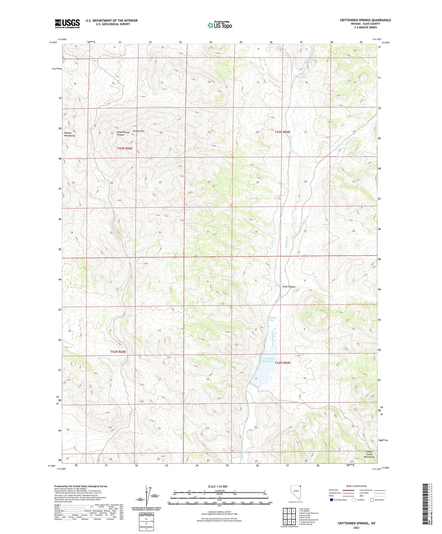
2021 topographic map quadrangle Crittenden Springs in the state of Nevada. Scale: 1:24000. Based on the newly updated USGS 7.5' US Topo map series, this map is in the following counties: Elko. The map contains contour data, water features, and other items you are used to seeing on USGS maps, but also has updated roads and other features. This is the next generation of topographic maps. Printed on high-quality waterproof paper with UV fade-resistant inks.
Quads adjacent to this one:
West: Delano Peak
Northwest: Dry Canyon
North: The Baldies
Northeast: Death Creek Reservoir
East: Dairy Valley
Southeast: Jackson Spring
South: Twelvemile Ranch
Southwest: Ninemile Mountain NE
Contains the following named places: Crittenden Dam, Crittenden Ranch, Crittenden Reservoir, Crittenden Springs, Granite Creek, Grassy Hill, Long Canyon, Mesquite Well, Mill Creek, Mill Creek Reservoir, Silver Creek, Willow Creek