MyTopo
Dairy Valley Nevada US Topo Map
Couldn't load pickup availability
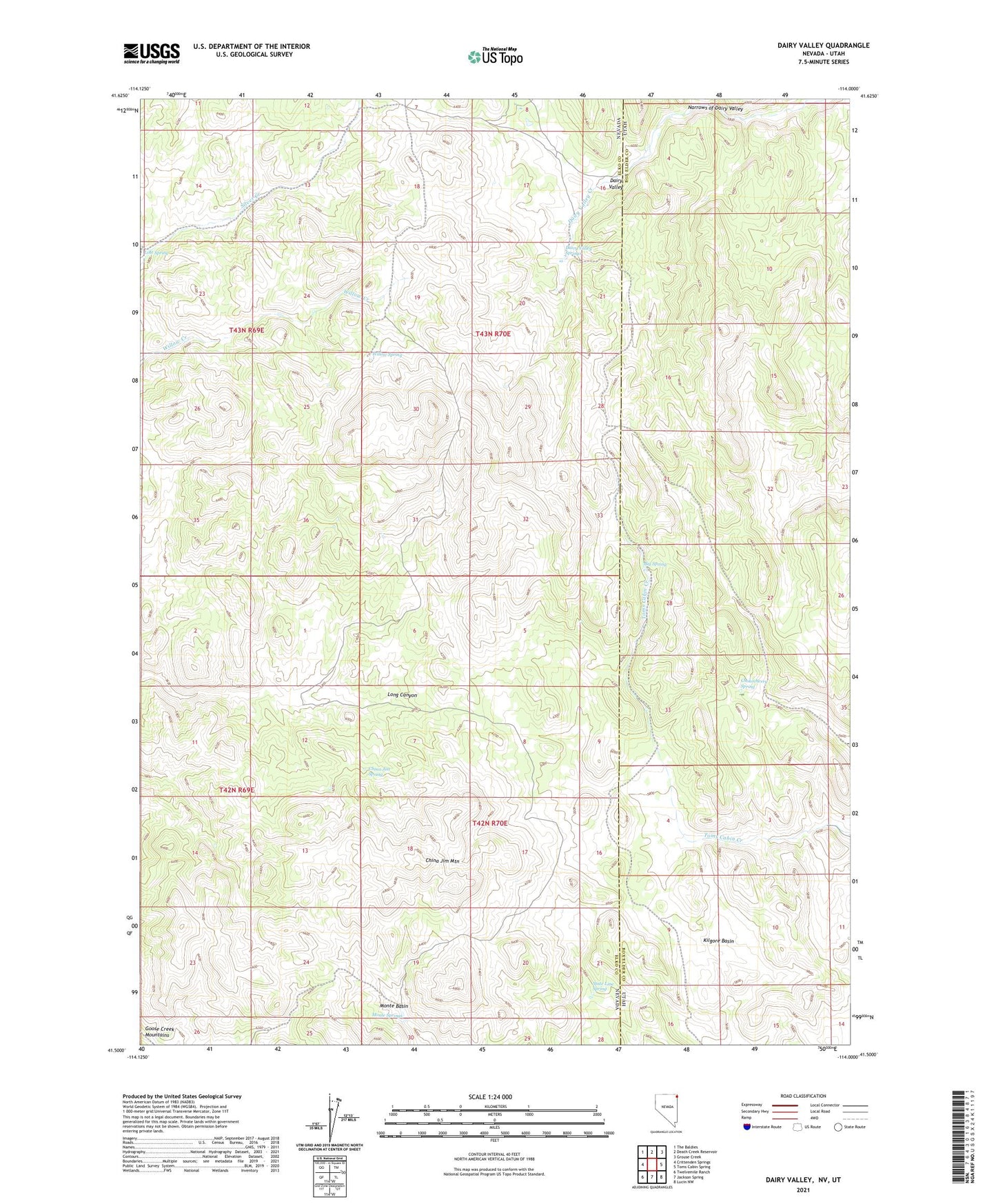
2021 topographic map quadrangle Dairy Valley in the states of Nevada, Utah. Scale: 1:24000. Based on the newly updated USGS 7.5' US Topo map series, this map is in the following counties: Elko, Box Elder. The map contains contour data, water features, and other items you are used to seeing on USGS maps, but also has updated roads and other features. This is the next generation of topographic maps. Printed on high-quality waterproof paper with UV fade-resistant inks.
Quads adjacent to this one:
West: Crittenden Springs
Northwest: The Baldies
North: Death Creek Reservoir
Northeast: Grouse Creek
East: Toms Cabin Spring
Southeast: Lucin NW
South: Jackson Spring
Southwest: Twelvemile Ranch
Contains the following named places: Big Spring, China Jim Mountain, China Jim Spring, Chokecherry Spring, Dairy Valley, Dairy Valley Springs, Grouse Creek, Kilgore Basin, Lost Spring, Monte Basin, Monte Springs, Narrows of Dairy Valley, State Line Spring, Willow Spring