MyTopo
Fisher Canyon Nevada US Topo Map
Couldn't load pickup availability
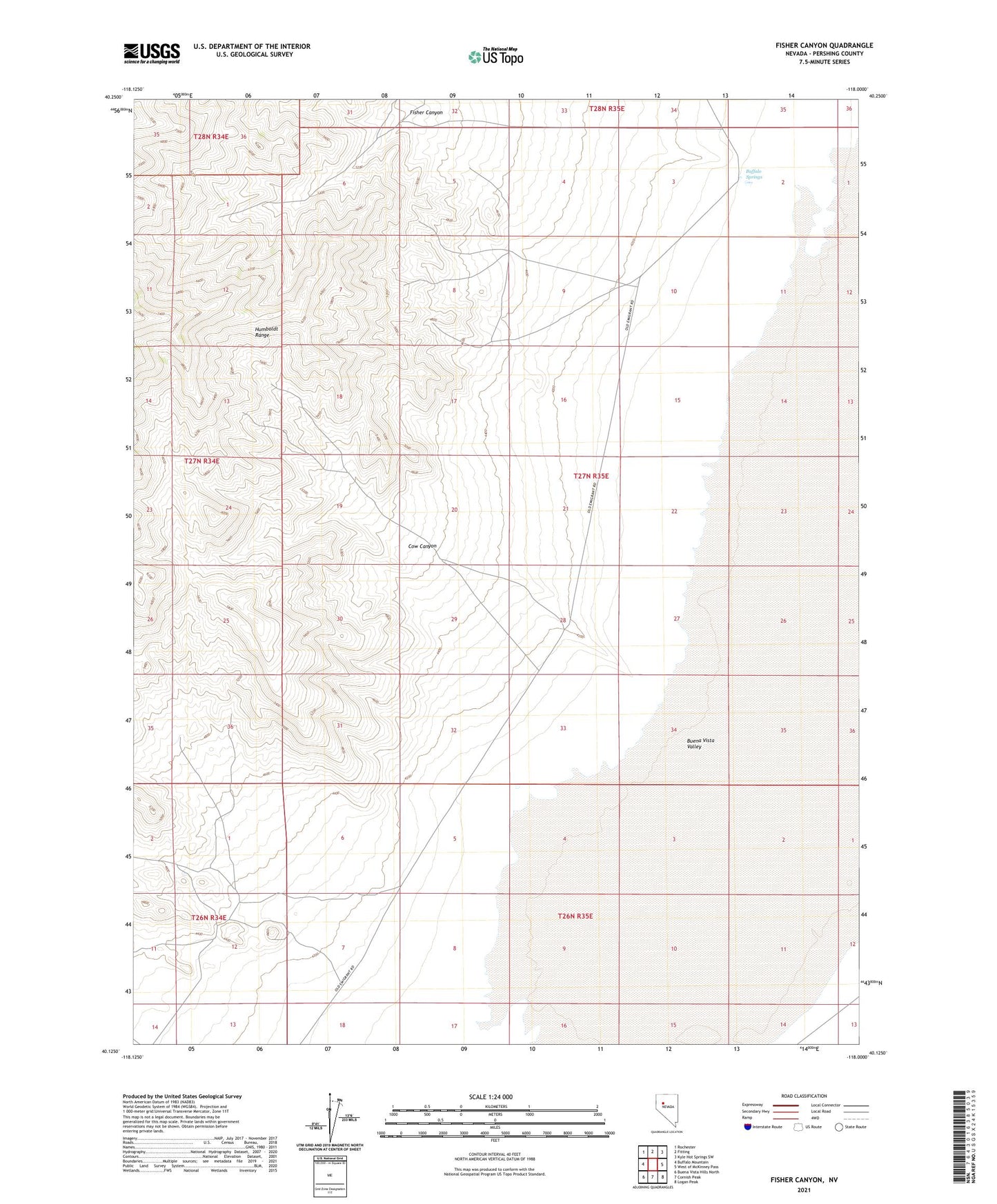
2021 topographic map quadrangle Fisher Canyon in the state of Nevada. Scale: 1:24000. Based on the newly updated USGS 7.5' US Topo map series, this map is in the following counties: Pershing. The map contains contour data, water features, and other items you are used to seeing on USGS maps, but also has updated roads and other features. This is the next generation of topographic maps. Printed on high-quality waterproof paper with UV fade-resistant inks.
Quads adjacent to this one:
West: Buffalo Mountain
Northwest: Rochester
North: Fitting
Northeast: Kyle Hot Springs SW
East: West of McKinney Pass
Southeast: Logan Peak
South: Cornish Peak
Southwest: Buena Vista Hills North
Contains the following named places: Buffalo Springs, Buffalo Station, Cow Canyon, Fisher Canyon, Hollywood Mine, Silver Dike Mine