MyTopo
Idaho Canyon Spring Nevada US Topo Map
Couldn't load pickup availability
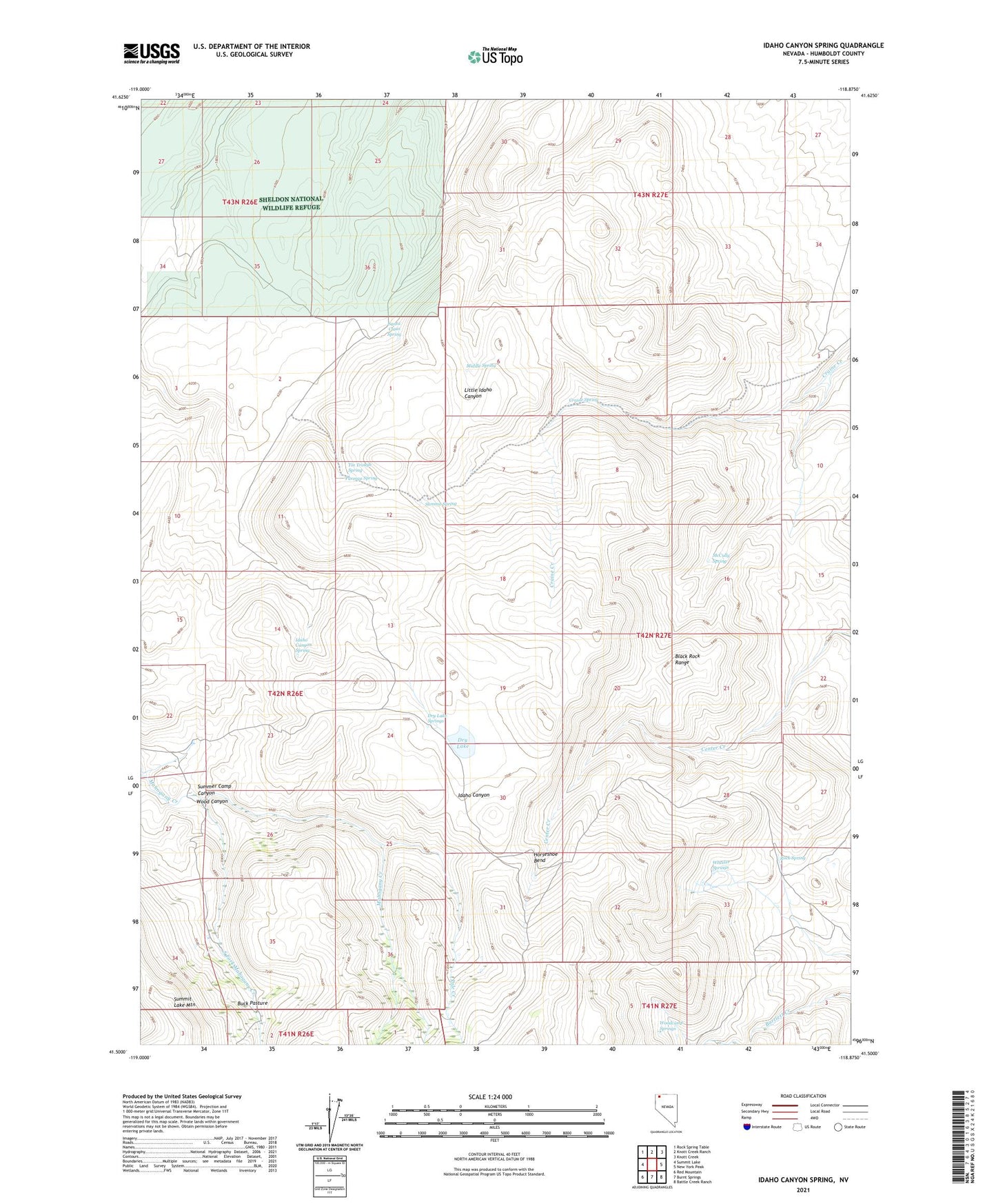
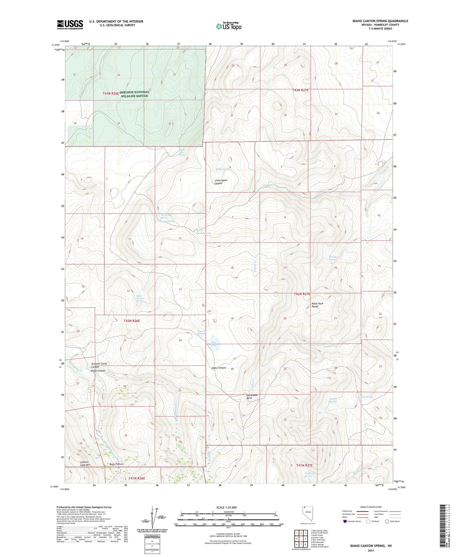
2021 topographic map quadrangle Idaho Canyon Spring in the state of Nevada. Scale: 1:24000. Based on the newly updated USGS 7.5' US Topo map series, this map is in the following counties: Humboldt. The map contains contour data, water features, and other items you are used to seeing on USGS maps, but also has updated roads and other features. This is the next generation of topographic maps. Printed on high-quality waterproof paper with UV fade-resistant inks.
Quads adjacent to this one:
West: Summit Lake
Northwest: Rock Spring Table
North: Knott Creek Ranch
Northeast: Knott Creek
East: New York Peak
Southeast: Battle Creek Ranch
South: Burnt Springs
Southwest: Red Mountain
Contains the following named places: Buck Pasture, Craine Spring, Dry Lake, Dry Lake Springs, Horseshoe Bend, Idaho Canyon Spring, Lahontan Cutthroat Trout Natural Area, McCully Spring, Middle Spring, Parman Spring, Pole Creek, Rock Spring, Santa Claus Spring, South Fork Mahogany Creek, Stanley Camp, Summer Camp, Summer Camp Canyon, Summit Lake Mountain, Summit Spring, Tin Trough Spring, Wheeler Springs, Wood Canyon, Woodcamp Springs