
MyTopo
Long Canyon Nevada US Topo Map
Couldn't load pickup availability
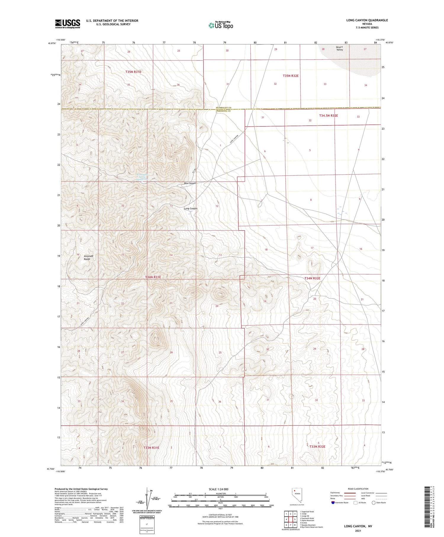
2021 topographic map quadrangle Long Canyon in the state of Nevada. Scale: 1:24000. Based on the newly updated USGS 7.5' US Topo map series, this map is in the following counties: Pershing, Humboldt. The map contains contour data, water features, and other items you are used to seeing on USGS maps, but also has updated roads and other features. This is the next generation of topographic maps. Printed on high-quality waterproof paper with UV fade-resistant inks.
Quads adjacent to this one:
West: Sawtooth Knob
Northwest: Sugarloaf Knob
North: Jungo
Northeast: Jungo NE
East: Alpha Mountain
Southeast: Rye Patch Reservoir North
South: Majuba Mountain
Southwest: Scossa
Contains the following named places: Box Canyon, Box Canyon Spring Number Two, Haystack Mine, Long Canyon


