MyTopo
Piute Point Nevada US Topo Map
Couldn't load pickup availability
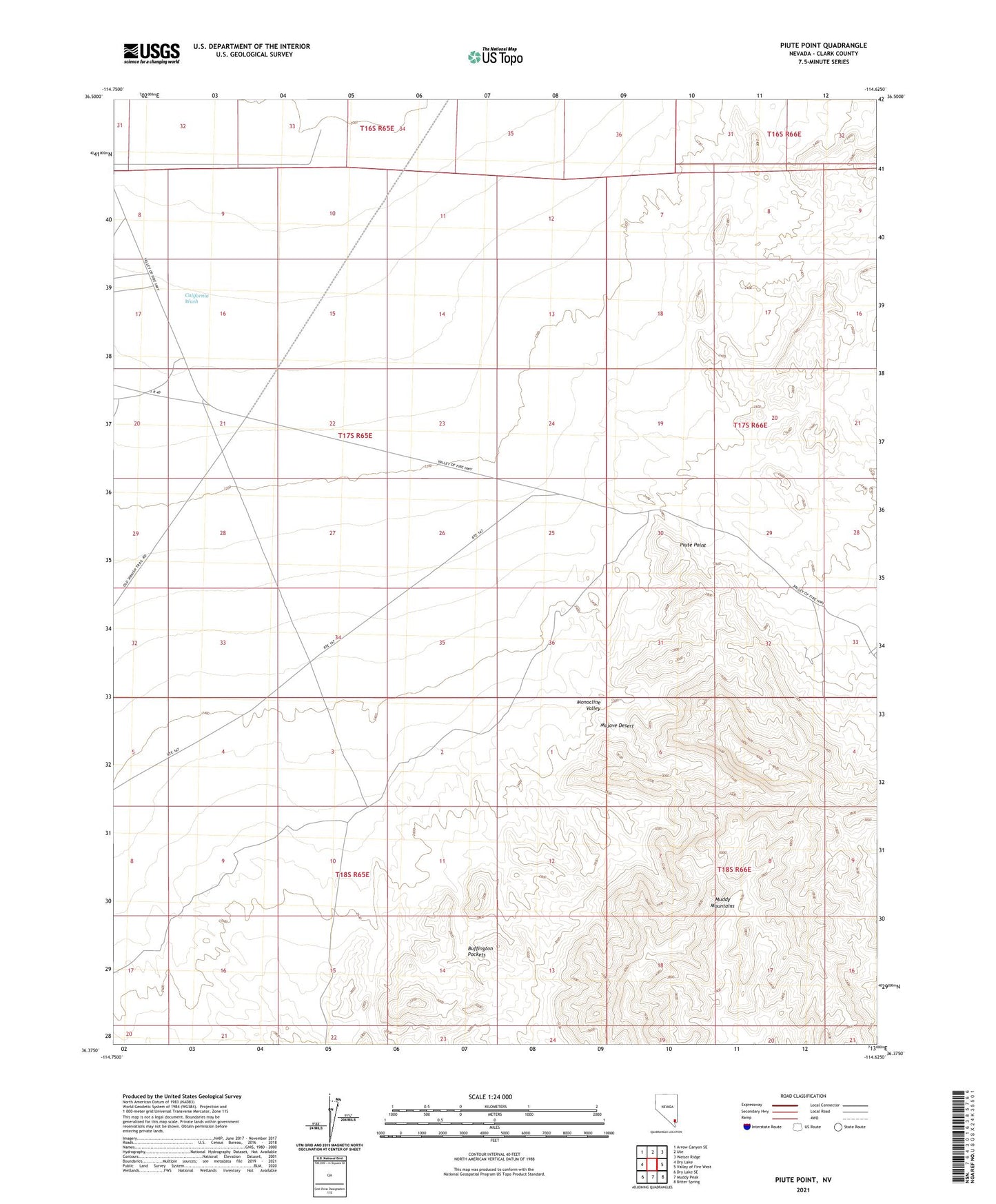
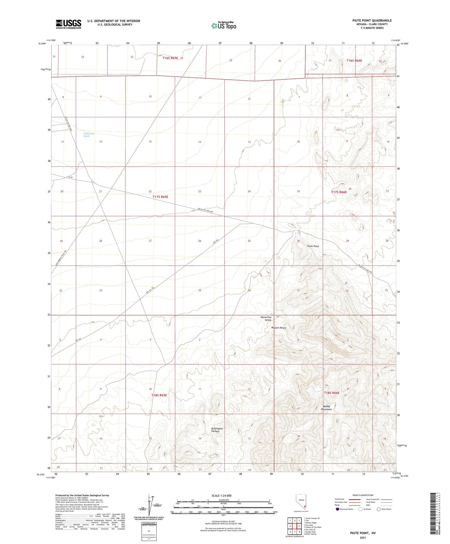
2021 topographic map quadrangle Piute Point in the state of Nevada. Scale: 1:24000. Based on the newly updated USGS 7.5' US Topo map series, this map is in the following counties: Clark. The map contains contour data, water features, and other items you are used to seeing on USGS maps, but also has updated roads and other features. This is the next generation of topographic maps. Printed on high-quality waterproof paper with UV fade-resistant inks.
Quads adjacent to this one:
West: Dry Lake
Northwest: Arrow Canyon SE
North: Ute
Northeast: Weiser Ridge
East: Valley of Fire West
Southeast: Bitter Spring
South: Muddy Peak
Southwest: Dry Lake SE
Contains the following named places: Buffington Pockets, Buffington Reservoir, Monocline Valley, Muddy Mountains, Piute Point, Wyatt Silica Mine