MyTopo
Bitter Spring Nevada US Topo Map
Couldn't load pickup availability
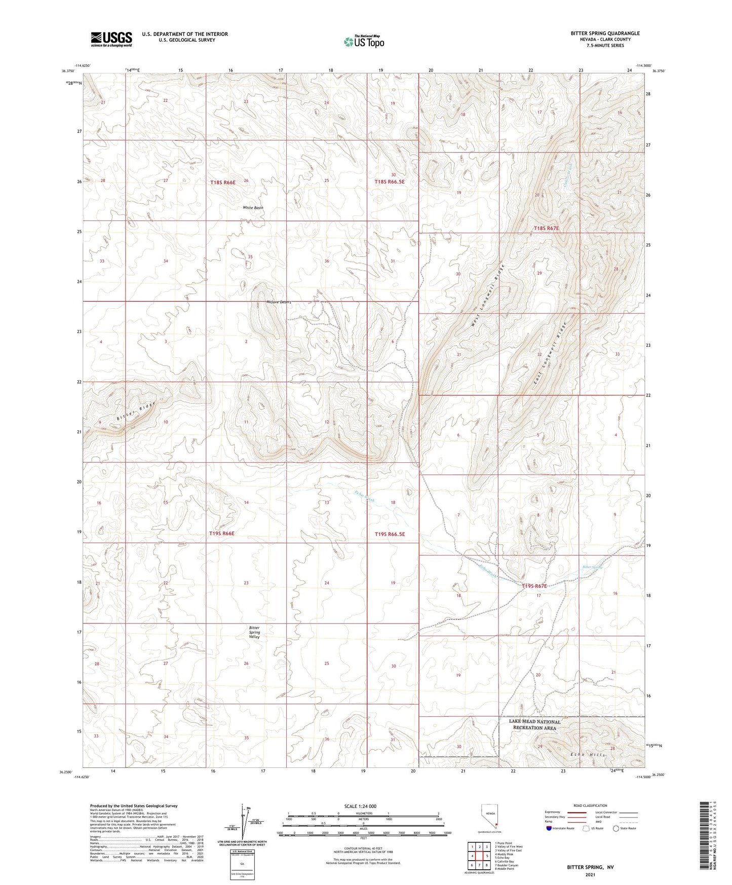
2021 topographic map quadrangle Bitter Spring in the state of Nevada. Scale: 1:24000. Based on the newly updated USGS 7.5' US Topo map series, this map is in the following counties: Clark. The map contains contour data, water features, and other items you are used to seeing on USGS maps, but also has updated roads and other features. This is the next generation of topographic maps. Printed on high-quality waterproof paper with UV fade-resistant inks.
Quads adjacent to this one:
West: Muddy Peak
Northwest: Piute Point
North: Valley of Fire West
Northeast: Valley of Fire East
East: Echo Bay
Southeast: Middle Point
South: Boulder Canyon
Southwest: Callville Bay
This map covers the same area as the classic USGS quad with code o36114c5.
Contains the following named places: American Borax Company Mines, Bitter Spring, East Longwell Ridge, Echo Hills, West Longwell Ridge, White Basin, ZIP Code: 89040