MyTopo
Railroad Pass Nevada US Topo Map
Couldn't load pickup availability
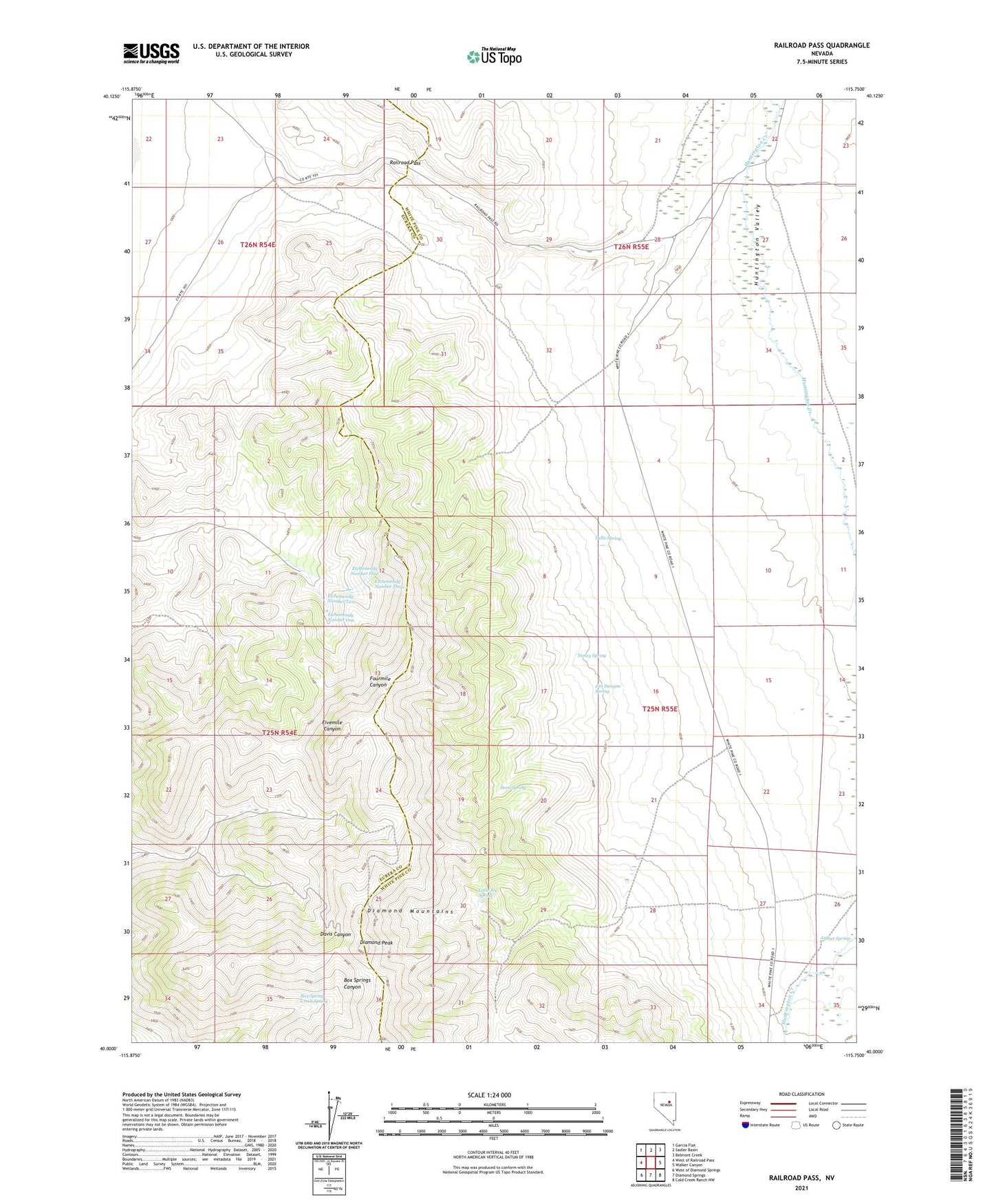
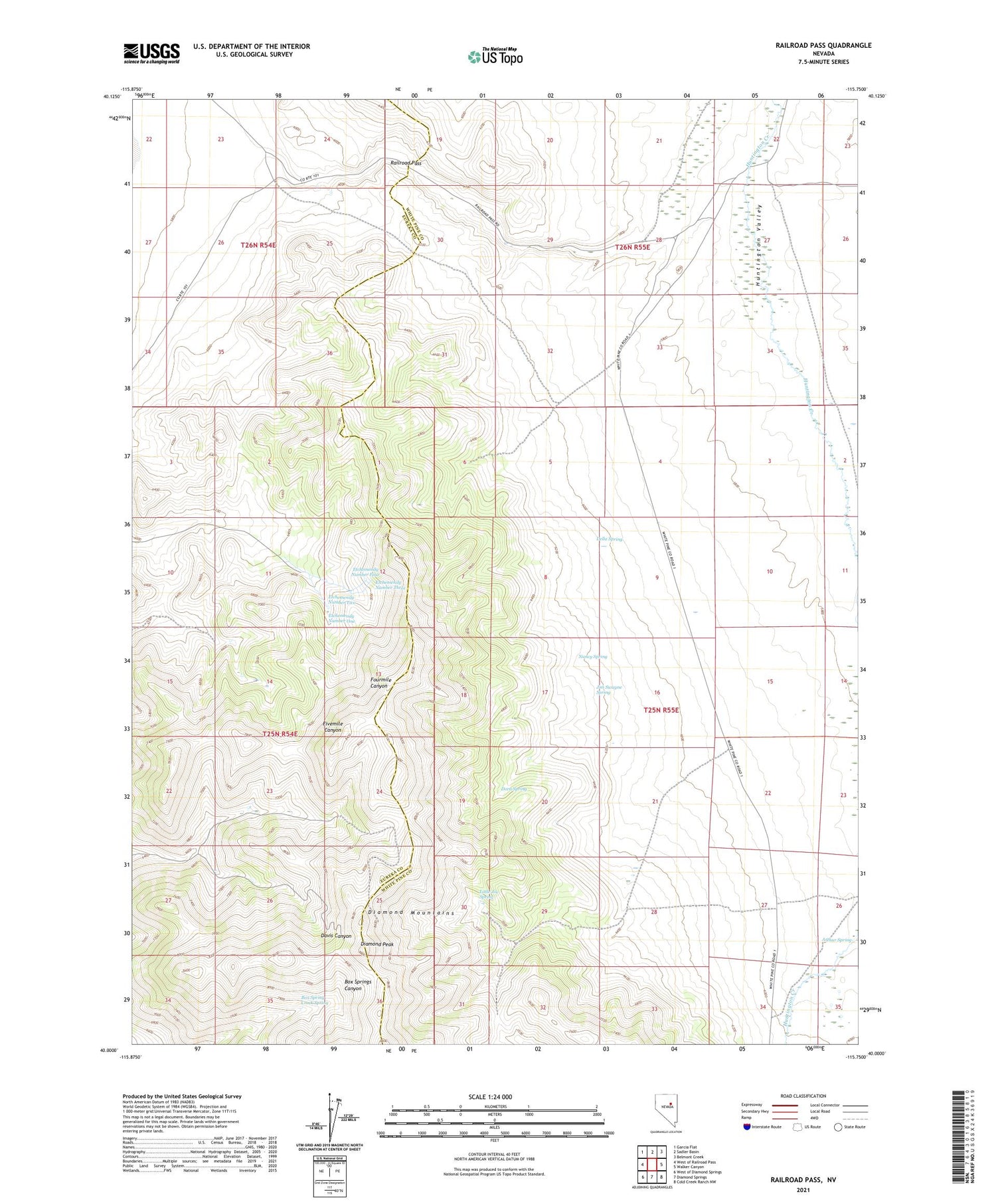
2021 topographic map quadrangle Railroad Pass in the state of Nevada. Scale: 1:24000. Based on the newly updated USGS 7.5' US Topo map series, this map is in the following counties: White Pine, Eureka. The map contains contour data, water features, and other items you are used to seeing on USGS maps, but also has updated roads and other features. This is the next generation of topographic maps. Printed on high-quality waterproof paper with UV fade-resistant inks.
Quads adjacent to this one:
West: West of Railroad Pass
Northwest: Garcia Flat
North: Sadler Basin
Northeast: Belmont Creek
East: Walker Canyon
Southeast: Cold Creek Ranch NW
South: Diamond Springs
Southwest: West of Diamond Springs
Contains the following named places: Arthur Spring, Baalman Ranch, Box Spring Creek Spring, Concord Mine, Della Spring, Diamond Mine, Diamond Peak, Dora Spring, Etchemendy Number Four, Etchemendy Number One, Etchemendy Number Three, Etchemendy Number Two, Garcia Mine, Jim Swayne Spring, Little Joe Spring, Mulligan Mine, Nancy Spring, Railroad Pass