MyTopo
Rhyolite Ridge NW Nevada US Topo Map
Couldn't load pickup availability
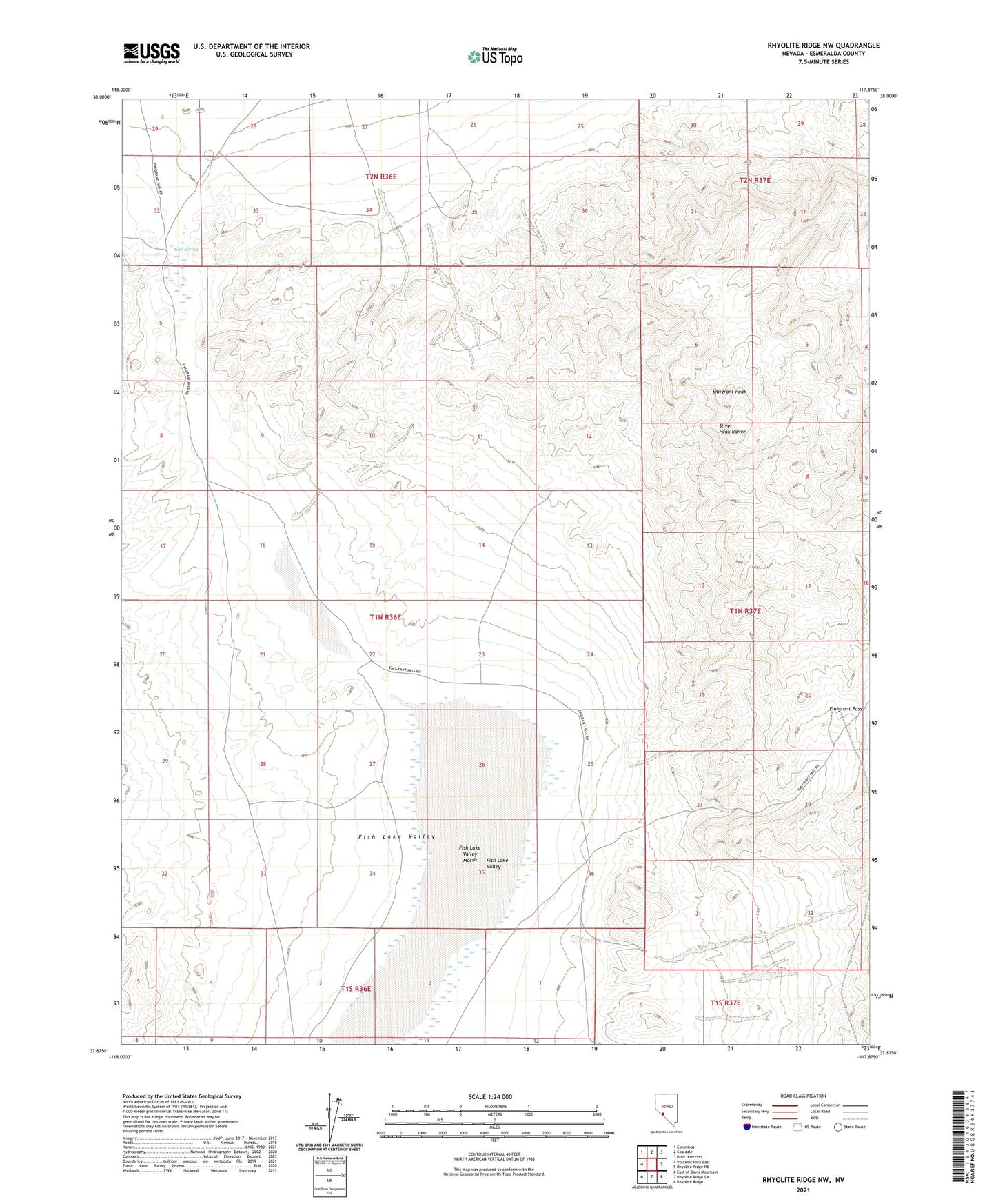
2021 topographic map quadrangle Rhyolite Ridge NW in the state of Nevada. Scale: 1:24000. Based on the newly updated USGS 7.5' US Topo map series, this map is in the following counties: Esmeralda. The map contains contour data, water features, and other items you are used to seeing on USGS maps, but also has updated roads and other features. This is the next generation of topographic maps. Printed on high-quality waterproof paper with UV fade-resistant inks.
Quads adjacent to this one:
West: Volcanic Hills East
Northwest: Columbus
North: Coaldale
Northeast: Blair Junction
East: Rhyolite Ridge NE
Southeast: Rhyolite Ridge
South: Rhyolite Ridge SW
Southwest: East of Davis Mountain
Contains the following named places: Coaldale Mining District, Emigrant Pass, Emigrant Peak, Fish Lake Marsh Mining District, Fish Lake Valley, Fish Lake Valley Marsh, Gap Spring, Gap Strike Mine