MyTopo
The Cedars SW Nevada US Topo Map
Couldn't load pickup availability
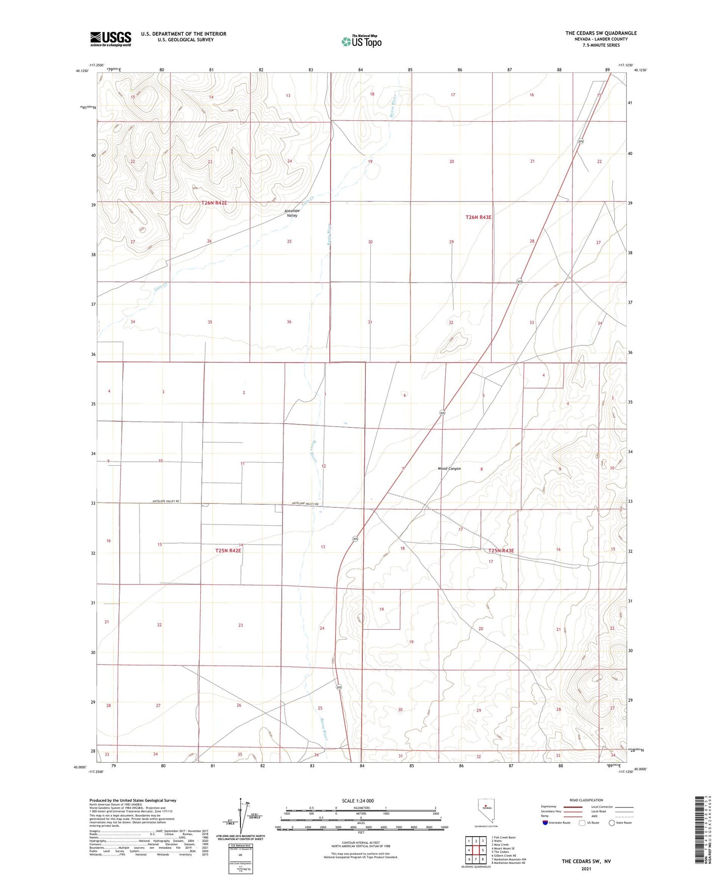
2021 topographic map quadrangle The Cedars SW in the state of Nevada. Scale: 1:24000. Based on the newly updated USGS 7.5' US Topo map series, this map is in the following counties: Lander. The map contains contour data, water features, and other items you are used to seeing on USGS maps, but also has updated roads and other features. This is the next generation of topographic maps. Printed on high-quality waterproof paper with UV fade-resistant inks.
Quads adjacent to this one:
West: Mount Moses SE
Northwest: Fish Creek Basin
North: Watts
Northeast: Moss Creek
East: The Cedars
Southeast: Manhattan Mountain NE
South: Manhattan Mountain NW
Southwest: Gilbert Creek NE
Contains the following named places: Antelope Valley, Bradleys Ranch, Bridges, Bridges Well, Cain Creek, Palo Alto Wells, Powers Ranch, Wood Canyon