MyTopo
The Cedars Nevada US Topo Map
Couldn't load pickup availability
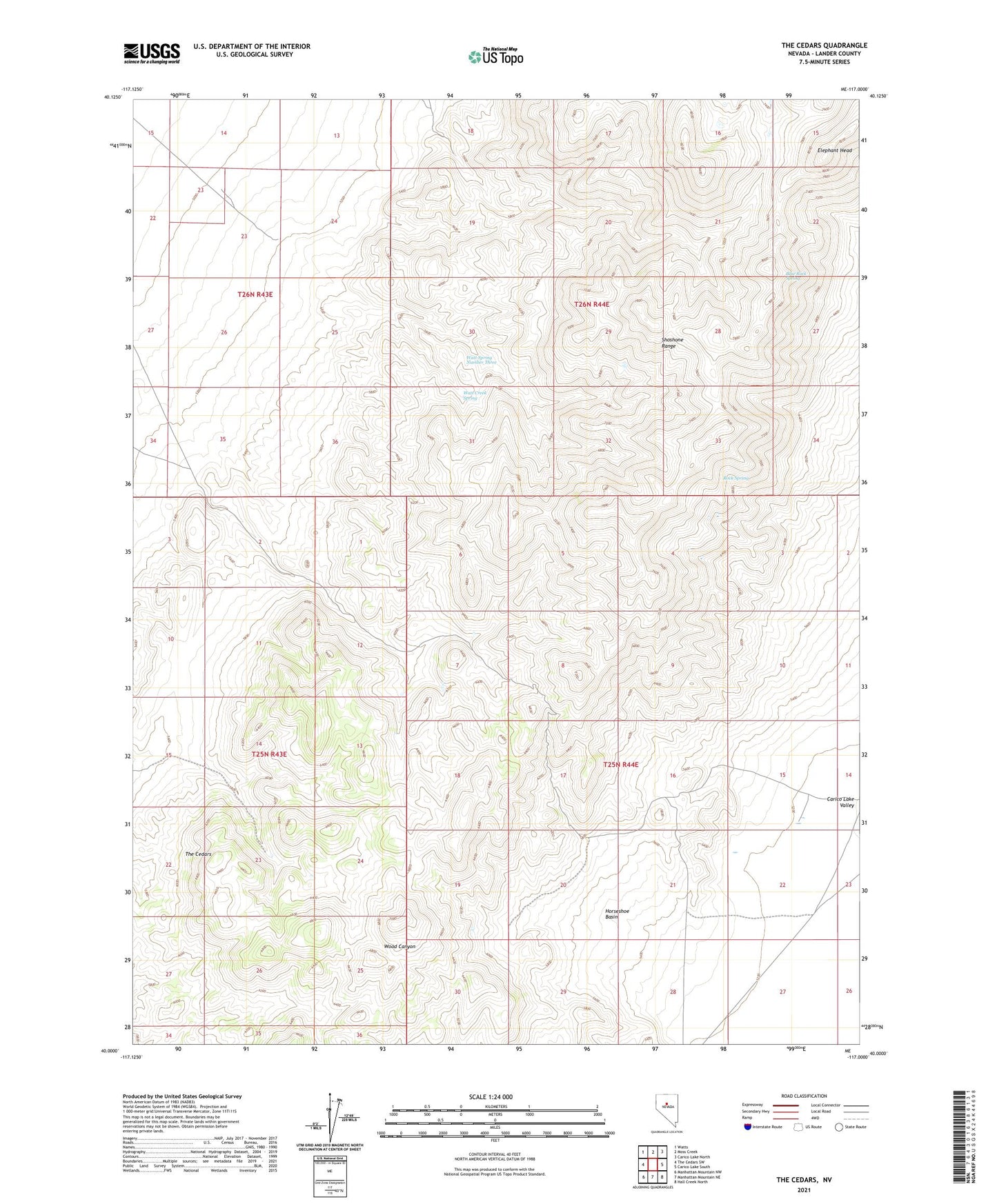
2021 topographic map quadrangle The Cedars in the state of Nevada. Scale: 1:24000. Based on the newly updated USGS 7.5' US Topo map series, this map is in the following counties: Lander. The map contains contour data, water features, and other items you are used to seeing on USGS maps, but also has updated roads and other features. This is the next generation of topographic maps. Printed on high-quality waterproof paper with UV fade-resistant inks.
Quads adjacent to this one:
West: The Cedars SW
Northwest: Watts
North: Moss Creek
Northeast: Carico Lake North
East: Carico Lake South
Southeast: Hall Creek North
South: Manhattan Mountain NE
Southwest: Manhattan Mountain NW
This map covers the same area as the classic USGS quad with code o40117a1.
Contains the following named places: Blackbird Mine, Blue Rock Spring, Elephant Head, Horseshoe Basin, Pinto Mine, Rock Spring, The Cedars, Watt Creek Spring, Watt Spring Number Three