MyTopo
Tohakum Peak NW Nevada US Topo Map
Couldn't load pickup availability
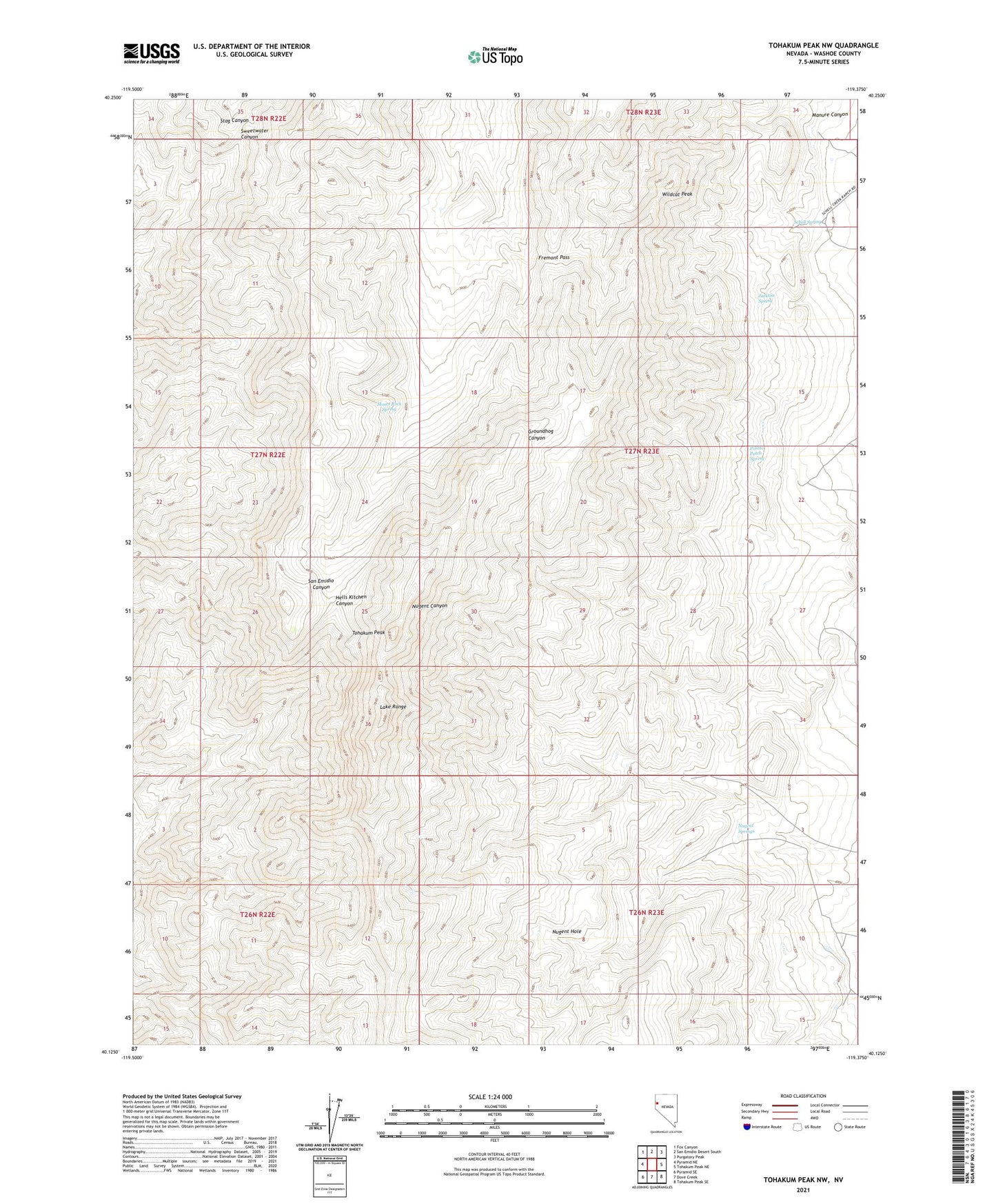
2021 topographic map quadrangle Tohakum Peak NW in the state of Nevada. Scale: 1:24000. Based on the newly updated USGS 7.5' US Topo map series, this map is in the following counties: Washoe. The map contains contour data, water features, and other items you are used to seeing on USGS maps, but also has updated roads and other features. This is the next generation of topographic maps. Printed on high-quality waterproof paper with UV fade-resistant inks.
Quads adjacent to this one:
West: Pyramid NE
Northwest: Fox Canyon
North: San Emidio Desert South
Northeast: Purgatory Peak
East: Tohakum Peak NE
Southeast: Tohakum Peak SE
South: Dove Creek
Southwest: Pyramid SE
Contains the following named places: Fremont Pass, Jackass Spring, Lake Range, Manure Canyon, Moses Rock Spring, Nugent Hole, Nugent Springs, Potato Patch Spring, Schell Spring, Tohakum Peak, Wildcat Peak