MyTopo
Tohakum Peak NE Nevada US Topo Map
Couldn't load pickup availability
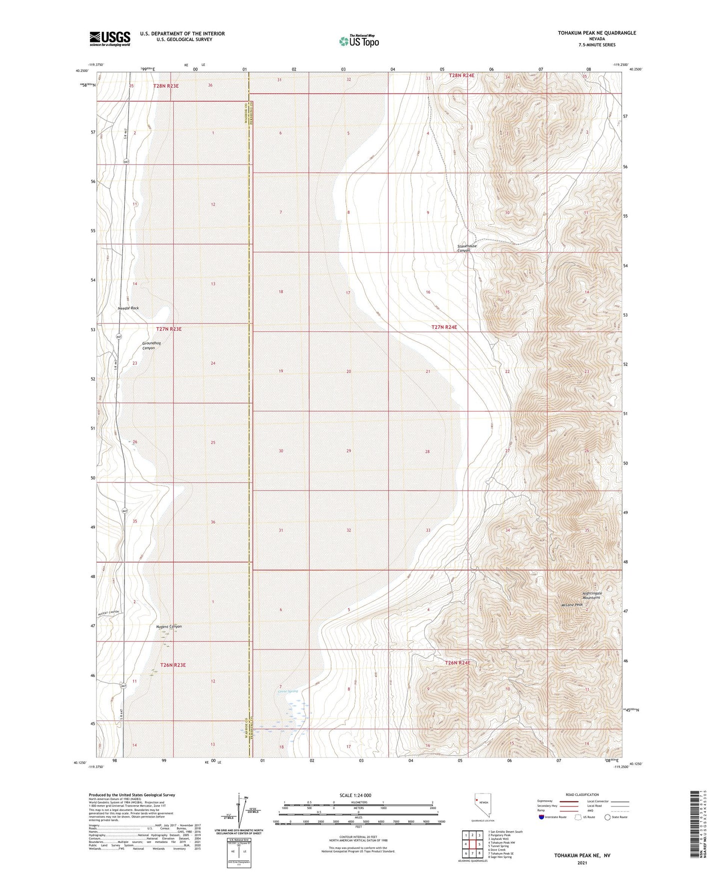
2021 topographic map quadrangle Tohakum Peak NE in the state of Nevada. Scale: 1:24000. Based on the newly updated USGS 7.5' US Topo map series, this map is in the following counties: Pershing, Washoe. The map contains contour data, water features, and other items you are used to seeing on USGS maps, but also has updated roads and other features. This is the next generation of topographic maps. Printed on high-quality waterproof paper with UV fade-resistant inks.
Quads adjacent to this one:
West: Tohakum Peak NW
Northwest: San Emidio Desert South
North: Purgatory Peak
Northeast: Jayhawk Well
East: Tunnel Spring
Southeast: Sage Hen Spring
South: Tohakum Peak SE
Southwest: Dove Creek
This map covers the same area as the classic USGS quad with code o40119b3.
Contains the following named places: Goose Spring, Groundhog Canyon, McLane Peak, Needle Rock, Nugent Canyon, Stone Corral, Stonehouse Canyon, Winnemucca National Wildlife Refuge