
MyTopo
Wagner Springs Nevada US Topo Map
Couldn't load pickup availability
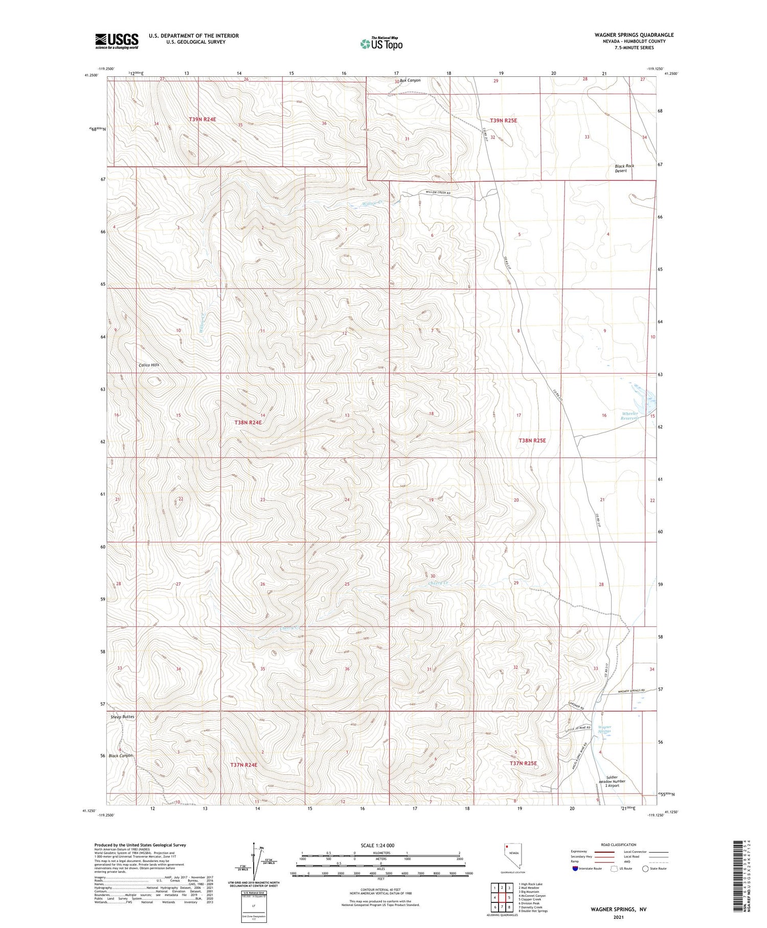
2021 topographic map quadrangle Wagner Springs in the state of Nevada. Scale: 1:24000. Based on the newly updated USGS 7.5' US Topo map series, this map is in the following counties: Humboldt. The map contains contour data, water features, and other items you are used to seeing on USGS maps, but also has updated roads and other features. This is the next generation of topographic maps. Printed on high-quality waterproof paper with UV fade-resistant inks.
Quads adjacent to this one:
West: McConnel Canyon
Northwest: High Rock Lake
North: Mud Meadow
Northeast: Big Mountain
East: Clapper Creek
Southeast: Double Hot Springs
South: Donnelly Creek
Southwest: Division Peak
Contains the following named places: Calico Hills, Cherry Creek, High Rock Lake Wilderness, Little Joe Opal Mine, Wagner Springs, Wheeler Reservoir, Willow Creek


