MyTopo
White Plains Nevada US Topo Map
Couldn't load pickup availability
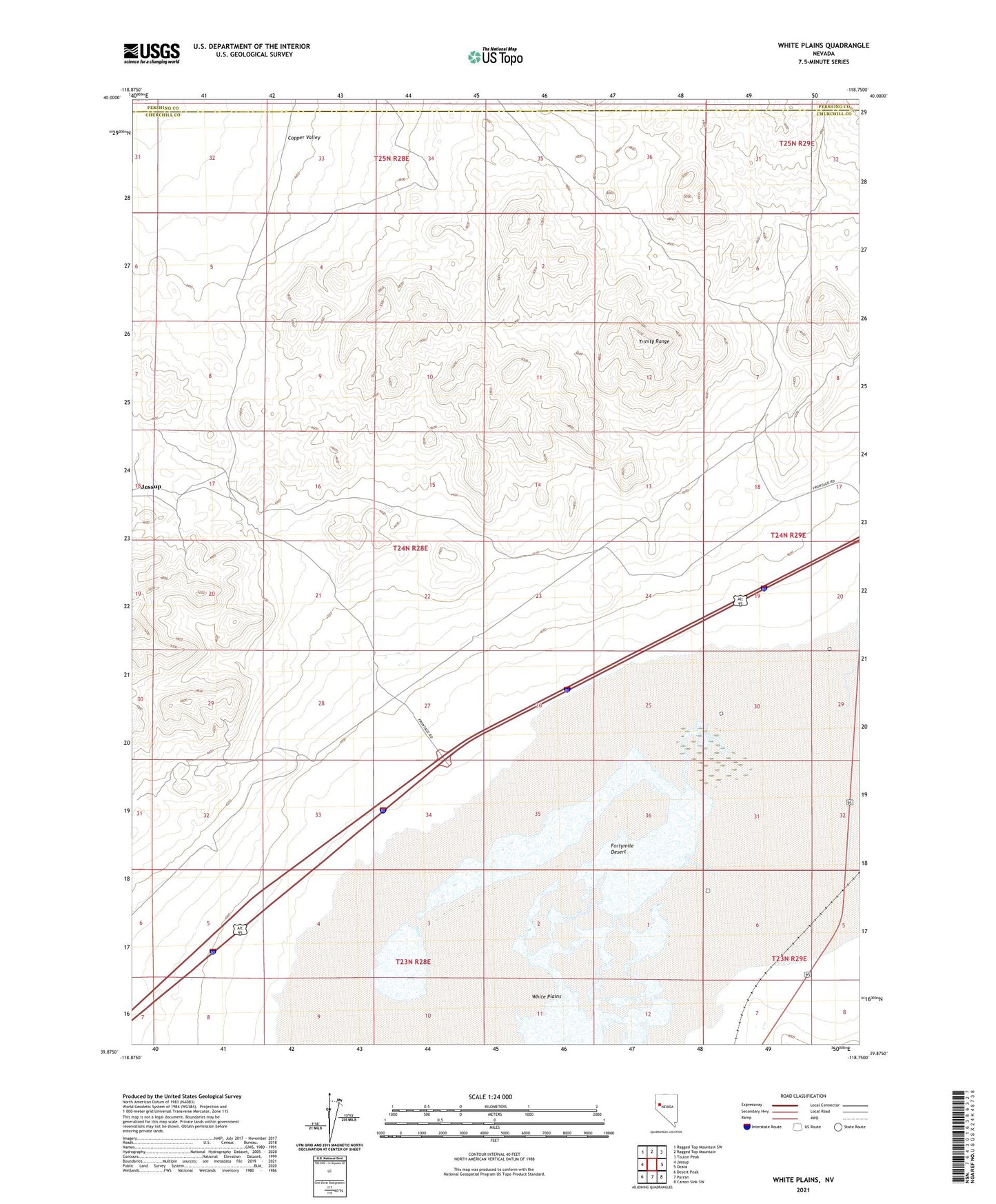
2021 topographic map quadrangle White Plains in the state of Nevada. Scale: 1:24000. Based on the newly updated USGS 7.5' US Topo map series, this map is in the following counties: Churchill, Pershing. The map contains contour data, water features, and other items you are used to seeing on USGS maps, but also has updated roads and other features. This is the next generation of topographic maps. Printed on high-quality waterproof paper with UV fade-resistant inks.
Quads adjacent to this one:
West: Jessup
Northwest: Ragged Top Mountain SW
North: Ragged Top Mountain
Northeast: Toulon Peak
East: Ocala
Southeast: Carson Sink SW
South: Parran
Southwest: Desert Peak
Contains the following named places: Central Jessup District Mining Area, Copper Queen Mine, Desert Crystal Salt Works, Hard to Find Mine, Humboldt Double Wells, Jessup, Jessup Post Office, White Canyon, White Plains, White Plains Flat Mining District, White Plains Post Office