MyTopo
Blue Hole New Mexico US Topo Map
Couldn't load pickup availability
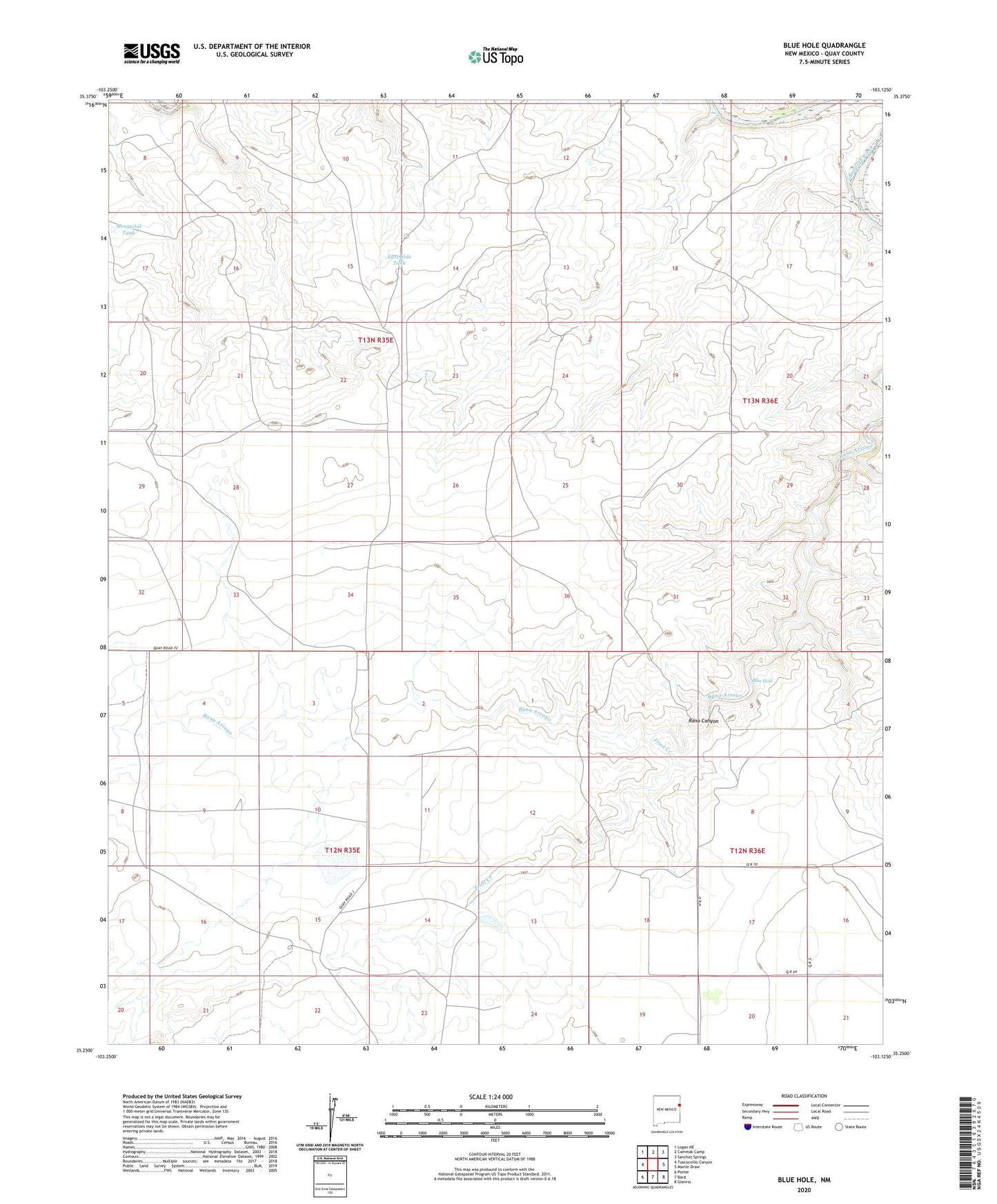
2020 topographic map quadrangle Blue Hole in the state of New Mexico. Scale: 1:24000. Based on the newly updated USGS 7.5' US Topo map series, this map is in the following counties: Quay. The map contains contour data, water features, and other items you are used to seeing on USGS maps, but also has updated roads and other features. This is the next generation of topographic maps. Printed on high-quality waterproof paper with UV fade-resistant inks.
Quads adjacent to this one:
West: Tuscocoillo Canyon
Northwest: Logan NE
North: Cammak Camp
East: Martin Draw
Southeast: Glenrio
South: Bard
Southwest: Porter
Contains the following named places: 05407 Water Well, 05411 Water Well, 05412 Water Well, 05413 Water Well, 05426 Water Well, 05427 Water Well, 05428 Water Well, 05433 Water Well, 05516 Water Well, 05517 Water Well, 05519 Water Well, 05520 Water Well, 05523 Water Well, 05525 Water Well, 05527 Water Well, 05528 Water Well, 05529 Water Well, Blue Hole, Collins Ranch, Cooper-Trew Ranch, Dourgherty, East Side Tank, Frost Creek, Granny Windmill, Ivory Windmill, Johnson Windmill, Lackey Windmill, Long Place Windmill, Mesquital Tank, Middle Windmill, New Windmill, Northwest Windmill, Pharis, Sand Windmill, Second Trap Windmill, Shaffer Windmill, Southwest Windmill