MyTopo
Bluit New Mexico US Topo Map
Couldn't load pickup availability
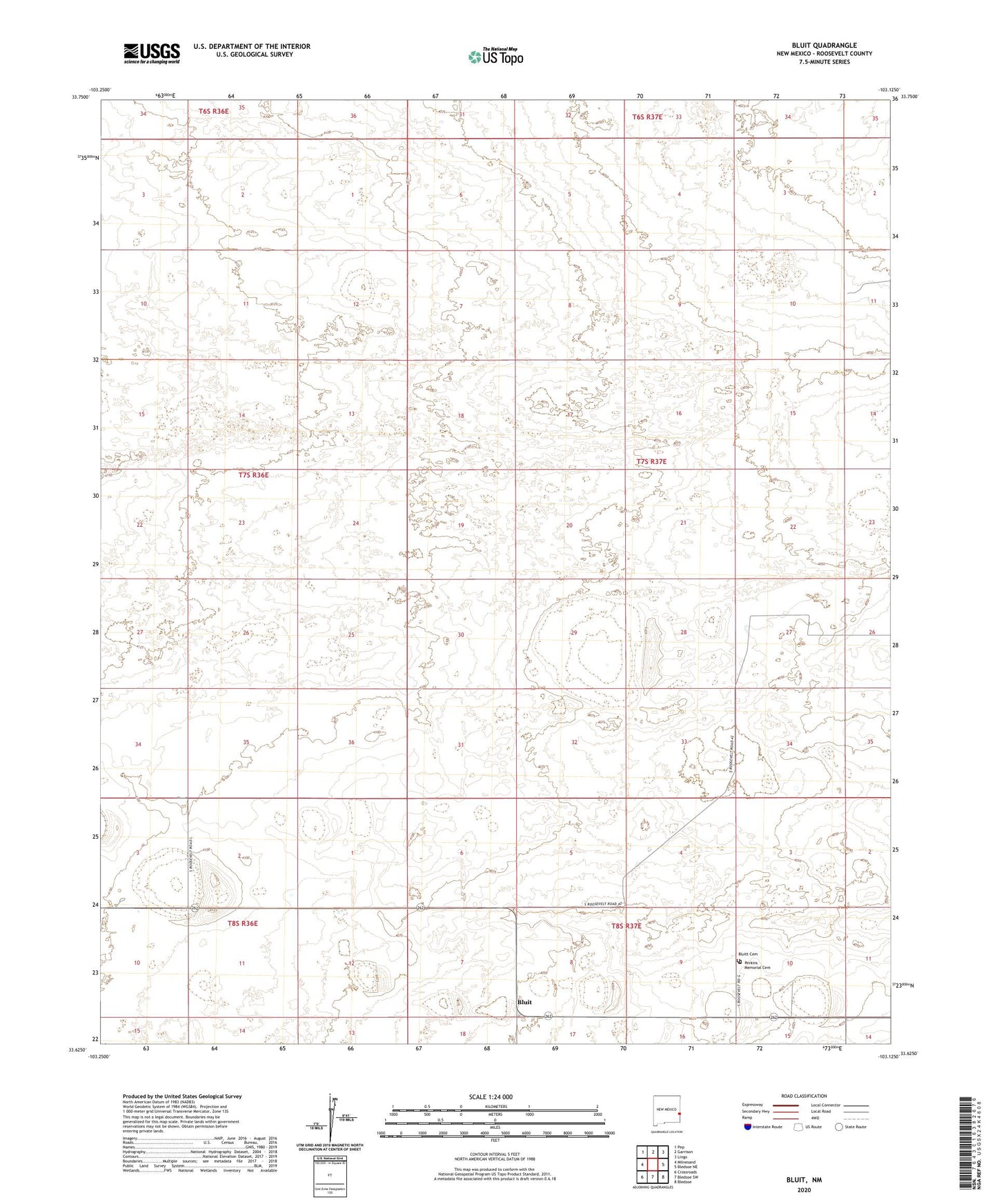
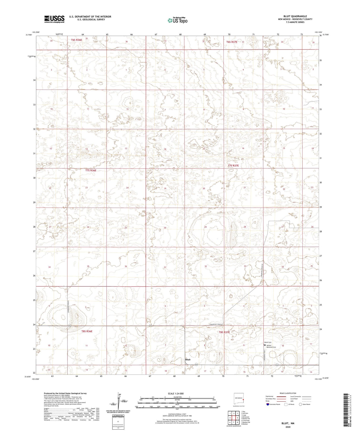
2020 topographic map quadrangle Bluit in the state of New Mexico. Scale: 1:24000. Based on the newly updated USGS 7.5' US Topo map series, this map is in the following counties: Roosevelt. The map contains contour data, water features, and other items you are used to seeing on USGS maps, but also has updated roads and other features. This is the next generation of topographic maps. Printed on high-quality waterproof paper with UV fade-resistant inks.
Quads adjacent to this one:
West: Milnesand
Northwest: Pep
North: Garrison
Northeast: Lingo
East: Bledsoe NE
South: Bledsoe SW
Southwest: Crossroads
Contains the following named places: 11523 Water Well, 11525 Water Well, 11526 Water Well, 11527 Water Well, 11528 Water Well, 11529 Water Well, 11531 Water Well, 11532 Water Well, 12561 Water Well, 12562 Water Well, 12563 Water Well, 12564 Water Well, 12565 Water Well, 12566 Water Well, 12568 Water Well, 12569 Water Well, 12570 Water Well, 12580 Water Well, 12581 Water Well, 12582 Water Well, 12583 Water Well, 12602 Water Well, 12605 Water Well, 12614 Water Well, 12615 Water Well, 12616 Water Well, 12617 Water Well, 12618 Water Well, 12622 Water Well, 12623 Water Well, 12692 Water Well, 88125, Bluit, Bluitt Cemetery, Bluitt Post Office, Perkins Memorial Cemetery