MyTopo
Burro Lake New Mexico US Topo Map
Couldn't load pickup availability
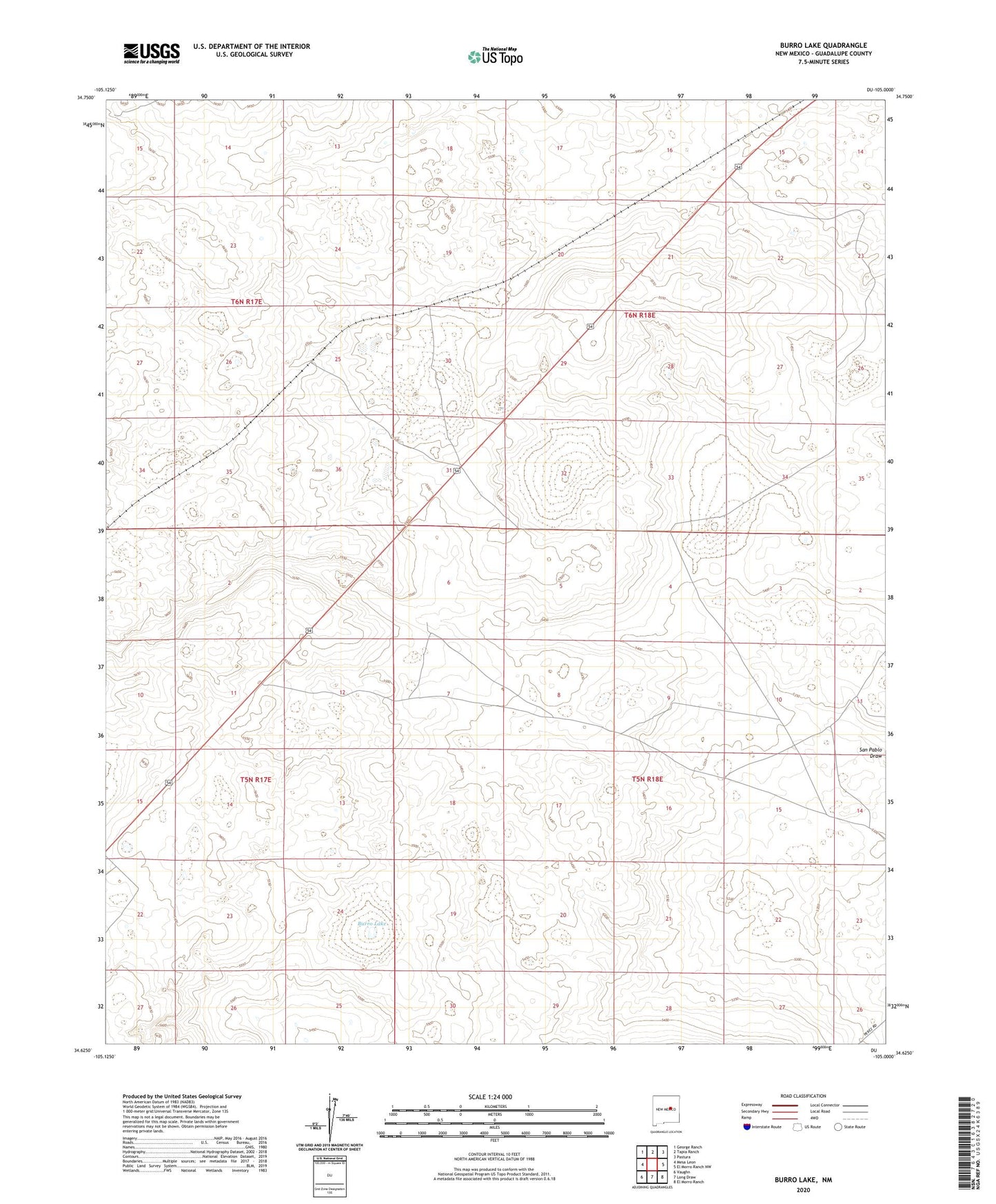
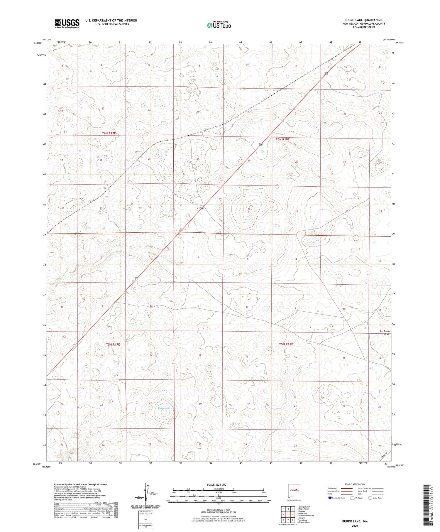
2020 topographic map quadrangle Burro Lake in the state of New Mexico. Scale: 1:24000. Based on the newly updated USGS 7.5' US Topo map series, this map is in the following counties: Guadalupe. The map contains contour data, water features, and other items you are used to seeing on USGS maps, but also has updated roads and other features. This is the next generation of topographic maps. Printed on high-quality waterproof paper with UV fade-resistant inks.
Quads adjacent to this one:
West: Mesa Leon
Northwest: George Ranch
North: Tapia Ranch
Northeast: Pastura
East: El Morro Ranch NW
Southeast: El Morro Ranch
South: Long Draw
Southwest: Vaughn
Contains the following named places: Block Windmill, Burro Lake, North Winkle Windmill, San Pablo Windmill, Twin Wells, Vaughn Division, Winkle Windmill