MyTopo
El Morro Ranch New Mexico US Topo Map
Couldn't load pickup availability
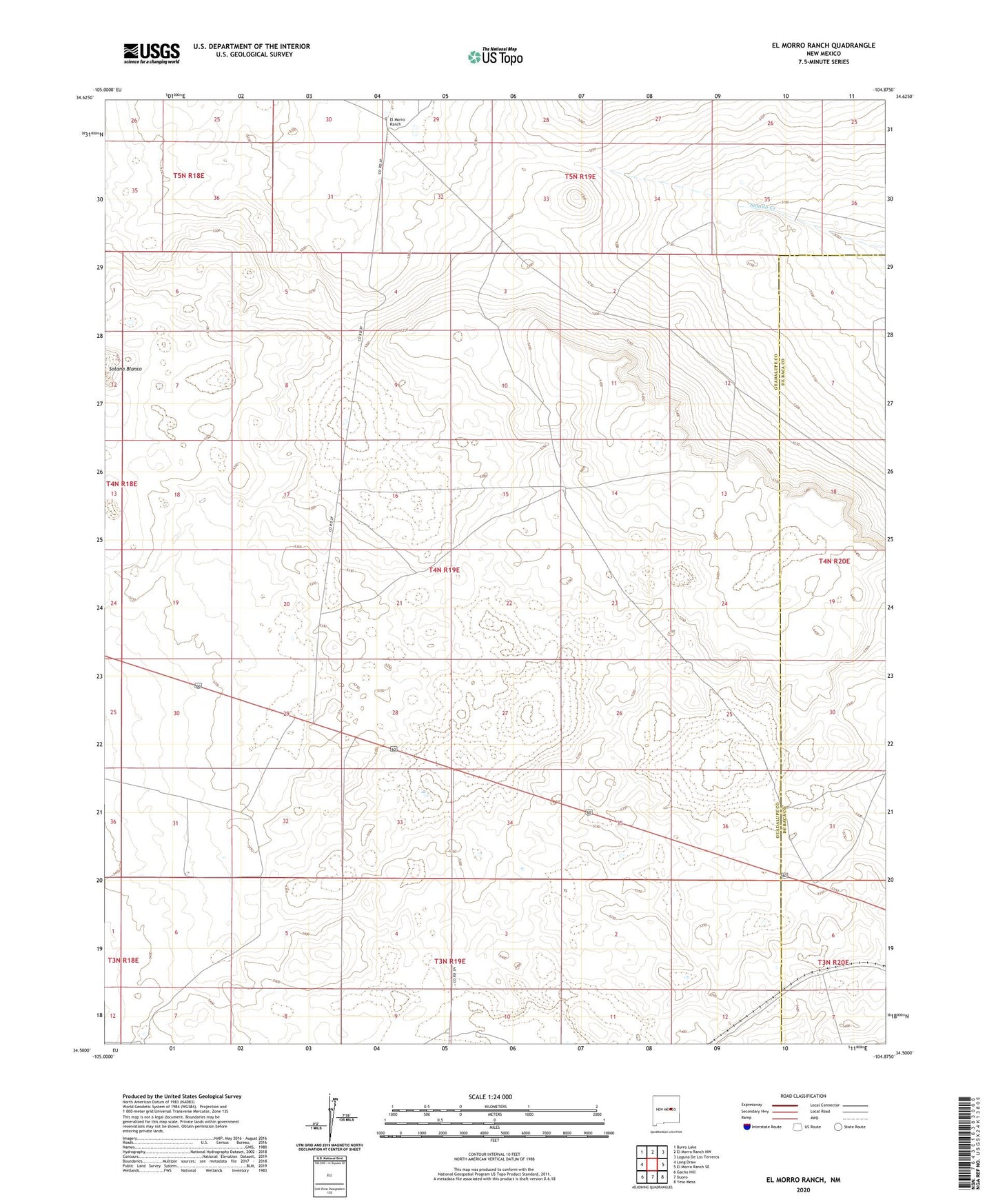
2023 topographic map quadrangle El Morro Ranch in the state of New Mexico. Scale: 1:24000. Based on the newly updated USGS 7.5' US Topo map series, this map is in the following counties: Guadalupe, De Baca. The map contains contour data, water features, and other items you are used to seeing on USGS maps, but also has updated roads and other features. This is the next generation of topographic maps. Printed on high-quality waterproof paper with UV fade-resistant inks.
Quads adjacent to this one:
West: Long Draw
Northwest: Burro Lake
North: El Morro Ranch NW
Northeast: Laguna De Los Terreros
East: El Morro Ranch SE
Southeast: Yeso Mesa
South: Duoro
Southwest: Gacho Hill
This map covers the same area as the classic USGS quad with code o34104e8.
Contains the following named places: El Morro Ranch