MyTopo
Cabra Hill New Mexico US Topo Map
Couldn't load pickup availability
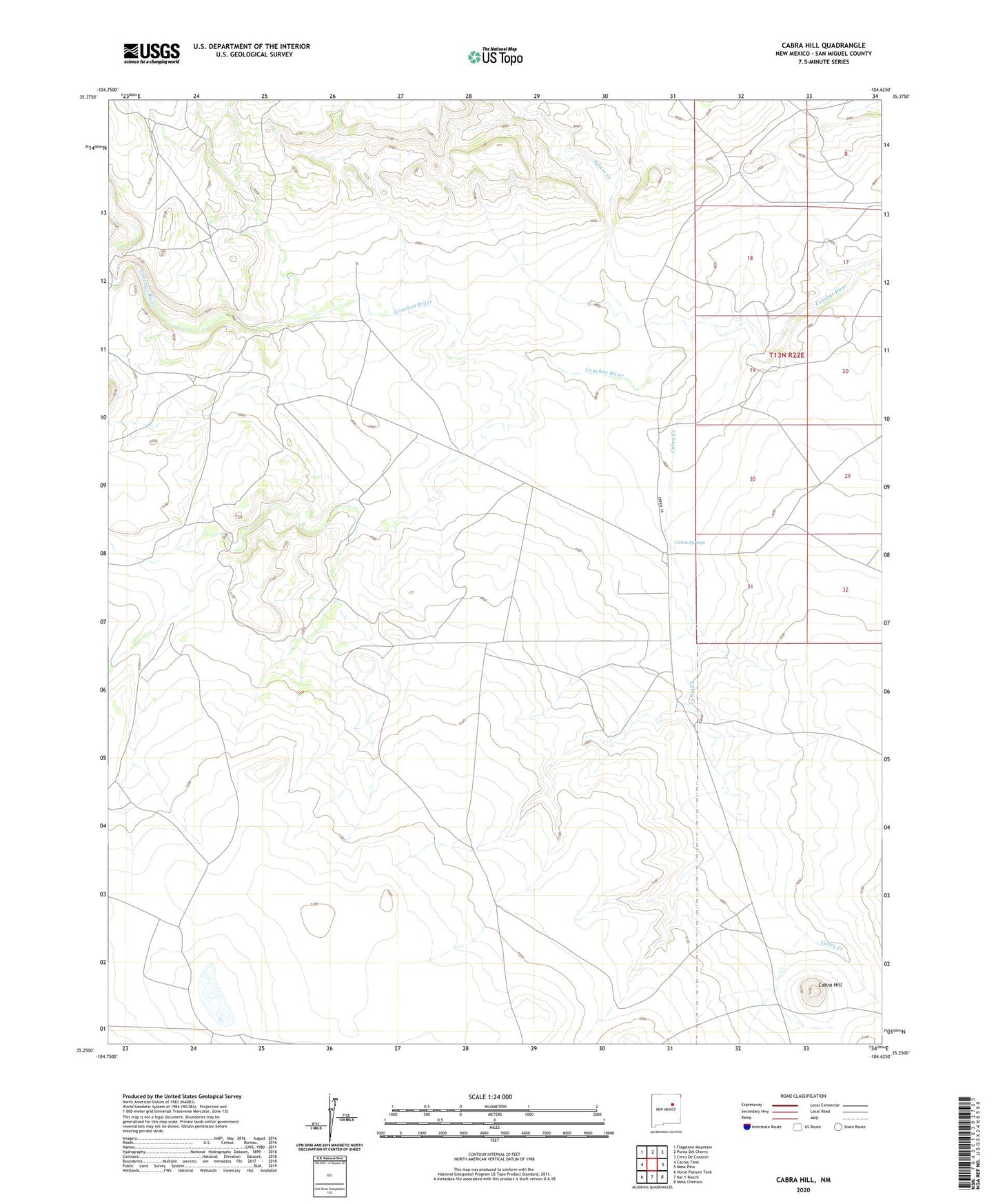
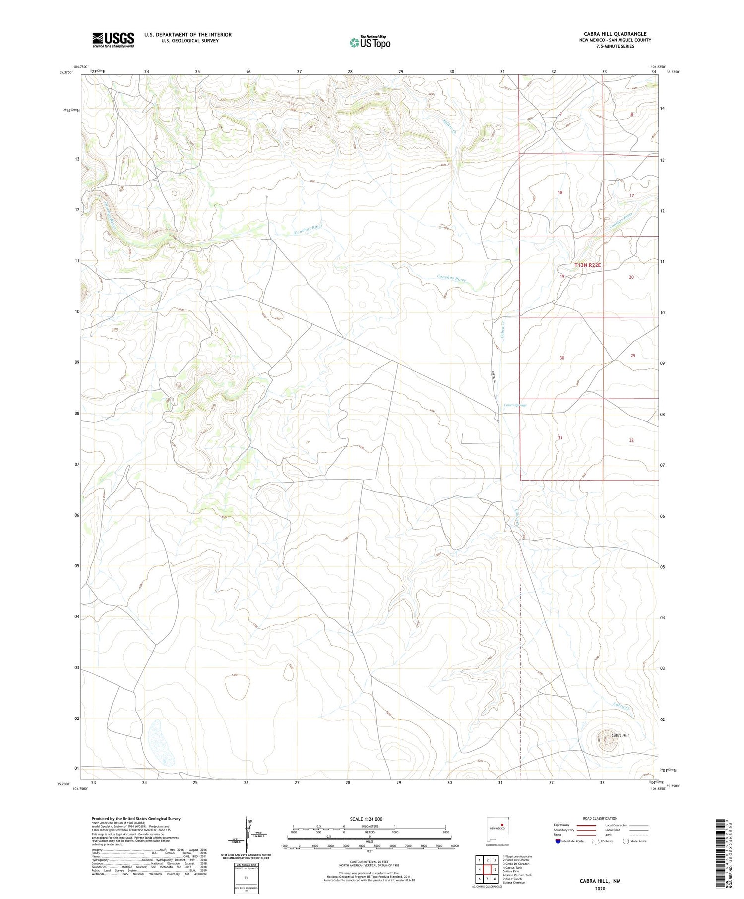
2020 topographic map quadrangle Cabra Hill in the state of New Mexico. Scale: 1:24000. Based on the newly updated USGS 7.5' US Topo map series, this map is in the following counties: San Miguel. The map contains contour data, water features, and other items you are used to seeing on USGS maps, but also has updated roads and other features. This is the next generation of topographic maps. Printed on high-quality waterproof paper with UV fade-resistant inks.
Quads adjacent to this one:
West: Cactus Tank
Northwest: Flagstone Mountain
North: Punta Del Chorro
Northeast: Cerro De Corazon
East: Mesa Pino
Southeast: Mesa Cherisco
South: Bar Y Ranch
Southwest: Horse Pasture Tank
Contains the following named places: Cabra Creek, Cabra Hill, Cabra Springs, Cabra Springs Post Office, Cabra Springs Ranch, Conchas Ranch, Conchas Ranch Headquarters, Salitre, Salitre Creek