MyTopo
Cactus Tank New Mexico US Topo Map
Couldn't load pickup availability
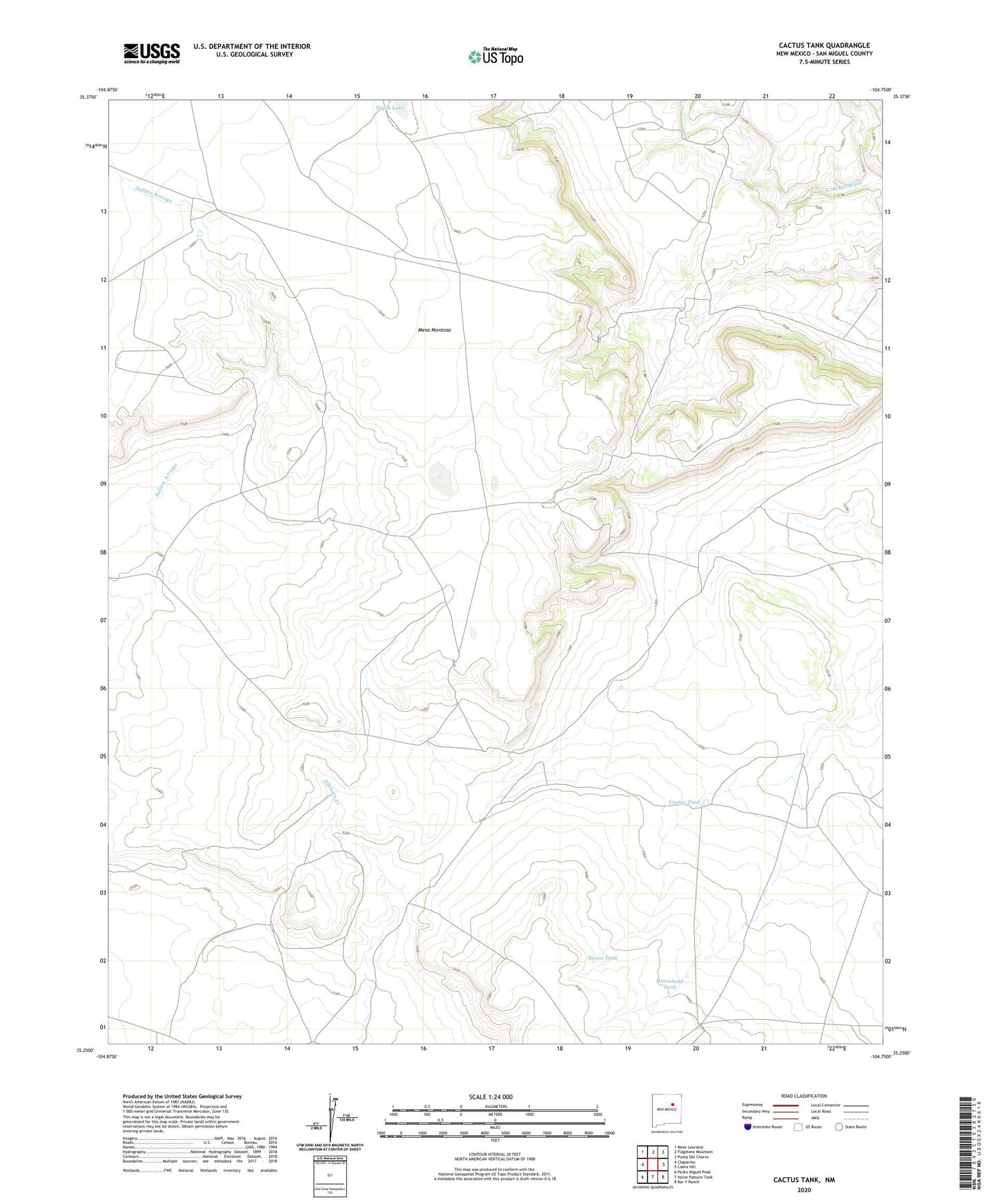
2023 topographic map quadrangle Cactus Tank in the state of New Mexico. Scale: 1:24000. Based on the newly updated USGS 7.5' US Topo map series, this map is in the following counties: San Miguel. The map contains contour data, water features, and other items you are used to seeing on USGS maps, but also has updated roads and other features. This is the next generation of topographic maps. Printed on high-quality waterproof paper with UV fade-resistant inks.
Quads adjacent to this one:
West: Chaperito
Northwest: Mesa Lauriano
North: Flagstone Mountain
Northeast: Punta Del Chorro
East: Cabra Hill
Southeast: Bar Y Ranch
South: Horse Pasture Tank
Southwest: Pedro Miguel Peak
This map covers the same area as the classic USGS quad with code o35104c7.
Contains the following named places: Big Red Windmill, Cactus Tank, Horse Head Tank, Horsehead Tank, Mesa Montosa East Point Mine, Montosa, Nafas Lake, Saxon Tank