MyTopo
Claunch New Mexico US Topo Map
Couldn't load pickup availability
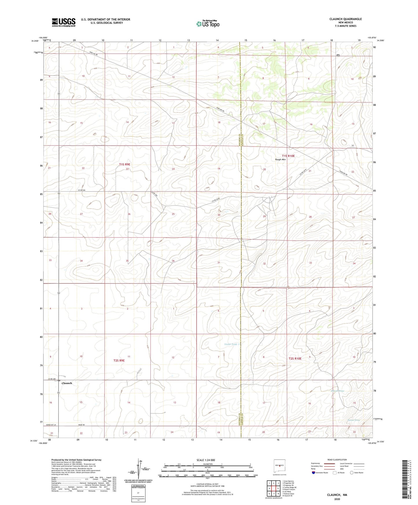
2020 topographic map quadrangle Claunch in the state of New Mexico. Scale: 1:24000. Based on the newly updated USGS 7.5' US Topo map series, this map is in the following counties: Socorro, Lincoln. The map contains contour data, water features, and other items you are used to seeing on USGS maps, but also has updated roads and other features. This is the next generation of topographic maps. Printed on high-quality waterproof paper with UV fade-resistant inks.
Quads adjacent to this one:
West: Turkey Ridge NE
Northwest: Gran Quivira
North: Progresso SW
Northeast: Progresso SE
East: Pajaro Canyon
Southeast: Claunch SE
South: Polecat Draw
Southwest: Cat Mesa
Contains the following named places: Claunch, Claunch Post Office, Crabtree Tank, Dean Ranch, Maxine Tank, Rough Mountain, Victor Tank, Wieland Ranch