MyTopo
Dora NW New Mexico US Topo Map
Couldn't load pickup availability
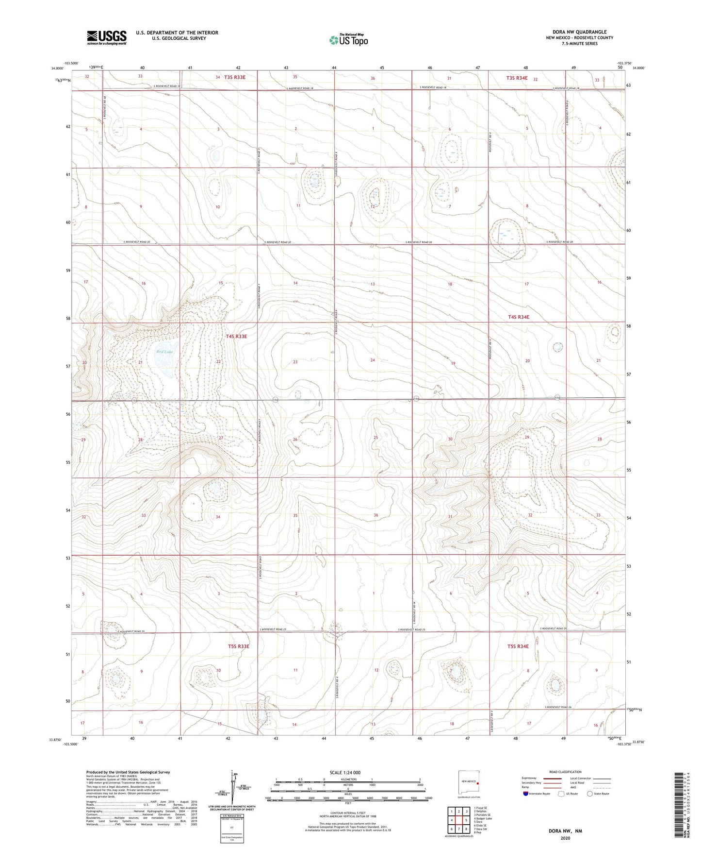
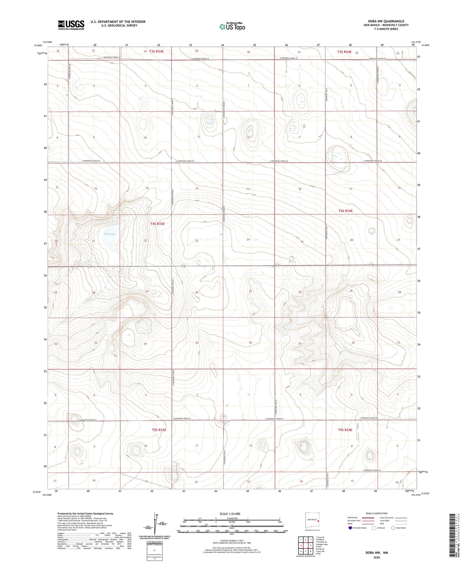
2020 topographic map quadrangle Dora NW in the state of New Mexico. Scale: 1:24000. Based on the newly updated USGS 7.5' US Topo map series, this map is in the following counties: Roosevelt. The map contains contour data, water features, and other items you are used to seeing on USGS maps, but also has updated roads and other features. This is the next generation of topographic maps. Printed on high-quality waterproof paper with UV fade-resistant inks.
Quads adjacent to this one:
West: Badger Lake
Northwest: Floyd SE
North: Delphos
Northeast: Portales SE
East: Dora
Southeast: Pep
South: Dora SW
Southwest: Elida SE
Contains the following named places: 06085 Water Well, 06086 Water Well, 06087 Water Well, 06138 Water Well, 06139 Water Well, 06142 Water Well, 06144 Water Well, 11067 Water Well, 11068 Water Well, 11073 Water Well, 11074 Water Well, 11080 Water Well, 11081 Water Well, 11082 Water Well, 11095 Water Well, 11097 Water Well, 11198 Water Well, 11202 Water Well, 11203 Water Well, 11204 Water Well, 11205 Water Well, 11206 Water Well, Red Lake