MyTopo
Dora SW New Mexico US Topo Map
Couldn't load pickup availability
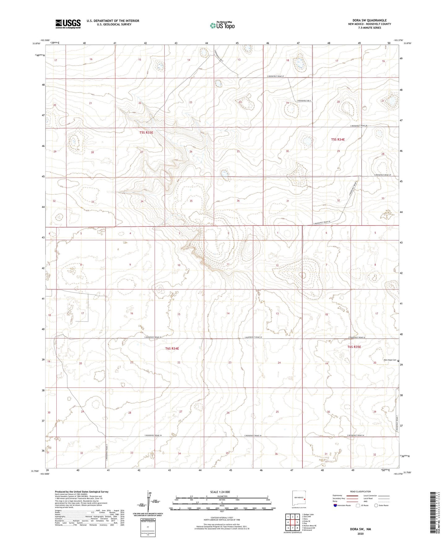
2023 topographic map quadrangle Dora SW in the state of New Mexico. Scale: 1:24000. Based on the newly updated USGS 7.5' US Topo map series, this map is in the following counties: Roosevelt. The map contains contour data, water features, and other items you are used to seeing on USGS maps, but also has updated roads and other features. This is the next generation of topographic maps. Printed on high-quality waterproof paper with UV fade-resistant inks.
Quads adjacent to this one:
West: Elida SE
Northwest: Badger Lake
North: Dora NW
Northeast: Dora
East: Pep
Southeast: Milnesand
South: Milnesand NW
Southwest: Button Mesa NE
This map covers the same area as the classic USGS quad with code o33103g4.
Contains the following named places: 06101 Water Well, 06143 Water Well, 06149 Water Well, 06150 Water Well, 06188 Water Well, 06189 Water Well, 11199 Water Well, 11200 Water Well, 11211 Water Well, 11212 Water Well, 11213 Water Well, 11214 Water Well, 11215 Water Well, 11223 Water Well, 11226 Water Well, 11378 Water Well, 11379 Water Well, 11380 Water Well, 11381 Water Well, 11393 Water Well, 11394 Water Well, 12538 Water Well, 12541 Water Well, New Hope, New Hope Cemetery