MyTopo
Fresno Canyon New Mexico US Topo Map
Couldn't load pickup availability
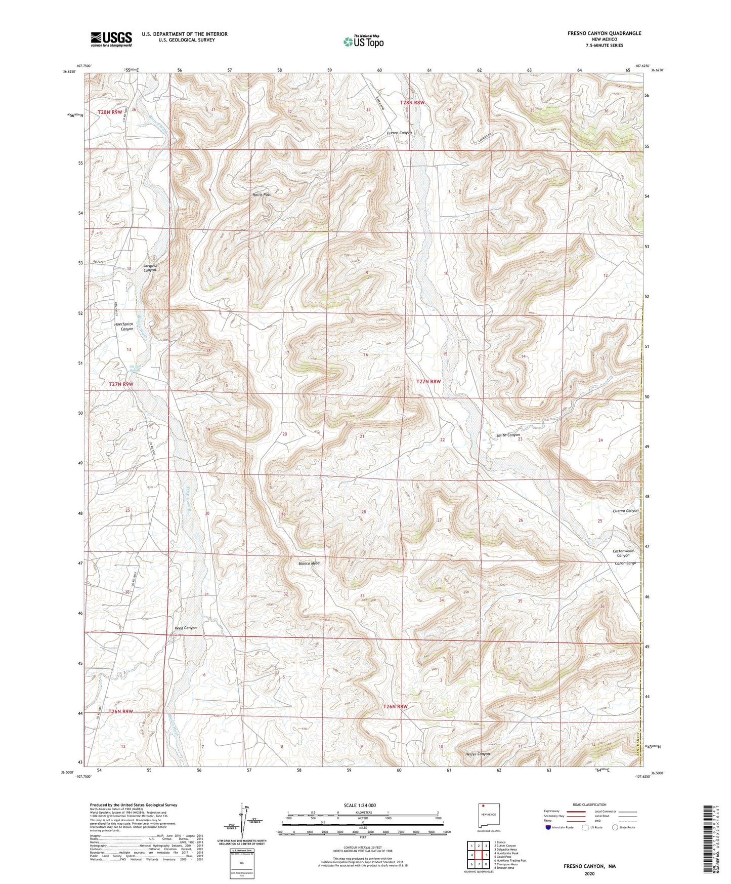
2020 topographic map quadrangle Fresno Canyon in the state of New Mexico. Scale: 1:24000. Based on the newly updated USGS 7.5' US Topo map series, this map is in the following counties: San Juan, Rio Arriba. The map contains contour data, water features, and other items you are used to seeing on USGS maps, but also has updated roads and other features. This is the next generation of topographic maps. Printed on high-quality waterproof paper with UV fade-resistant inks.
Quads adjacent to this one:
West: Huerfanito Peak
Northwest: Blanco
North: Cutter Canyon
Northeast: Delgadita Mesa
East: Gould Pass
Southeast: Smouse Mesa
South: Thompson Mesa
Southwest: Huerfano Trading Post
Contains the following named places: Blanco Mesa, Cottonwood Canyon, Cuervo Canyon, Fresno Canyon, Hollis Pass, Huerfanito Canyon, Jacquez Canyon, Oil Test Spring, Reed Canyon, Smith Canyon