MyTopo
George Ranch New Mexico US Topo Map
Couldn't load pickup availability
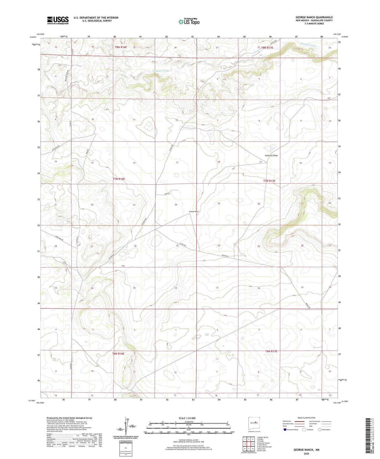
2020 topographic map quadrangle George Ranch in the state of New Mexico. Scale: 1:24000. Based on the newly updated USGS 7.5' US Topo map series, this map is in the following counties: Guadalupe. The map contains contour data, water features, and other items you are used to seeing on USGS maps, but also has updated roads and other features. This is the next generation of topographic maps. Printed on high-quality waterproof paper with UV fade-resistant inks.
Quads adjacent to this one:
West: Pinavete Canyon
Northwest: Milagro Spring
North: Milagro
Northeast: Pintada
East: Tapia Ranch
Southeast: Burro Lake
South: Mesa Leon
Southwest: Santa Barbara Lake
Contains the following named places: George Ranch, Leoncito Draw, Martinez, Roark Ranch