MyTopo
Hilo Peak New Mexico US Topo Map
Couldn't load pickup availability
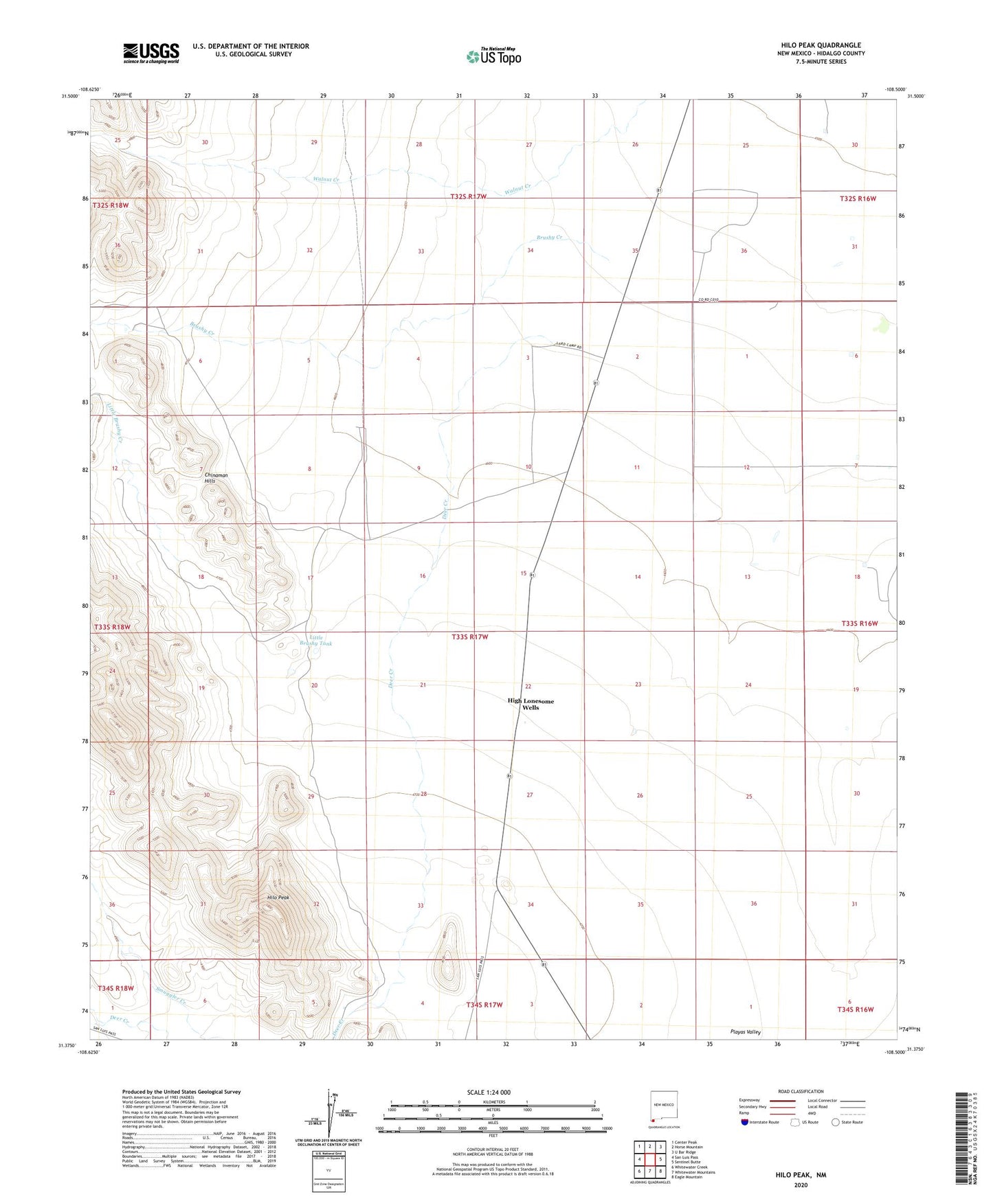
2020 topographic map quadrangle Hilo Peak in the state of New Mexico. Scale: 1:24000. Based on the newly updated USGS 7.5' US Topo map series, this map is in the following counties: Hidalgo. The map contains contour data, water features, and other items you are used to seeing on USGS maps, but also has updated roads and other features. This is the next generation of topographic maps. Printed on high-quality waterproof paper with UV fade-resistant inks.
Quads adjacent to this one:
West: San Luis Pass
Northwest: Center Peak
North: Horse Mountain
Northeast: U Bar Ridge
East: Sentinel Butte
Southeast: Eagle Mountain
South: Whitewater Mountains
Southwest: Whitewater Creek
Contains the following named places: Brushy Creek, Chinaman Hills, Deer Creek, Granite Water Well, High Lonesome Wells, Hilo Peak, Lards Ranch, Little Brushy Creek, Little Brushy Tank, Lookout Well, M Water Well, McDauw's Well, Smuggler Creek, Test 3 Water Well, Thicket Water Well, Walnut Creek