MyTopo
U Bar Ridge New Mexico US Topo Map
Couldn't load pickup availability
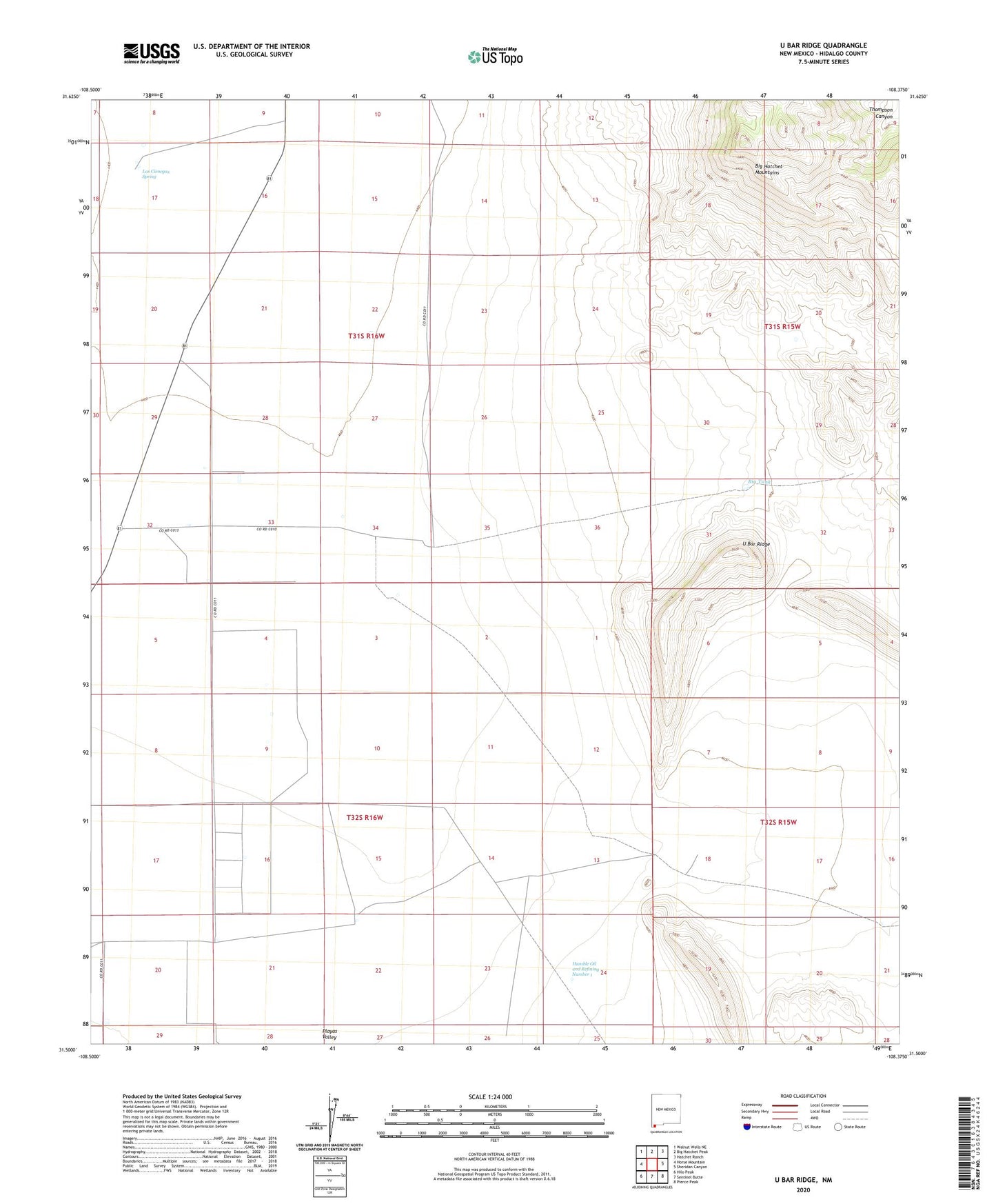
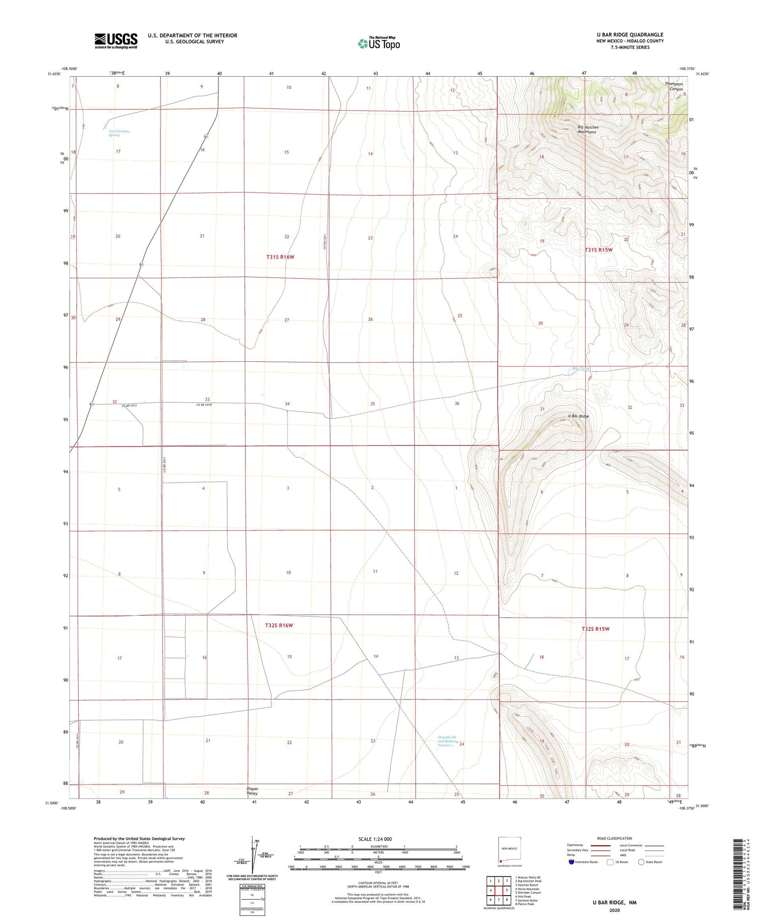
2023 topographic map quadrangle U Bar Ridge in the state of New Mexico. Scale: 1:24000. Based on the newly updated USGS 7.5' US Topo map series, this map is in the following counties: Hidalgo. The map contains contour data, water features, and other items you are used to seeing on USGS maps, but also has updated roads and other features. This is the next generation of topographic maps. Printed on high-quality waterproof paper with UV fade-resistant inks.
Quads adjacent to this one:
West: Horse Mountain
Northwest: Walnut Wells NE
North: Big Hatchet Peak
Northeast: Hatchet Ranch
East: Sheridan Canyon
Southeast: Pierce Peak
South: Sentinel Butte
Southwest: Hilo Peak
This map covers the same area as the classic USGS quad with code o31108e4.
Contains the following named places: Big Tank, Gilberts Wells, Humble Number 1, Humble Oil and Refining Number 1, K Ranch Water Well, Keiths Ranch, Las Cienegas Spring, Little Tank, Mosse Ranch, New Wells, Proverbial Gypsum, Robertsons Ranch, U Bar Ridge, U Bar Wells, Whitewater Wells