MyTopo
Horseshoe Bend New Mexico US Topo Map
Couldn't load pickup availability
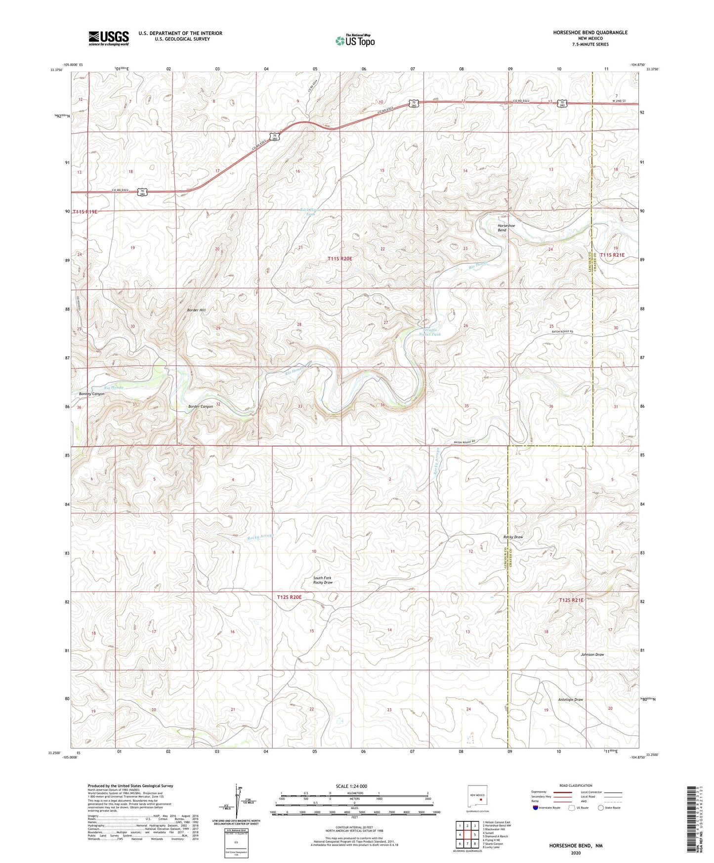
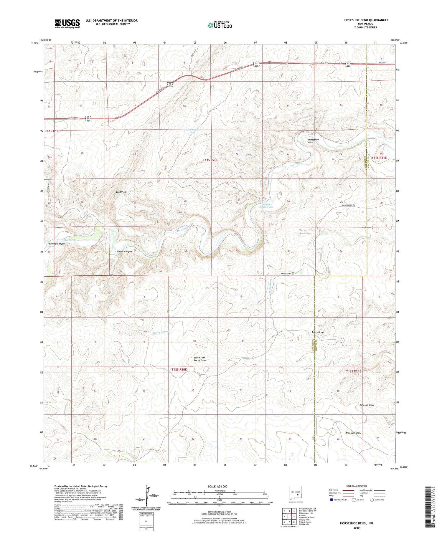
2020 topographic map quadrangle Horseshoe Bend in the state of New Mexico. Scale: 1:24000. Based on the newly updated USGS 7.5' US Topo map series, this map is in the following counties: Lincoln, Chaves. The map contains contour data, water features, and other items you are used to seeing on USGS maps, but also has updated roads and other features. This is the next generation of topographic maps. Printed on high-quality waterproof paper with UV fade-resistant inks.
Quads adjacent to this one:
West: Sunset
Northwest: Nelson Canyon East
North: Horseshoe Bend NW
Northeast: Blackwater Hill
East: Diamond A Ranch
Southeast: Lucky Lake
South: Skunk Canyon
Southwest: Flying H NE
Contains the following named places: 12586 Water Well, Bar H Farm, Bonney Canyon, Border Canyon, Border Farm, Border Farm Well, Border Well, Clarence Well, Divide Camp, Francisco Cordova Homestead, High Lonesome Well, Horseshoe Bend, Maney Well, North Windmill, Nunez Ranch, Ridgill Well, Rock House Tank, Serapio Nunez Tank, Sevenhundred and Seventyseven Well, Spring