
MyTopo
Ingram Lake New Mexico US Topo Map
Couldn't load pickup availability
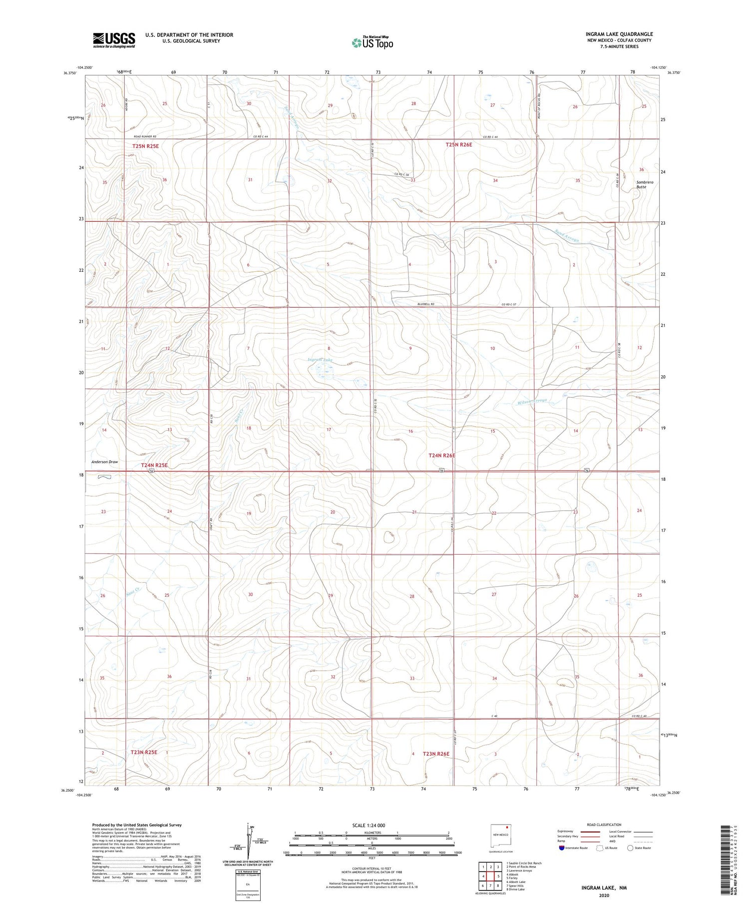
2020 topographic map quadrangle Ingram Lake in the state of New Mexico. Scale: 1:24000. Based on the newly updated USGS 7.5' US Topo map series, this map is in the following counties: Colfax. The map contains contour data, water features, and other items you are used to seeing on USGS maps, but also has updated roads and other features. This is the next generation of topographic maps. Printed on high-quality waterproof paper with UV fade-resistant inks.
Quads adjacent to this one:
West: Abbott
Northwest: Sauble Circle Dot Ranch
North: Point of Rocks Mesa
Northeast: Lawrence Arroyo
East: Farley
Southeast: Divine Lake
South: Spear Hills
Southwest: Abbott Lake
Contains the following named places: Abbott Post Office, Anderson Draw, Bada, Decker Dam, Fisher Well, Hatod Well, Ingram Lake, Jeffers, Kidder Well, Newton Well, Ottos Wells, Sombrero Butte, Spencer Well, Ward Well, Wood Well


