MyTopo
Jal NW New Mexico US Topo Map
Couldn't load pickup availability
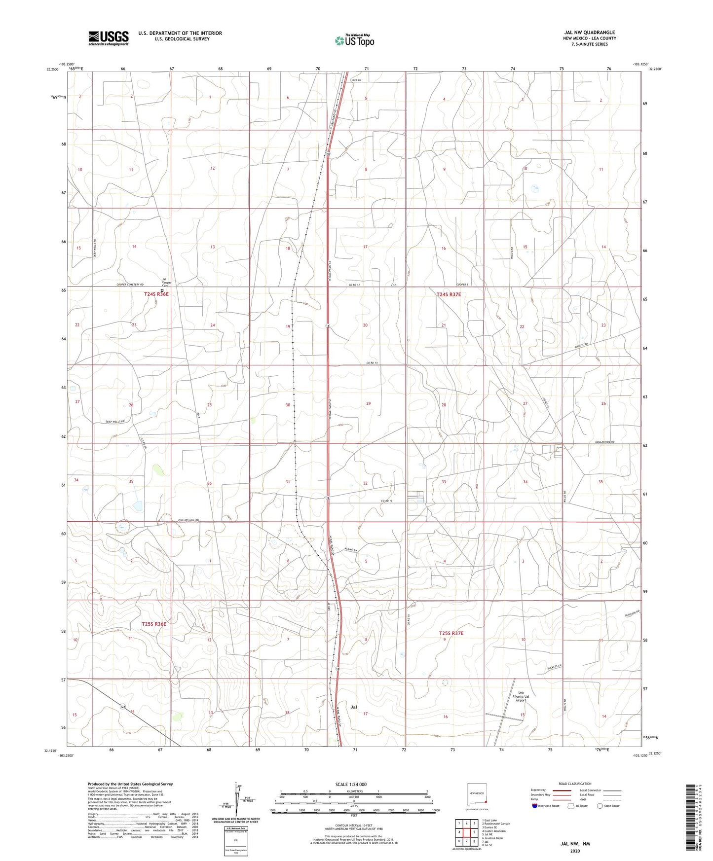
2020 topographic map quadrangle Jal NW in the state of New Mexico. Scale: 1:24000. Based on the newly updated USGS 7.5' US Topo map series, this map is in the following counties: Lea. The map contains contour data, water features, and other items you are used to seeing on USGS maps, but also has updated roads and other features. This is the next generation of topographic maps. Printed on high-quality waterproof paper with UV fade-resistant inks.
Quads adjacent to this one:
West: Custer Mountain
Northwest: East Lake
North: Rattlesnake Canyon
Northeast: Eunice SE
East: Jal NE
Southeast: Jal SE
South: Jal
Southwest: Javelina Basin
Contains the following named places: Doom, First United Methodist Church, Jal Cooper Cemetery, Lea County/Jal Airport, Saint Cecillias Church, Woolworth Community Library