MyTopo
Lovington SE New Mexico US Topo Map
Couldn't load pickup availability
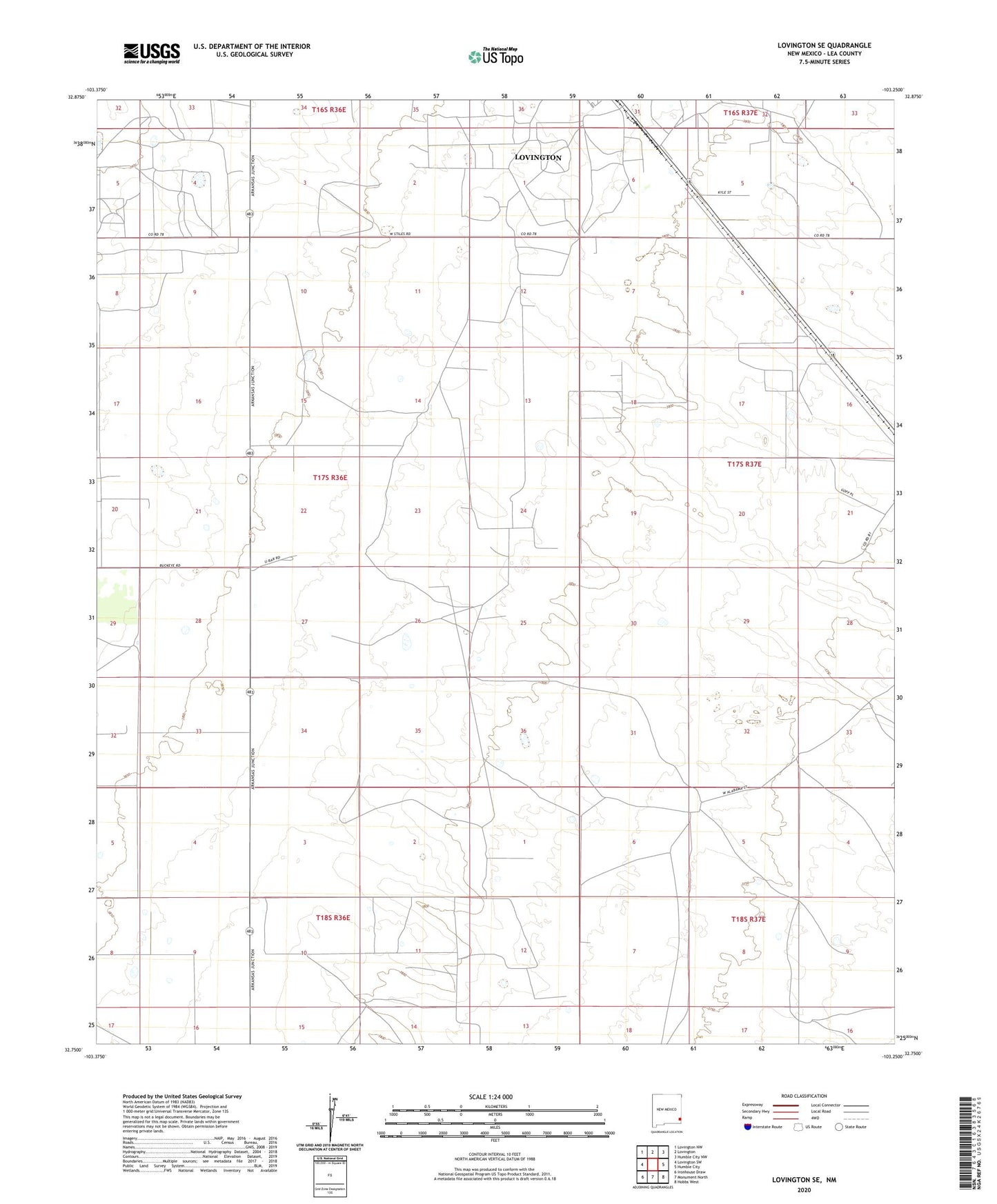
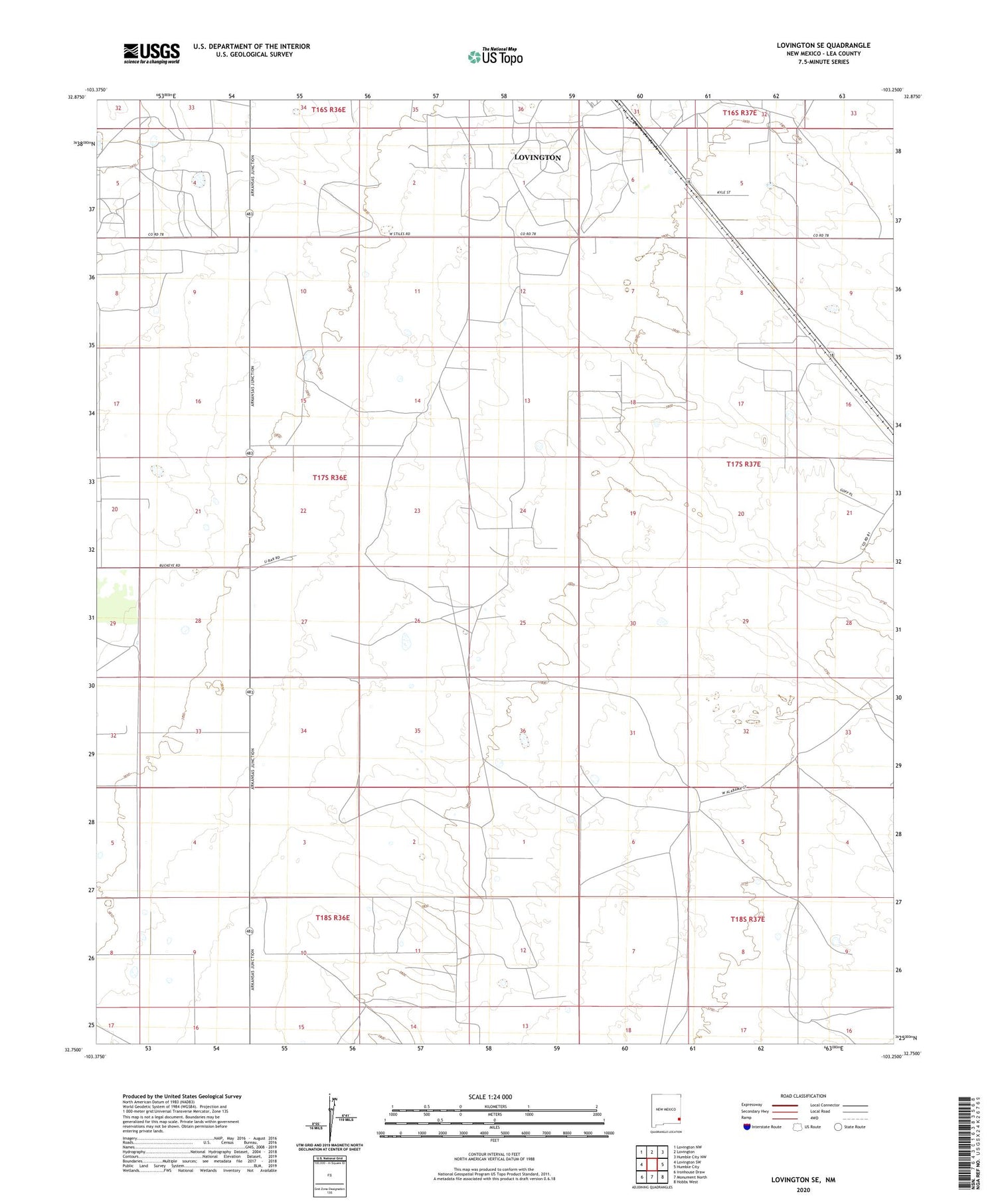
2020 topographic map quadrangle Lovington SE in the state of New Mexico. Scale: 1:24000. Based on the newly updated USGS 7.5' US Topo map series, this map is in the following counties: Lea. The map contains contour data, water features, and other items you are used to seeing on USGS maps, but also has updated roads and other features. This is the next generation of topographic maps. Printed on high-quality waterproof paper with UV fade-resistant inks.
Quads adjacent to this one:
West: Lovington SW
Northwest: Lovington NW
North: Lovington
Northeast: Humble City NW
East: Humble City
Southeast: Hobbs West
South: Monument North
Southwest: Ironhouse Draw
Contains the following named places: 10274 Water Well, Adobe Well, Culp Ranch, Eller Well, Kimborough Ranch, Turner Ranch, West Lovington Oil Field