MyTopo
Malpie Mountain New Mexico US Topo Map
Couldn't load pickup availability
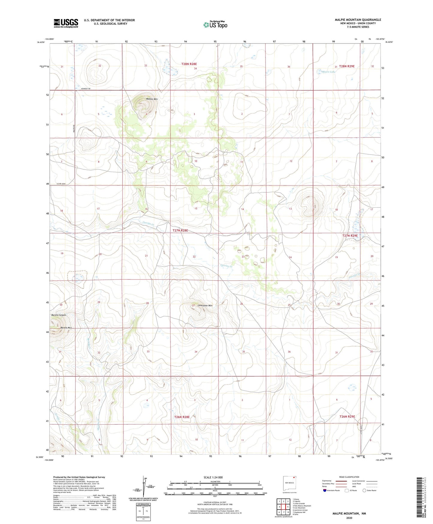
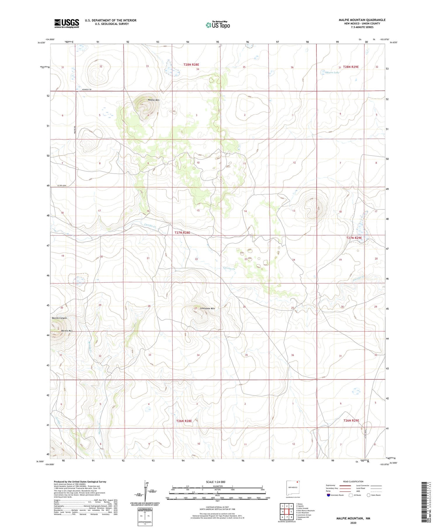
2020 topographic map quadrangle Malpie Mountain in the state of New Mexico. Scale: 1:24000. Based on the newly updated USGS 7.5' US Topo map series, this map is in the following counties: Union. The map contains contour data, water features, and other items you are used to seeing on USGS maps, but also has updated roads and other features. This is the next generation of topographic maps. Printed on high-quality waterproof paper with UV fade-resistant inks.
Quads adjacent to this one:
West: Palo Blanco Mountain
Northwest: Kiowa
North: Capulin
Northeast: Little Grande
East: Cow Mountain
Southeast: Sofia
South: Gladstone NW
Southwest: Lawrence Arroyo
Contains the following named places: Armijo Creek, Barela Mountain, Lonesome Mountain, Malpie Lake, Malpie Mountain, Maverick, Moore Lake, Number Eight Well, Number Five Well, Number Four Well, Rosey Windmill