MyTopo
Malstrom Ranch New Mexico US Topo Map
Couldn't load pickup availability
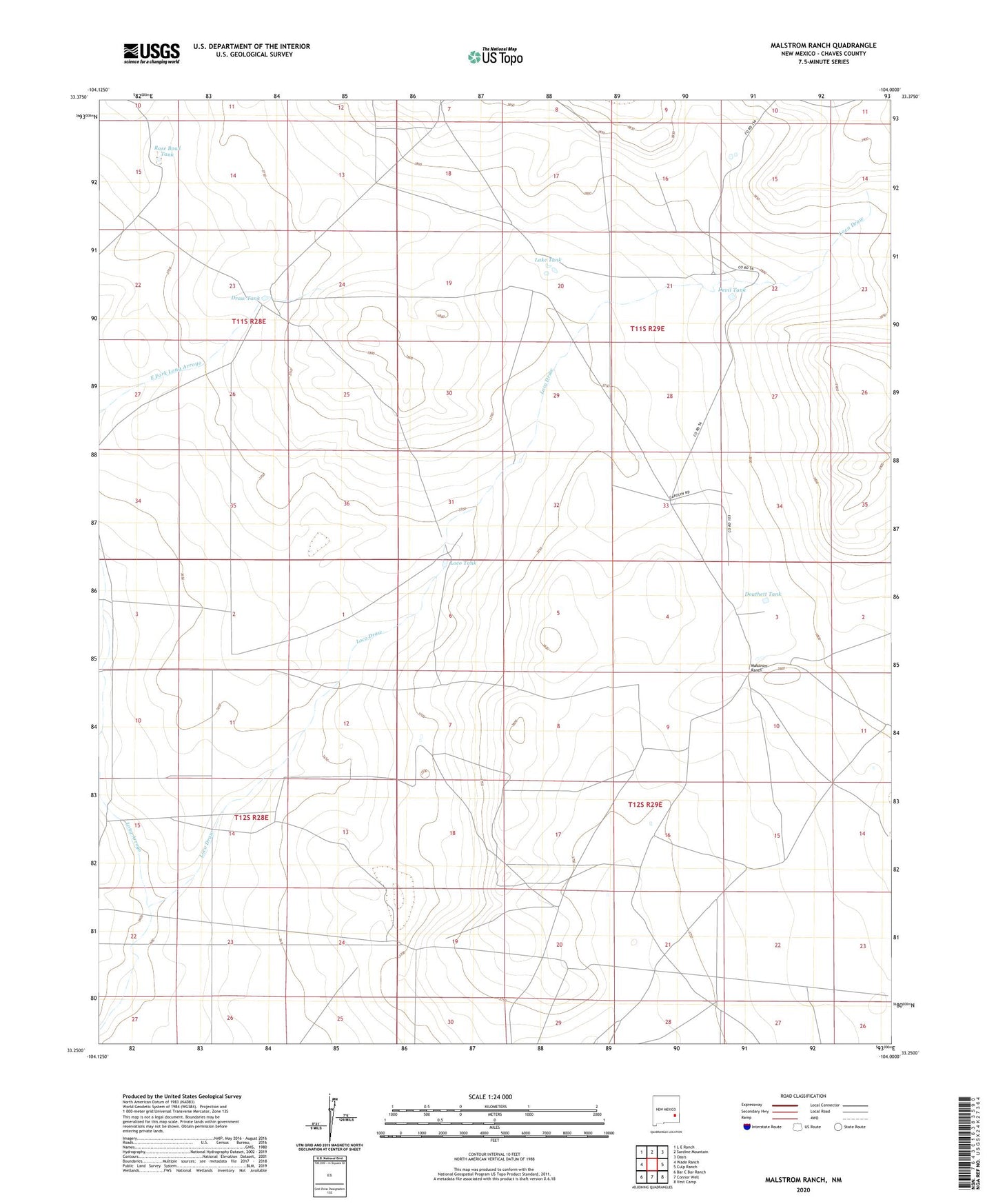
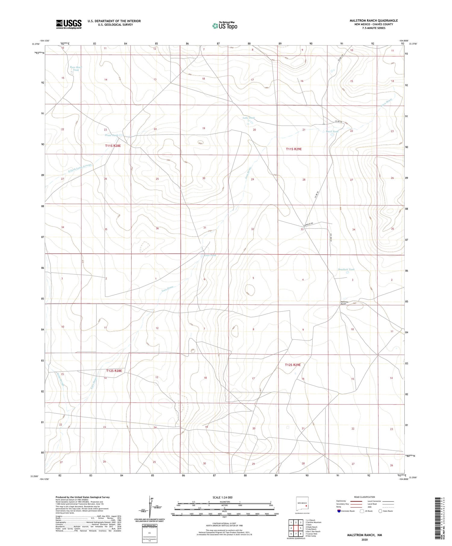
2020 topographic map quadrangle Malstrom Ranch in the state of New Mexico. Scale: 1:24000. Based on the newly updated USGS 7.5' US Topo map series, this map is in the following counties: Chaves. The map contains contour data, water features, and other items you are used to seeing on USGS maps, but also has updated roads and other features. This is the next generation of topographic maps. Printed on high-quality waterproof paper with UV fade-resistant inks.
Quads adjacent to this one:
West: Wade Ranch
Northwest: L E Ranch
North: Sardine Mountain
Northeast: Oasis
East: Culp Ranch
Southeast: Vest Camp
South: Connor Well
Southwest: Bar C Bar Ranch
Contains the following named places: Chuck Box Well, Devil Tank, Double Tank, Douthett Tank, Draw Tank, Lake Tank, Loco Draw, Loco Tank, Malstrom Ranch, Rose Bowl Tank, Southeast Chaves Division, ZIP Code: 88203