MyTopo
Mesa Cherisco New Mexico US Topo Map
Couldn't load pickup availability
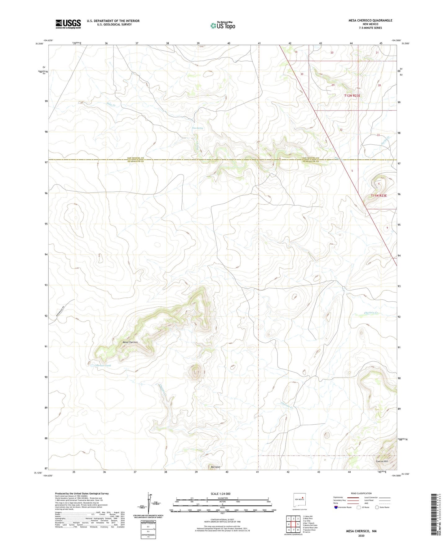
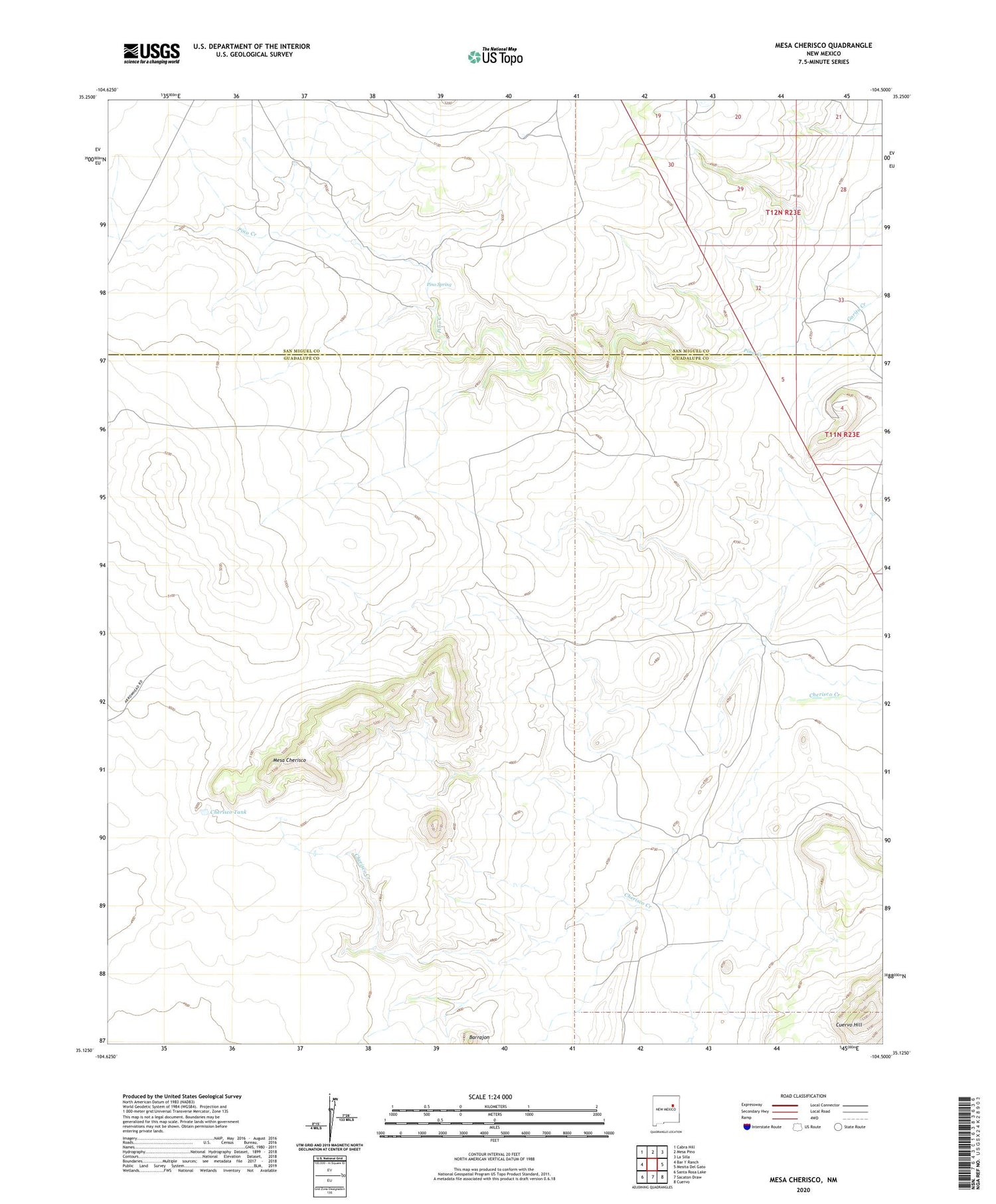
2020 topographic map quadrangle Mesa Cherisco in the state of New Mexico. Scale: 1:24000. Based on the newly updated USGS 7.5' US Topo map series, this map is in the following counties: Guadalupe, San Miguel. The map contains contour data, water features, and other items you are used to seeing on USGS maps, but also has updated roads and other features. This is the next generation of topographic maps. Printed on high-quality waterproof paper with UV fade-resistant inks.
Quads adjacent to this one:
West: Bar Y Ranch
Northwest: Cabra Hill
North: Mesa Pino
Northeast: La Silla
East: Mesita Del Gato
Southeast: Cuervo
South: Sacaton Draw
Southwest: Santa Rosa Lake
Contains the following named places: Barrajon, Barrajon Well, Boylan Ranch, Bull Pasture Well, Cherisco Tank, Cherisco Well, Cuervo Hill, Deep Well, Mesa Cherisco, North Corner Well, Pino Ranch, Pino Spring, Pino Well