MyTopo
Pennington New Mexico US Topo Map
Couldn't load pickup availability
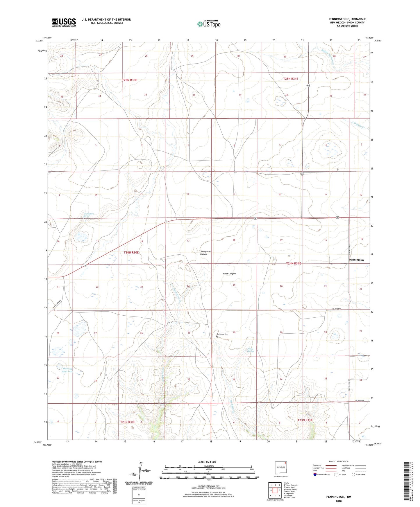
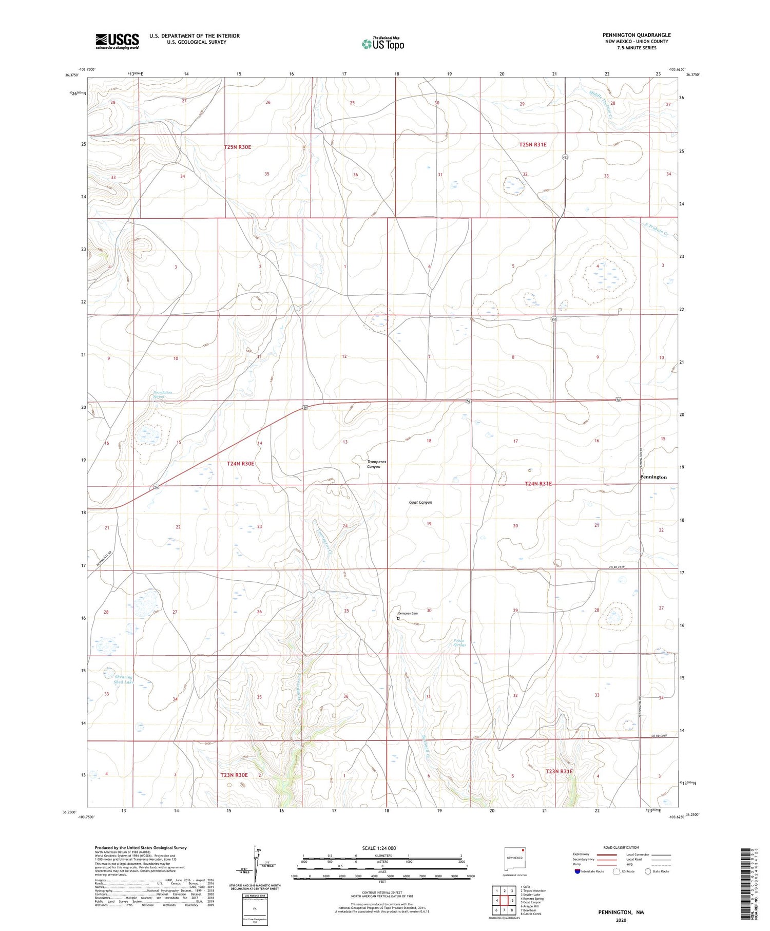
2020 topographic map quadrangle Pennington in the state of New Mexico. Scale: 1:24000. Based on the newly updated USGS 7.5' US Topo map series, this map is in the following counties: Union. The map contains contour data, water features, and other items you are used to seeing on USGS maps, but also has updated roads and other features. This is the next generation of topographic maps. Printed on high-quality waterproof paper with UV fade-resistant inks.
Quads adjacent to this one:
West: Romero Spring
Northwest: Sofia
North: Tripod Mountain
Northeast: Snyder Lake
East: Goat Canyon
Southeast: Garcia Creek
South: Beenham
Southwest: Aragon Hill
Contains the following named places: Dempsey Cemetery, Foundation Spring, Pasamonte, Pasamonte Lake, Pasamonte Ranch, Pasamonte Weather Station, Pennington, Pennington Cemetery, Pennington Post Office, Pennington Weather Station, Poison Springs, Shearing Shed Lake