MyTopo
Rattlesnake Canyon New Mexico US Topo Map
Couldn't load pickup availability
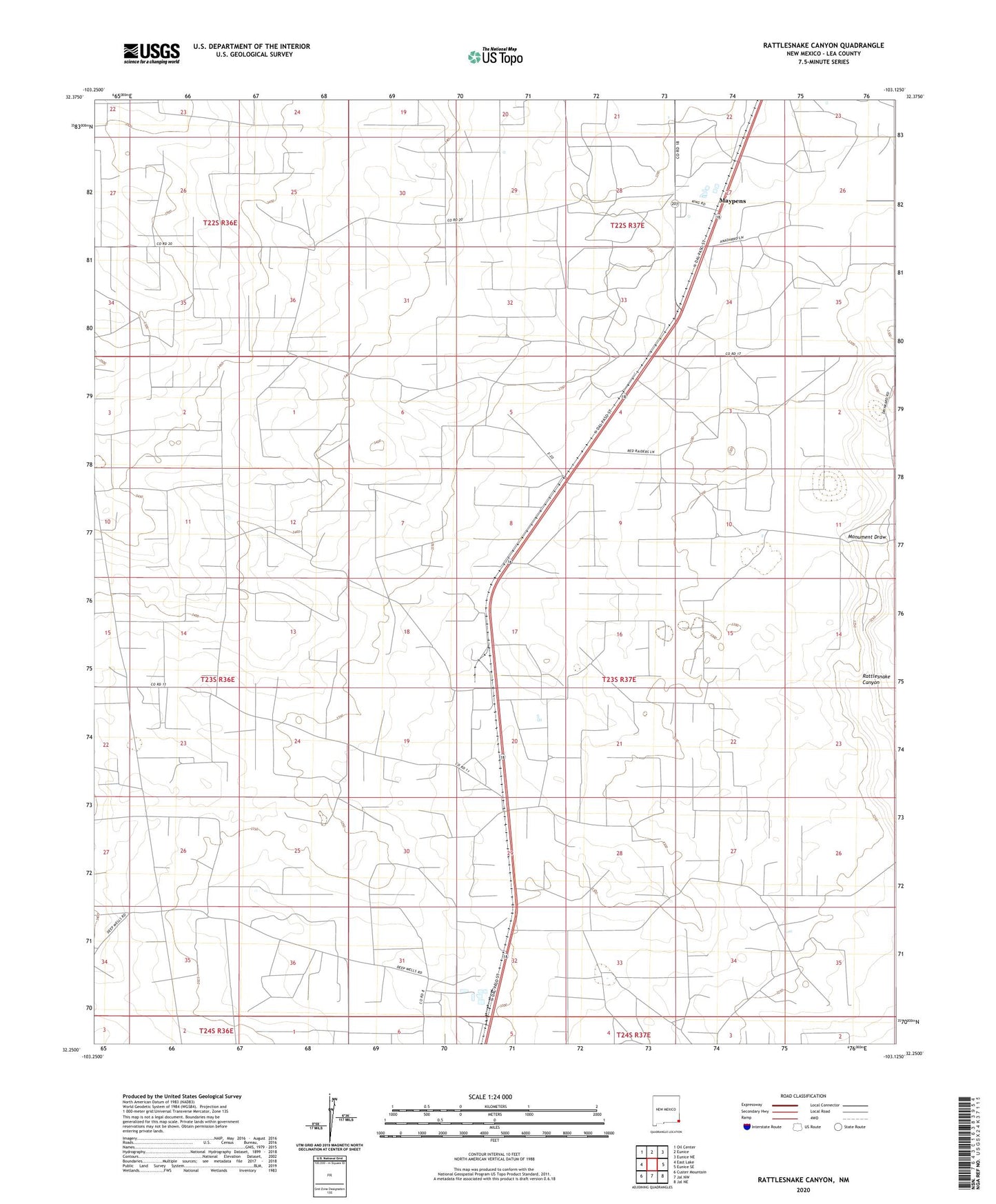
2020 topographic map quadrangle Rattlesnake Canyon in the state of New Mexico. Scale: 1:24000. Based on the newly updated USGS 7.5' US Topo map series, this map is in the following counties: Lea. The map contains contour data, water features, and other items you are used to seeing on USGS maps, but also has updated roads and other features. This is the next generation of topographic maps. Printed on high-quality waterproof paper with UV fade-resistant inks.
Quads adjacent to this one:
West: East Lake
Northwest: Oil Center
North: Eunice
Northeast: Eunice NE
East: Eunice SE
Southeast: Jal NE
South: Jal NW
Southwest: Custer Mountain
Contains the following named places: 10508 Water Well, 10511 Water Well, 10512 Water Well, 10513 Water Well, 10516 Water Well, 10517 Water Well, 10518 Water Well, 10519 Water Well, 10520 Water Well, 10521 Water Well, 10522 Water Well, 10523 Water Well, 10524 Water Well, 10525 Water Well, 10526 Water Well, 10527 Water Well, 10528 Water Well, 10529 Water Well, 10530 Water Well, 10531 Water Well, 10532 Water Well, 10533 Water Well, 10534 Water Well, 10536 Water Well, 10537 Water Well, 10538 Water Well, 10539 Water Well, 10540 Water Well, 10541 Water Well, 10542 Water Well, 10543 Water Well, 10544 Water Well, 10545 Water Well, 10546 Water Well, 10547 Water Well, 10548 Water Well, 10549 Water Well, Johnson, Maypens, Rattlesnake Canyon, Teague