MyTopo
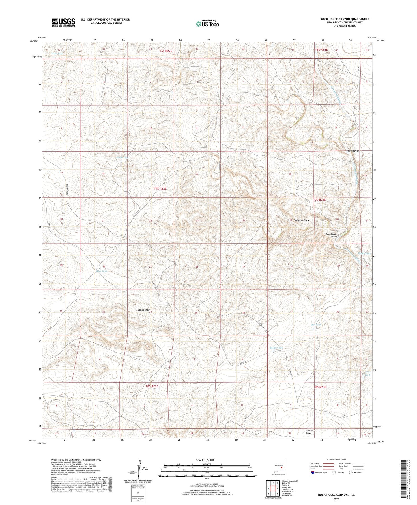
Rock House Canyon New Mexico US Topo Map
Couldn't load pickup availability
2020 topographic map quadrangle Rock House Canyon in the state of New Mexico. Scale: 1:24000. Based on the newly updated USGS 7.5' US Topo map series, this map is in the following counties: Chaves. The map contains contour data, water features, and other items you are used to seeing on USGS maps, but also has updated roads and other features. This is the next generation of topographic maps. Printed on high-quality waterproof paper with UV fade-resistant inks.
Quads adjacent to this one:
West: Deep Well
Northwest: Round Mountain SE
North: Mesa SW
Northeast: Mesa SE
East: Marley Draw
Southeast: Panther Hill
South: Barn Draw
Southwest: White Flat SE
Contains the following named places: 10000 Water Well, 10452 Water Well, 10750 Water Well, 10769 Water Well, Bajillo Tank, Bajillo Well, CCC Tank, China Draw, China Tank, Eddleman Draw, Flores Tank, Gavi Tank, Irwin Corn Ranch, Macho Ranch, North Tank, Red Tank, Rock House Canyon