MyTopo
Round Mountain SE New Mexico US Topo Map
Couldn't load pickup availability
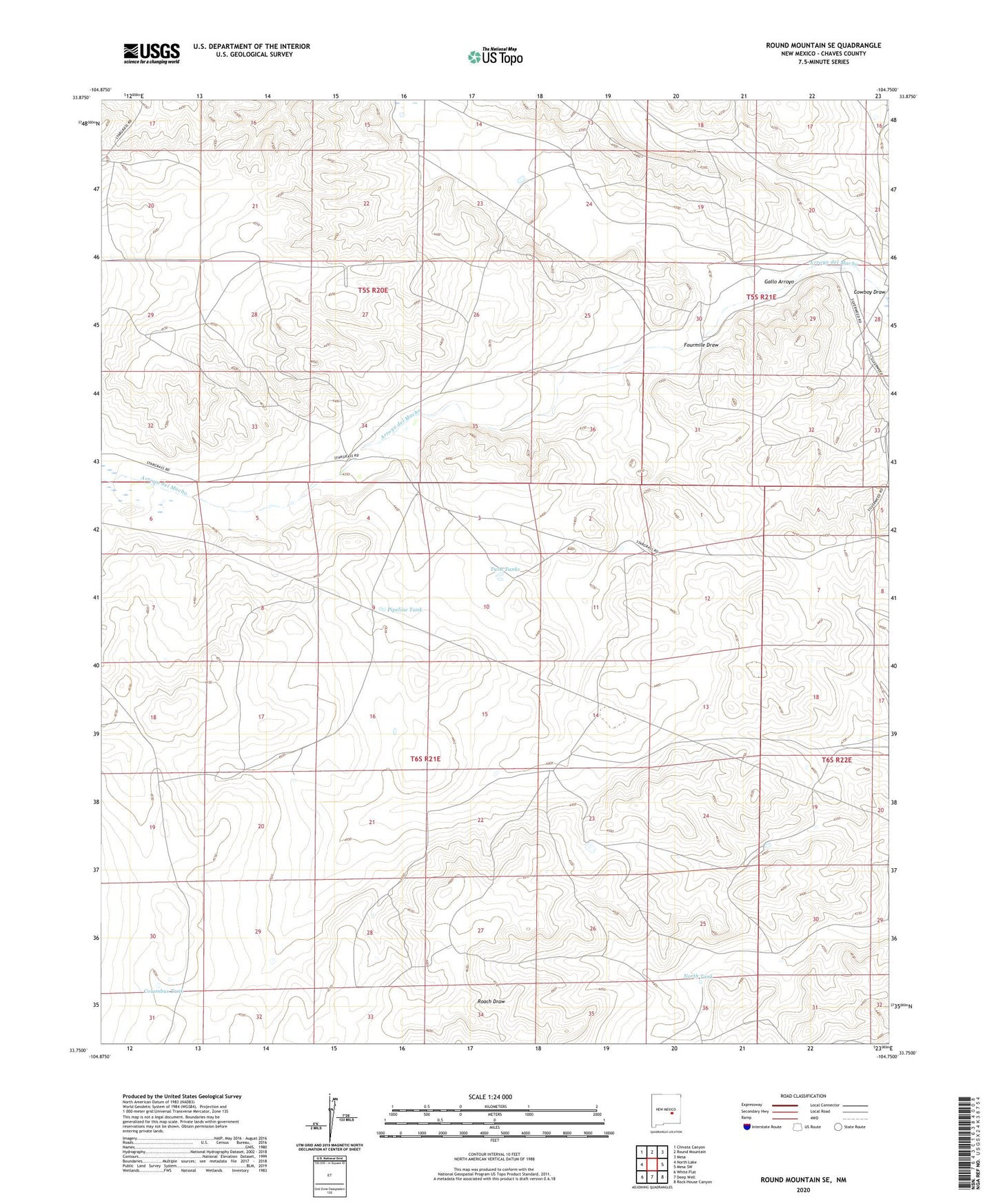
2023 topographic map quadrangle Round Mountain SE in the state of New Mexico. Scale: 1:24000. Based on the newly updated USGS 7.5' US Topo map series, this map is in the following counties: Chaves. The map contains contour data, water features, and other items you are used to seeing on USGS maps, but also has updated roads and other features. This is the next generation of topographic maps. Printed on high-quality waterproof paper with UV fade-resistant inks.
Quads adjacent to this one:
West: North Lake
Northwest: Chivata Canyon
North: Round Mountain
Northeast: Mesa
East: Mesa SW
Southeast: Rock House Canyon
South: Deep Well
Southwest: White Flat
This map covers the same area as the classic USGS quad with code o33104g7.
Contains the following named places: Boswell Ranch, Columbus Tank, Cowboy Draw, Dubs Deep Well, Fourmile Draw, Gallo Arroyo, J M Fourmile Well, Johnson Ranch, McDaniels Ranch, New Windmill, North Tank, Pipeline Tank, Twin Tanks, W R Fourmile Well